At last, scientists have tracked down a substantial portion of Earth’s crust that seemed to have vanished.
Thanks to cutting-edge space imaging technology, they’re not only capturing stars but also solving deep-rooted mysteries like the enigmatic water “scars” on our planet’s surface.
Decoding Earth’s Water Scars with Advanced Imaging
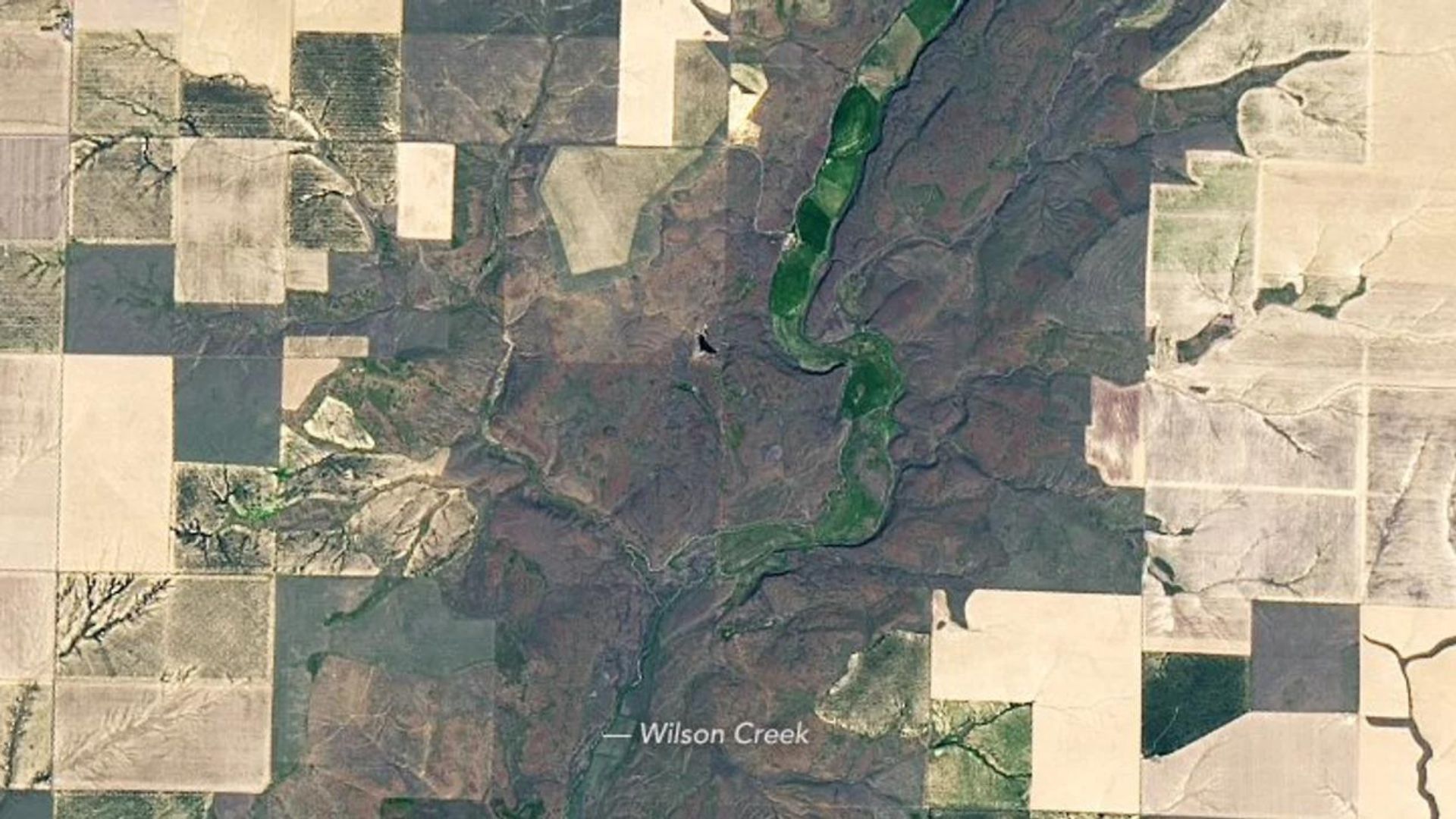
Space imaging has evolved beyond celestial snapshots, playing a crucial role in unraveling Earth’s mysteries.
These sophisticated technologies have been key in identifying and exploring water “scars”, significant geological markers that tell stories of Earth’s turbulent past.
Solving a Century-Old Geological Puzzle: The Great Unconformity
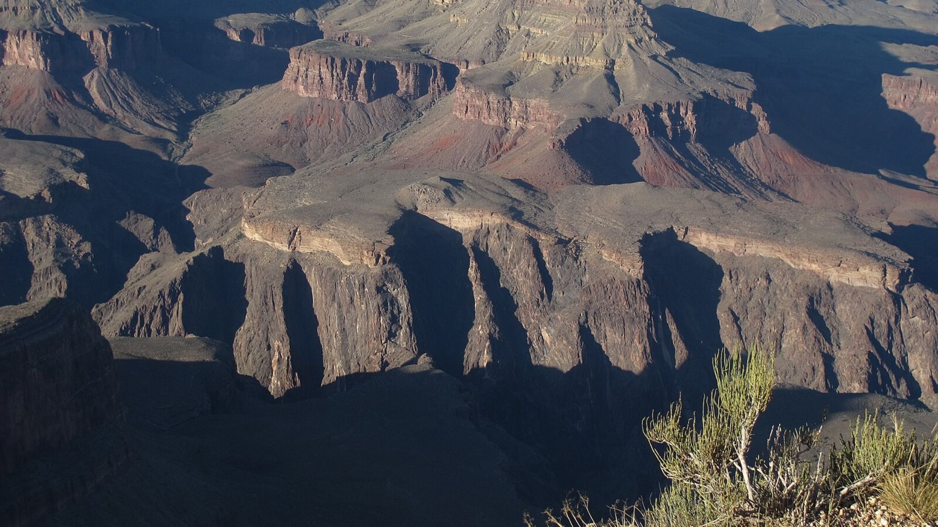
For over a hundred years, “The Great Unconformity” has baffled scientists.
This term describes gaping holes in the geological record where massive slabs of crust are conspicuously absent, prompting a reevaluation of Earth’s dynamic history.
The Ice Age that Sculpted Our Planet
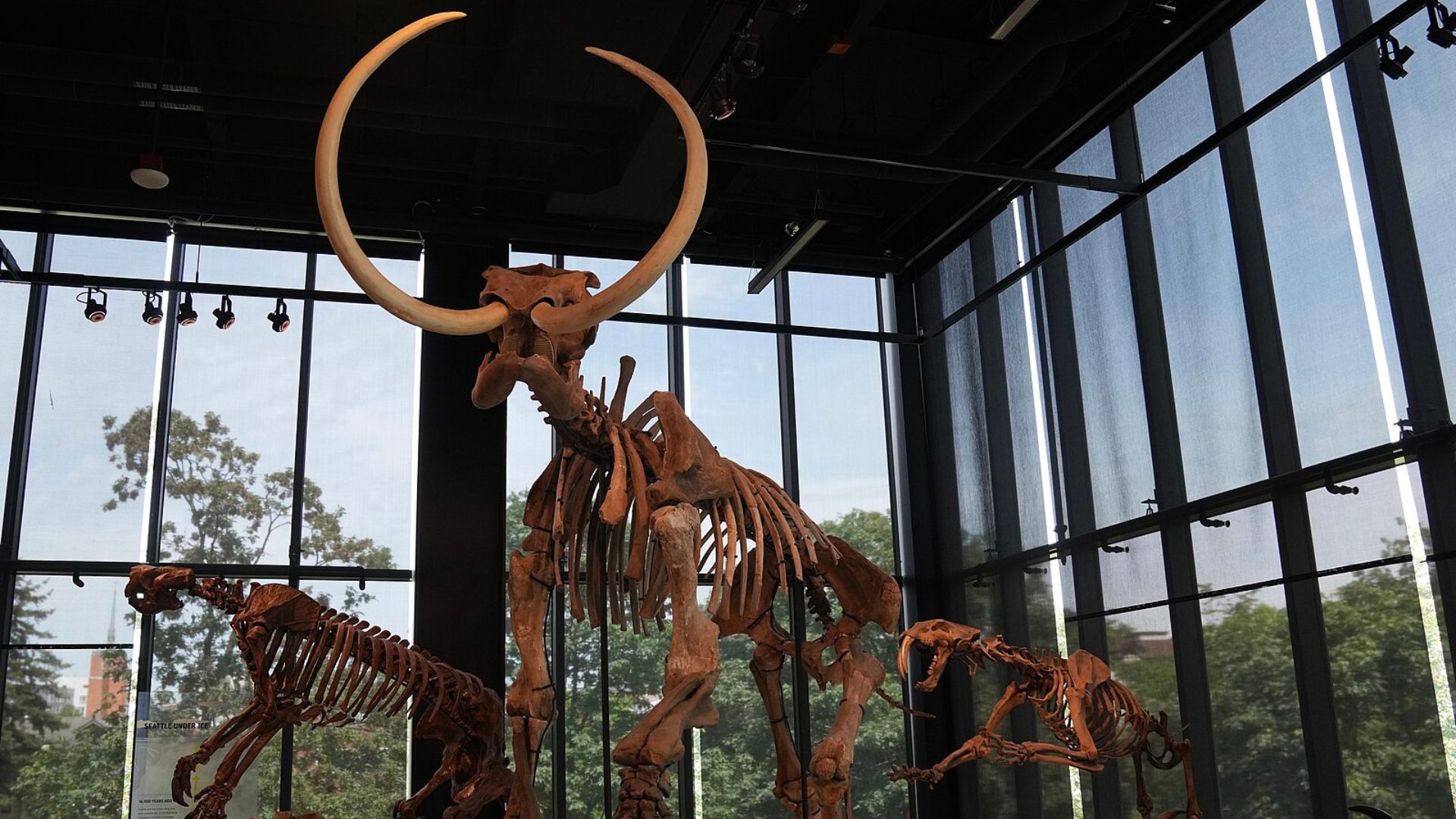
Recent research attributes these missing crustal pieces to intense glacial erosion during “Snowball Earth,” a period when ice nearly encased our planet.
This icy grip had a profound impact on the geological framework of Earth.
Bridging the Gaps in Geological Records
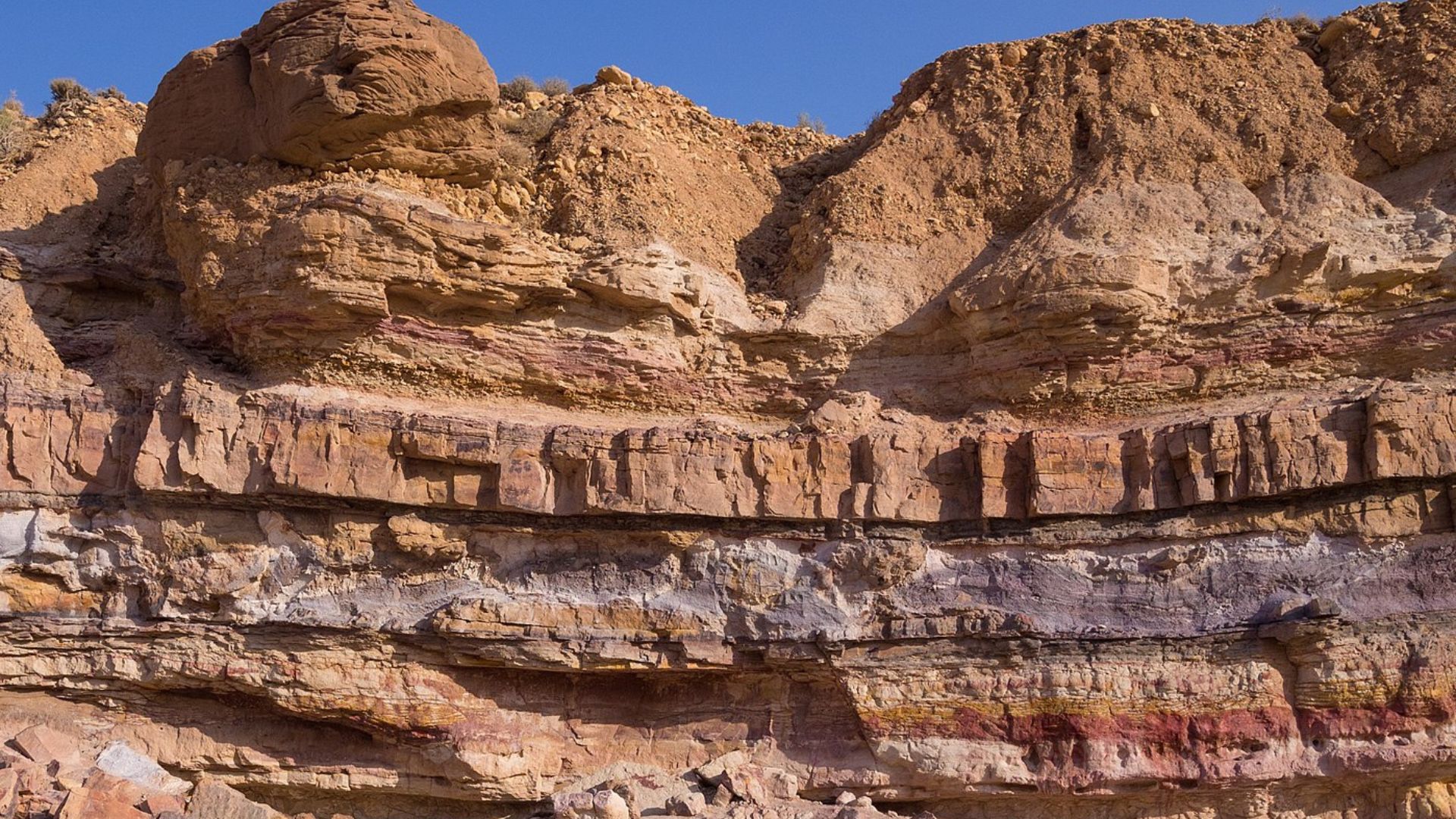
The phenomenon results in a noticeable discontinuity in sedimentary layers, where there’s a stark age difference between older eroded rocks and the younger ones that replace them.
This gap provides crucial insights into the erosive forces at play.
Groundbreaking Observations at the Grand Canyon
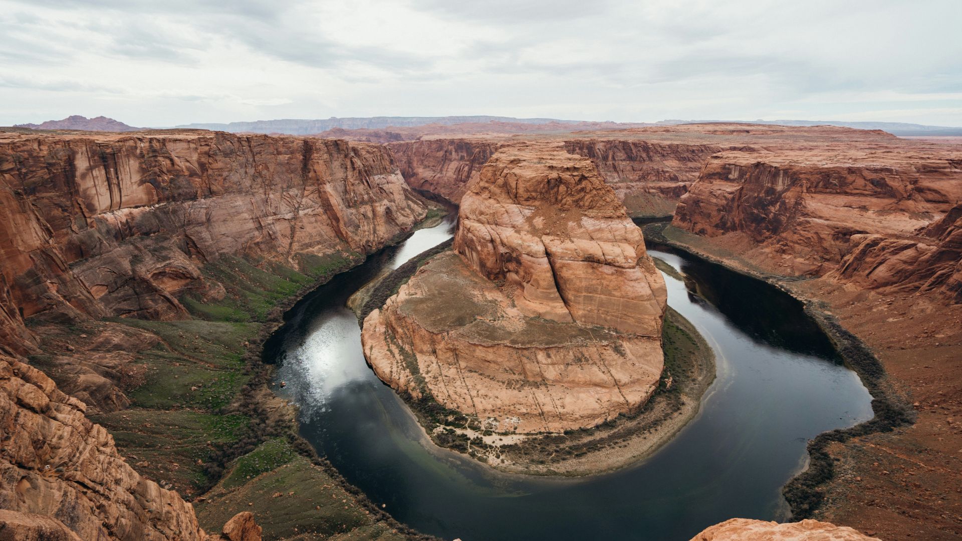
Noticed first in 1869 at the Grand Canyon, this sharp disparity in rock ages was later found in various global locations.
This widespread consistency is what led to naming it “The Great Unconformity”.
Measuring the Impact of Glacial Erosion
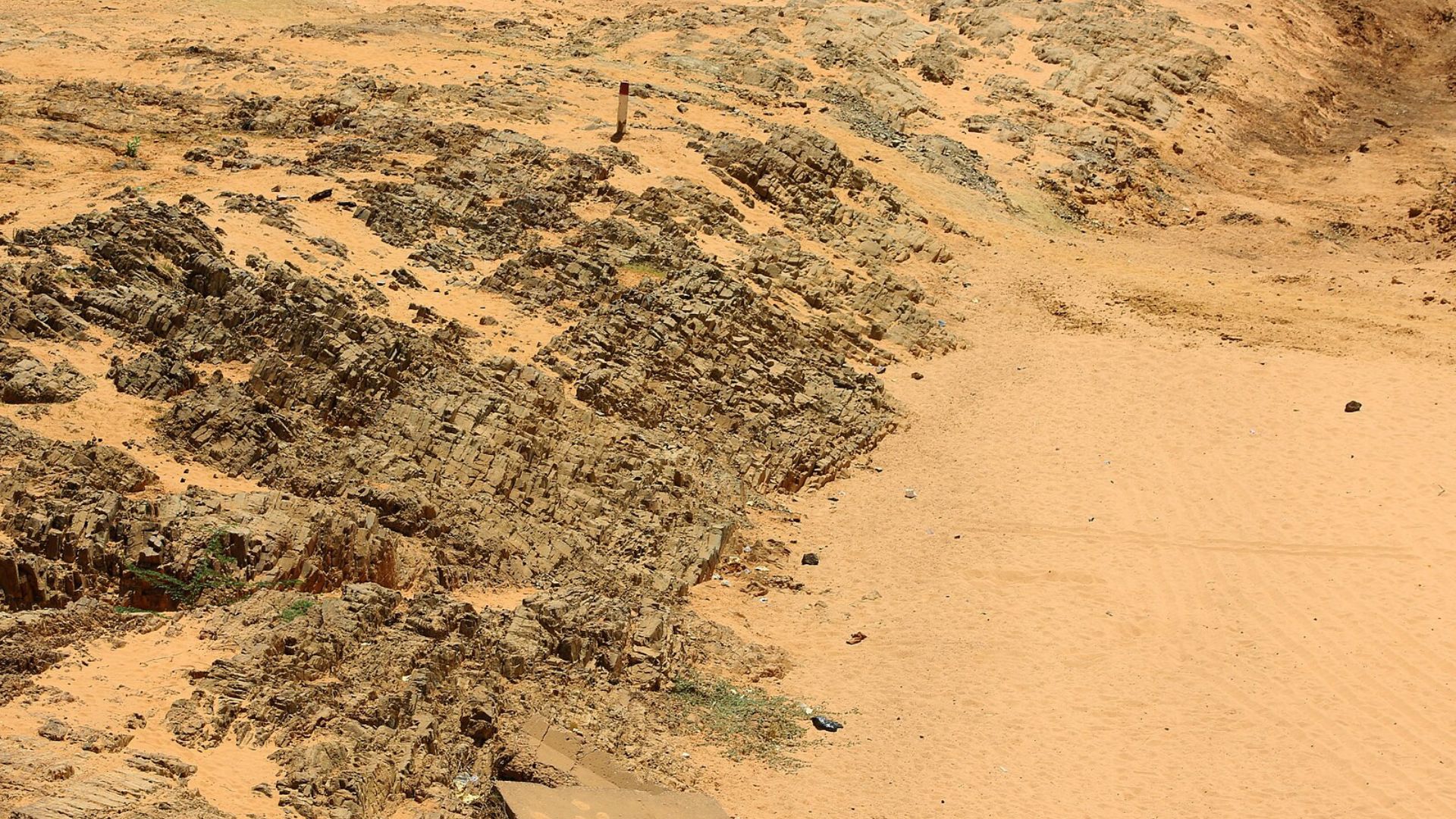
Recent research has determined that an average of 3-5 kilometers (about 2-3 miles) of rock was eroded globally due to glacial actions.
This finding illustrates the significant geological impact of this period.
Insights from Dr. Brenhin Keller
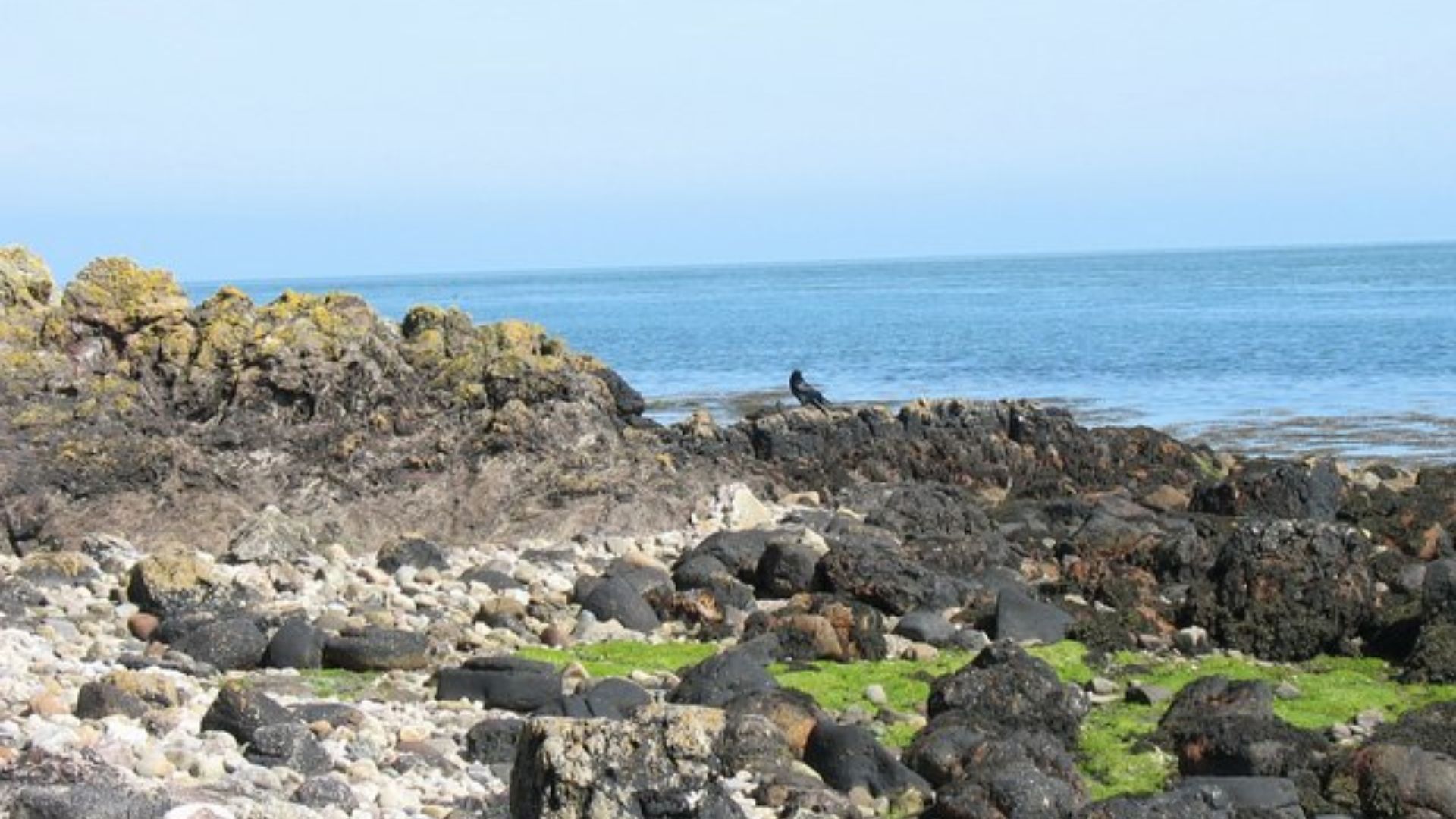
Dr. Brenhin Keller of the Berkeley Geochronology Center pointed out the enormity of the geological loss.
They highlighted that “one billion cubic kilometers (200 million cubic miles) of pre-Cambrian material is missing based on what would be expected to exist.”
Expanding Erosion Theories into the Pre-Phanerozoic
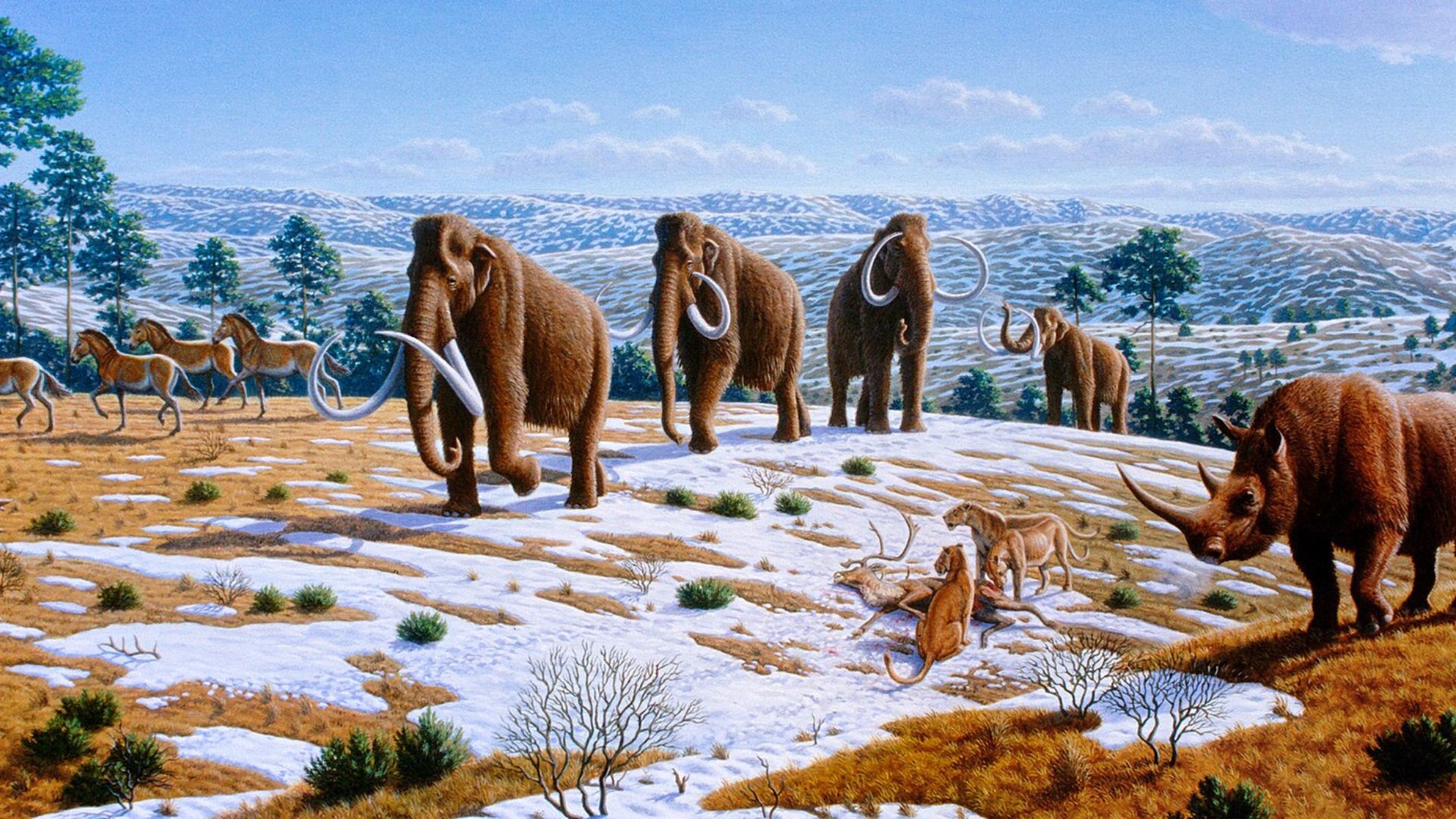
The team’s research advances the theory that erosion was even more extensive before the Phanerozoic era began.
This is evidenced by the specific isotopes found in crystals dating back to that era.
Tracing the Journey of Ancient Rocks
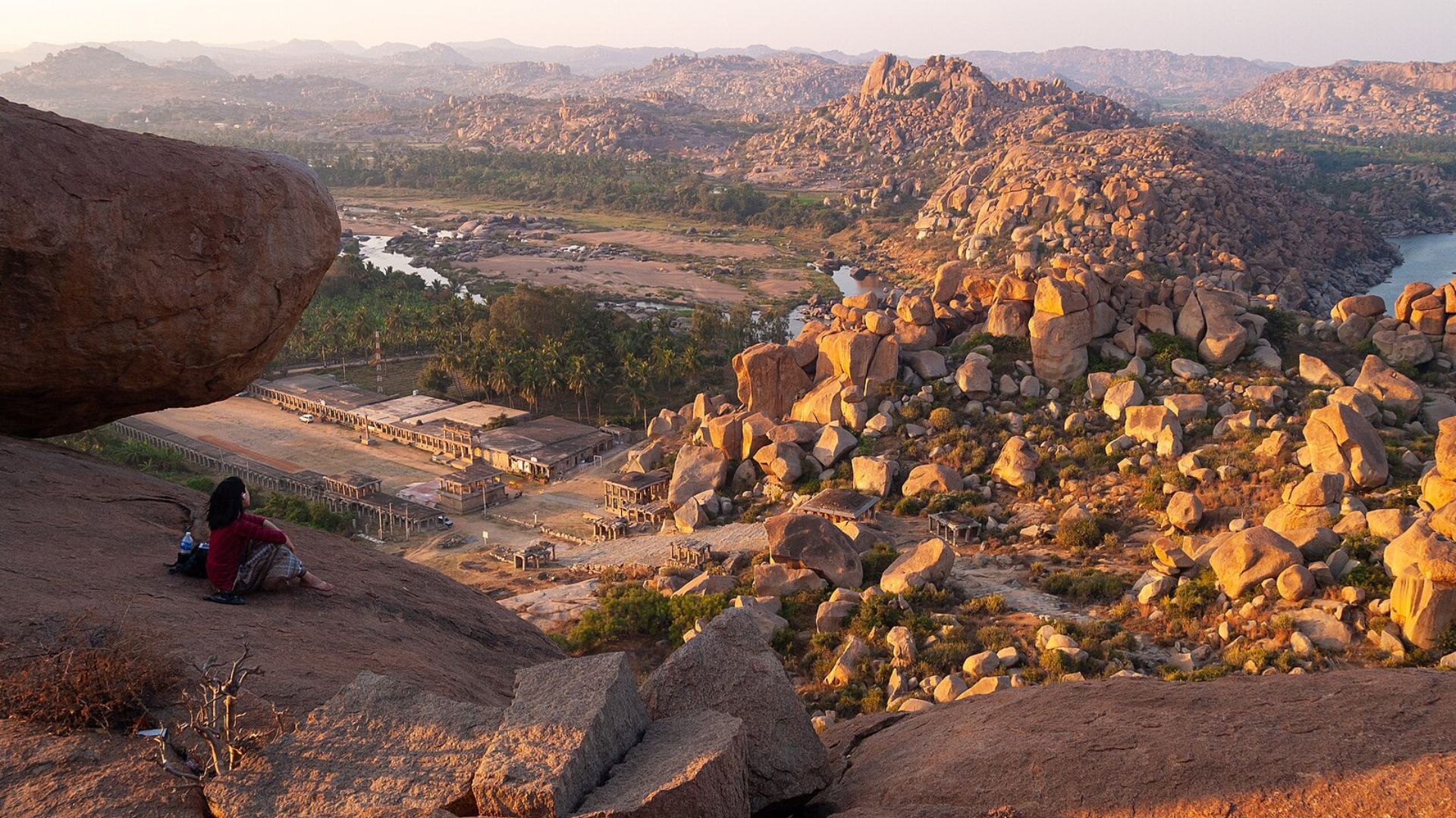
These isotopes are indicative of erosion from ancient rocks and were deposited in colder conditions.
They offer a window into the environmental conditions and geological processes of early Earth.
Rethinking Asteroid Impact Records
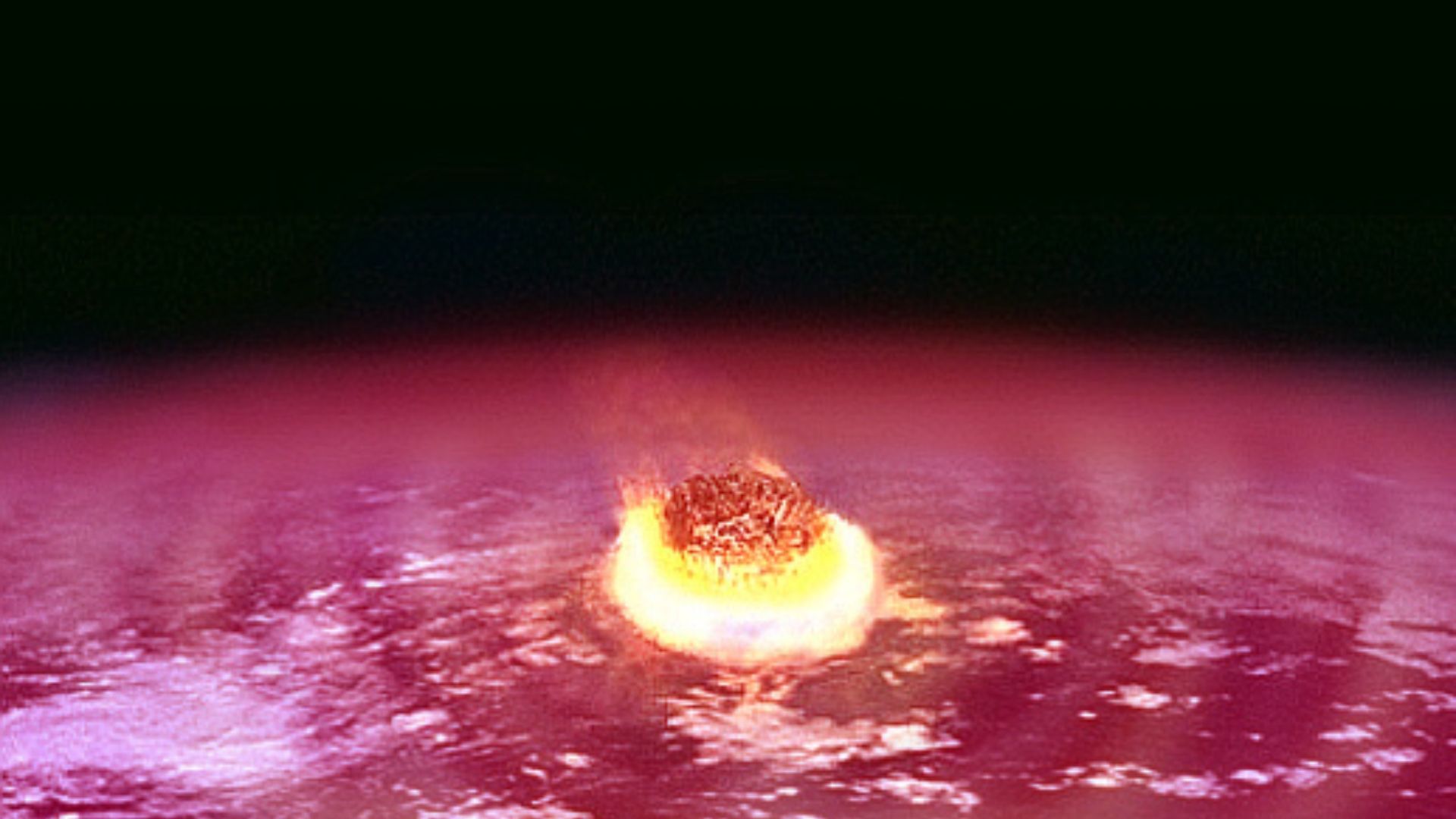
The research also impacts our understanding of asteroid impacts.
It reveals a prevalence of newer craters under 700 million years old, with very few older, suggesting significant geological reconfigurations due to glacial activity.
Where Did All the Rocks Go?
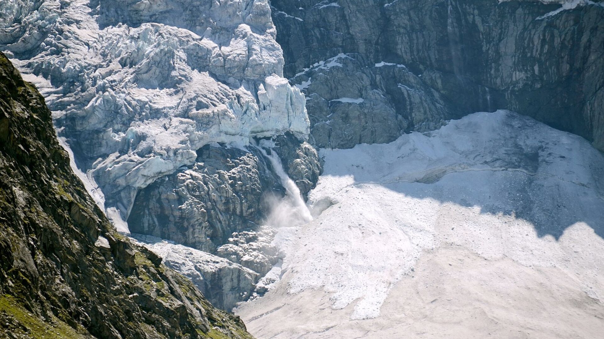
The conclusion drawn by researchers is that glaciers not only eroded but also transported sedimentary rocks to the oceans.
This vast movement reshaped not only the geological records but altered the very architecture of Earth’s continents and seas.
