Meteorologists have their eyes on a fresh disturbance causing disorganized showers and thunderstorms across a vast stretch of the Atlantic.
Observed since last Friday, this system shows signs it could grow as it drifts closer to inhabited areas.
After Debby, the Atlantic Stirs Again
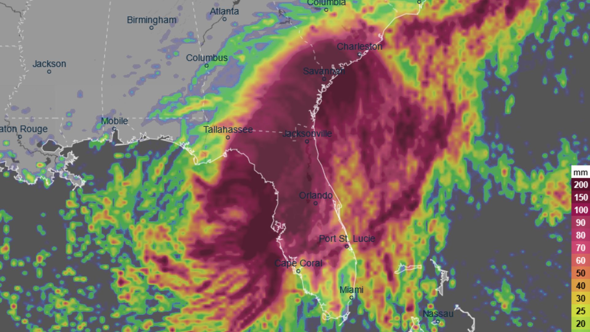
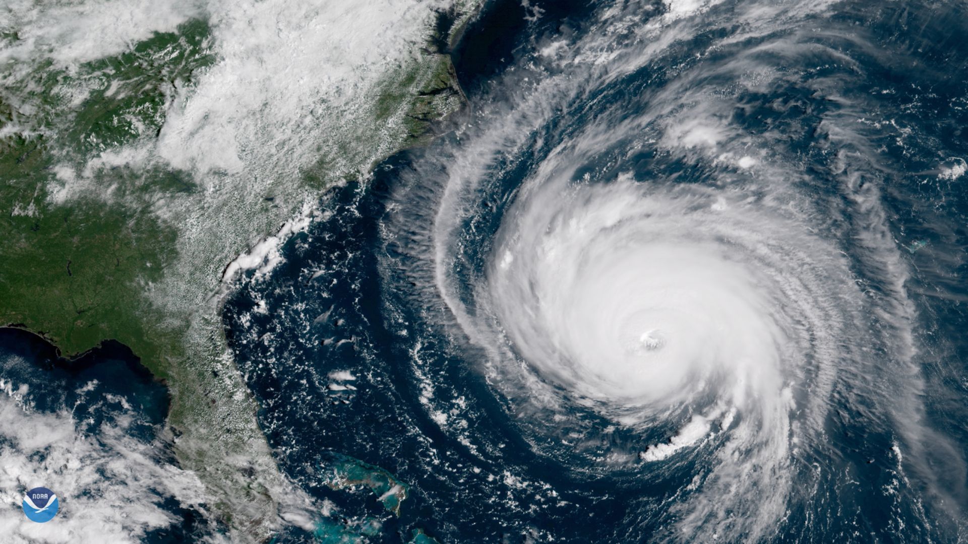
Hurricane Debby is winding down, but the Atlantic isn’t taking a break. Attention has shifted to a new tropical wave.
With a 60% likelihood of becoming a tropical depression by next week as it nears the Lesser Antilles and Caribbean Sea, forecasters are on high alert.
Meet the Potential Ernesto
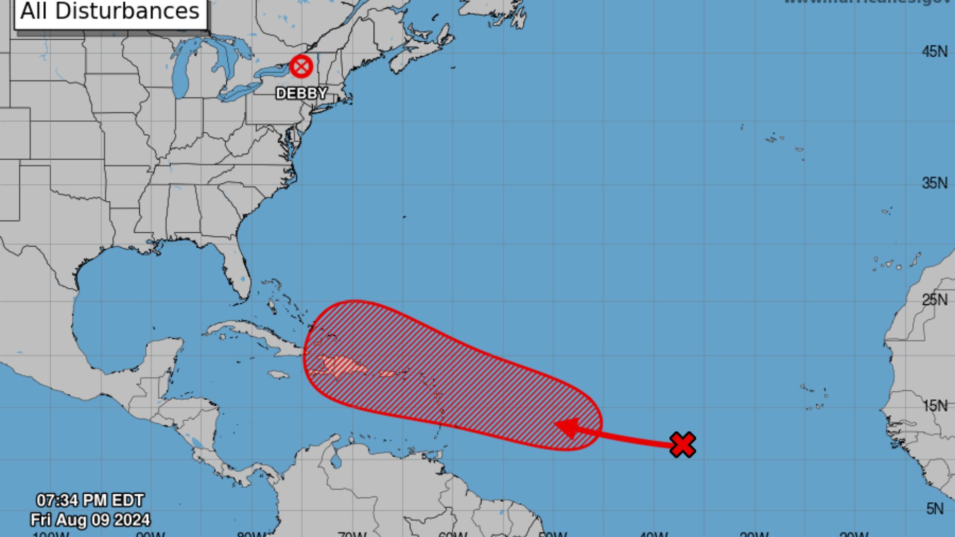
If this brewing system gains enough strength, it will earn the name Ernesto.
This follows the orderly and practical method meteorologists use to name storms, aiding clear communication with the public and emergency services.
Where It All Started
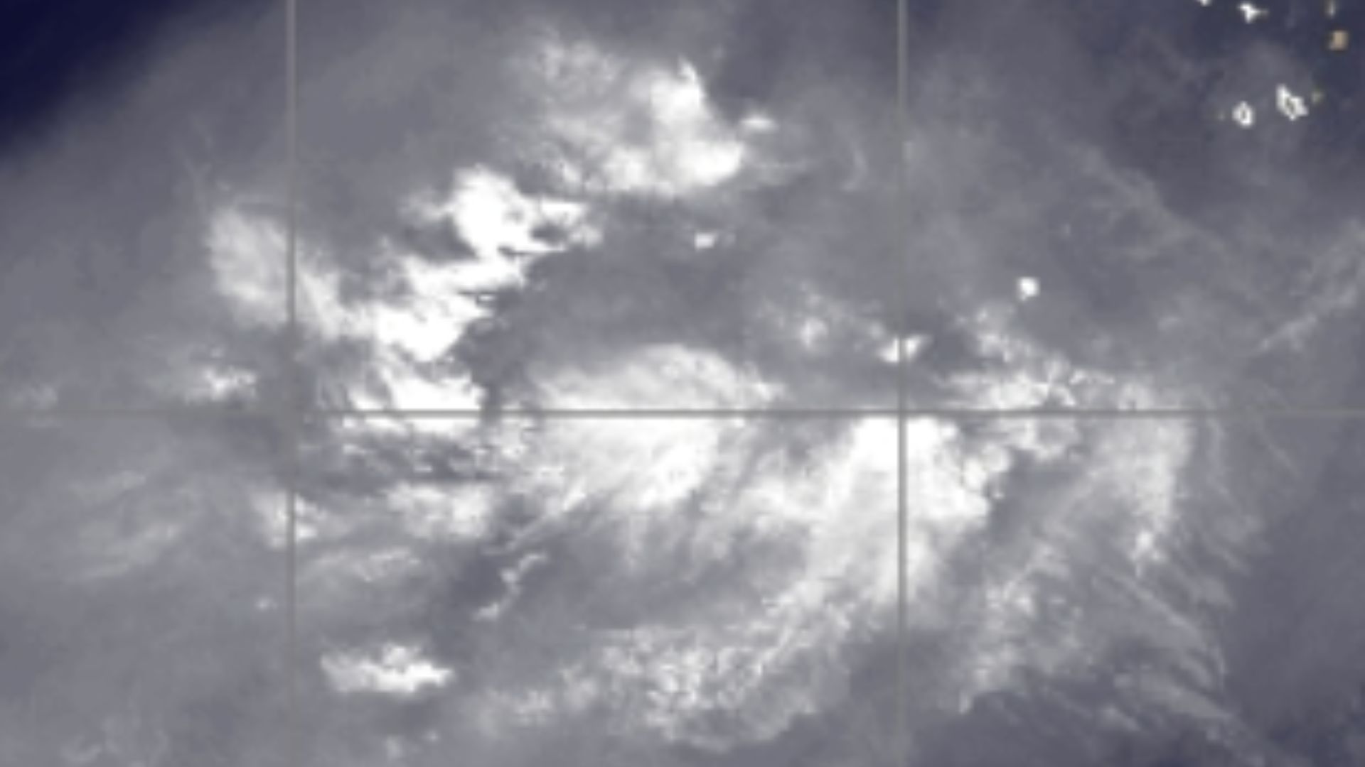
Alyssa Glenny, a meteorologist with AccuWeather, reports, “The tropical feature in question just pushed off the coast of Africa at midweek and was located over the east-central tropical Atlantic on Thursday.”
This tracking helps everyone keep an eye on its progress and potential threat.
A Turning Point This Weekend?
Although currently disorganized, the system could see a change in fortune.
By early next week, as it draws near the Leeward Islands, the conditions are likely to become more favorable for development, according to the National Hurricane Center’s recent update.
Will It Affect the U.S.?
It’s too soon to tell if this new system will hit U.S. shores.
Forecasters are closely monitoring its path and development, remaining cautious about making any early predictions.
A Potential Threat Looming?
AccuWeather’s Alex DaSilva issued a warning.
DaSilva said, “There is a likelihood if this tropical feature survives to the zone near and just north of the Caribbean next week, it will go on to become a tropical storm, and from there, it could be drawn in close enough to the East Coast of the U.S. to be a direct concern.”
Strong Winds on the East Coast

The tropical storm Ernesto has now become a hurricane.
Fortunately, it traveled away from Bermuda, heading further into the Atlantic Ocean. However, this movement still sent powerful winds toward the East Coast. While the hurricane may not directly hit the U.S., the strong gusts are causing problems.
Strong Winds Off Halifax
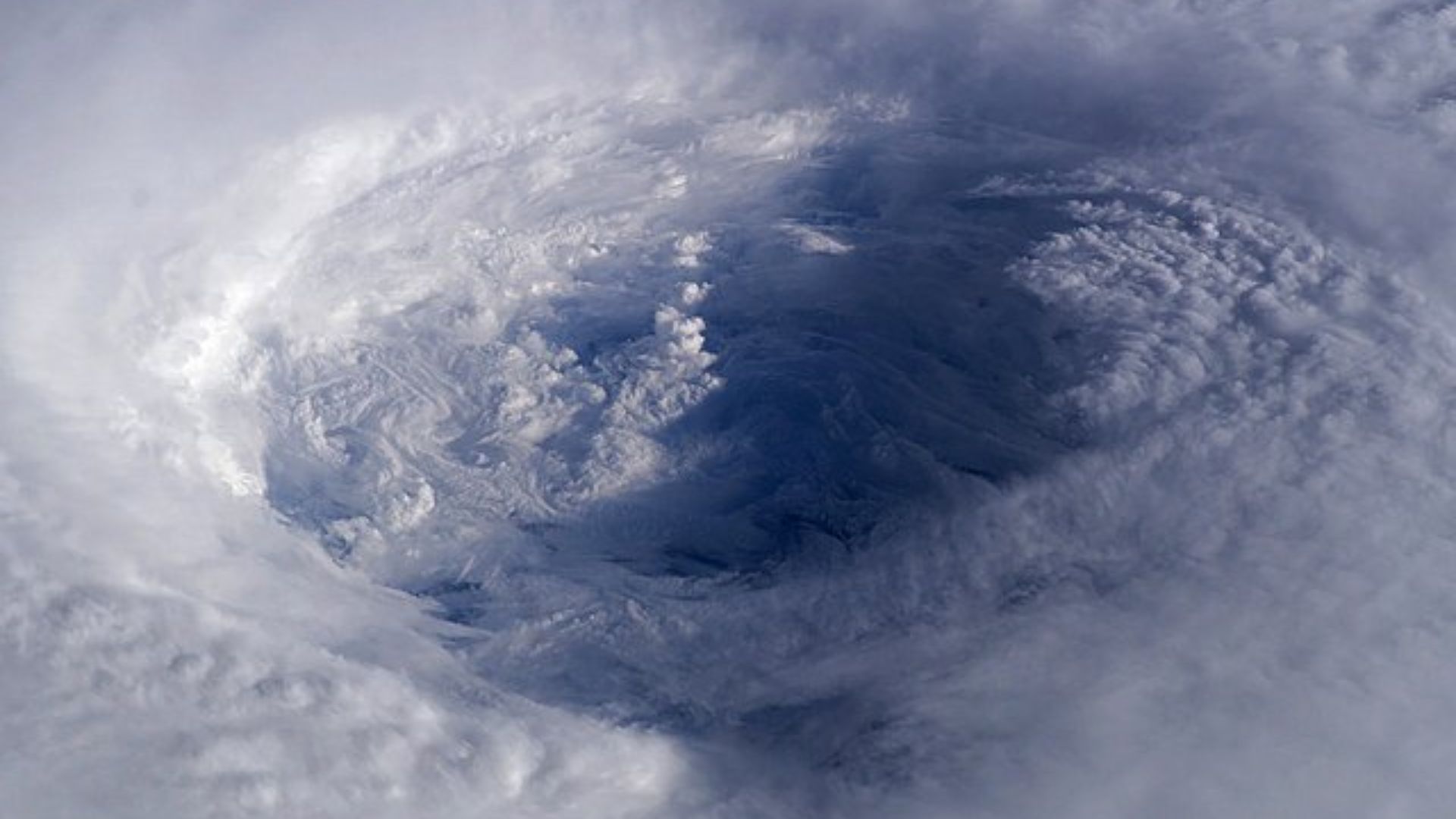
The U.S. National Hurricane Center in Miami said Ernesto’s maximum sustained winds could reach up to 75 miles per hour.
Winds of this speed barely constitute a Category 1 storm. The hurricane center predicted the storm would strengthen and become a tropical storm. The storm was centered about 520 miles south of Halifax, Nova Scotia. The storm was then expected to pass south-eastern Newfoundland.
Dangerous Rip Currents
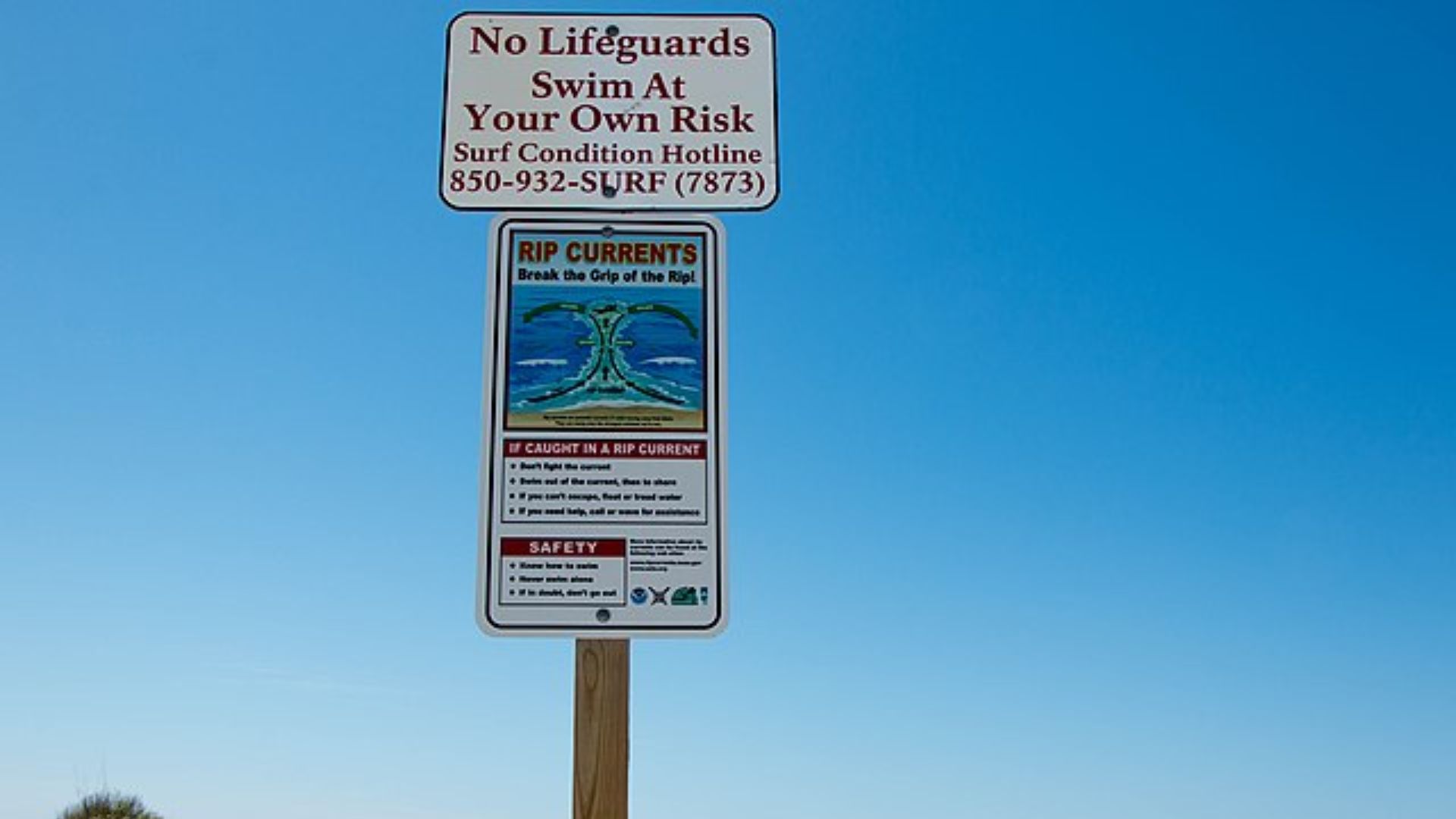
The powerful winds barreling toward the East Coast are generating rip currents in the ocean.
The rip currents caused by Storm Ernesto are already associated with at least one death. Many rescues have also taken place on the coast. These swells affected parts of the Bahamas and Bermuda, the East Coast and the Canadian Atlantic coast.
Bermuda Pulled Through

Only after tearing through Bermuda did Storm Ernesto shrink to a storm rather than a hurricane.
At a press conference, Bermuda’s security minister, Michael Weeks, said the island made it through the hurricane without any injuries or major incidents. “I want to express my gratitude to everyone for taking this storm seriously,” Weeks said.
Stay Watchful, Stay Prepared
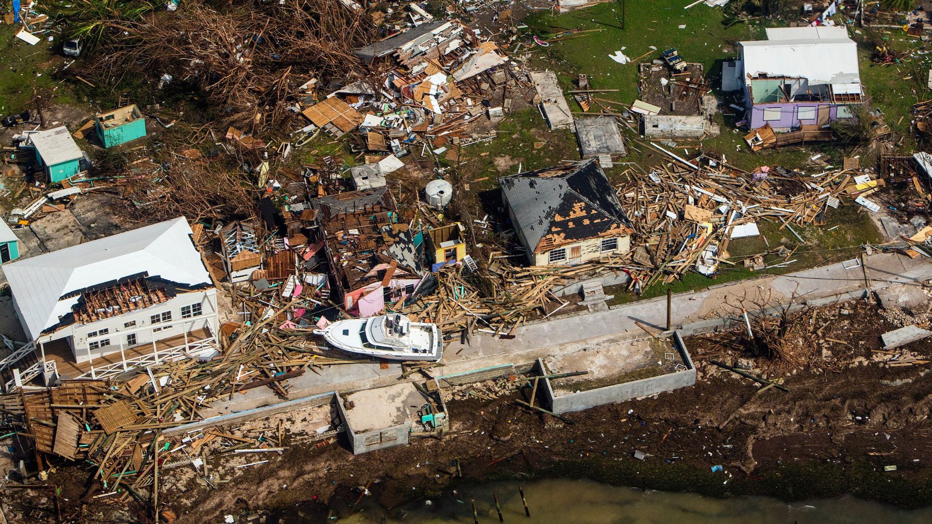
As forecasters gear up for what they’re calling an unusually busy hurricane season, the message is clear: stay sharp and be prepared for anything.
Keeping an eye on the latest updates is more than just good advice—it’s essential for navigating the storms on the horizon.
The Dangers of Rip Currents
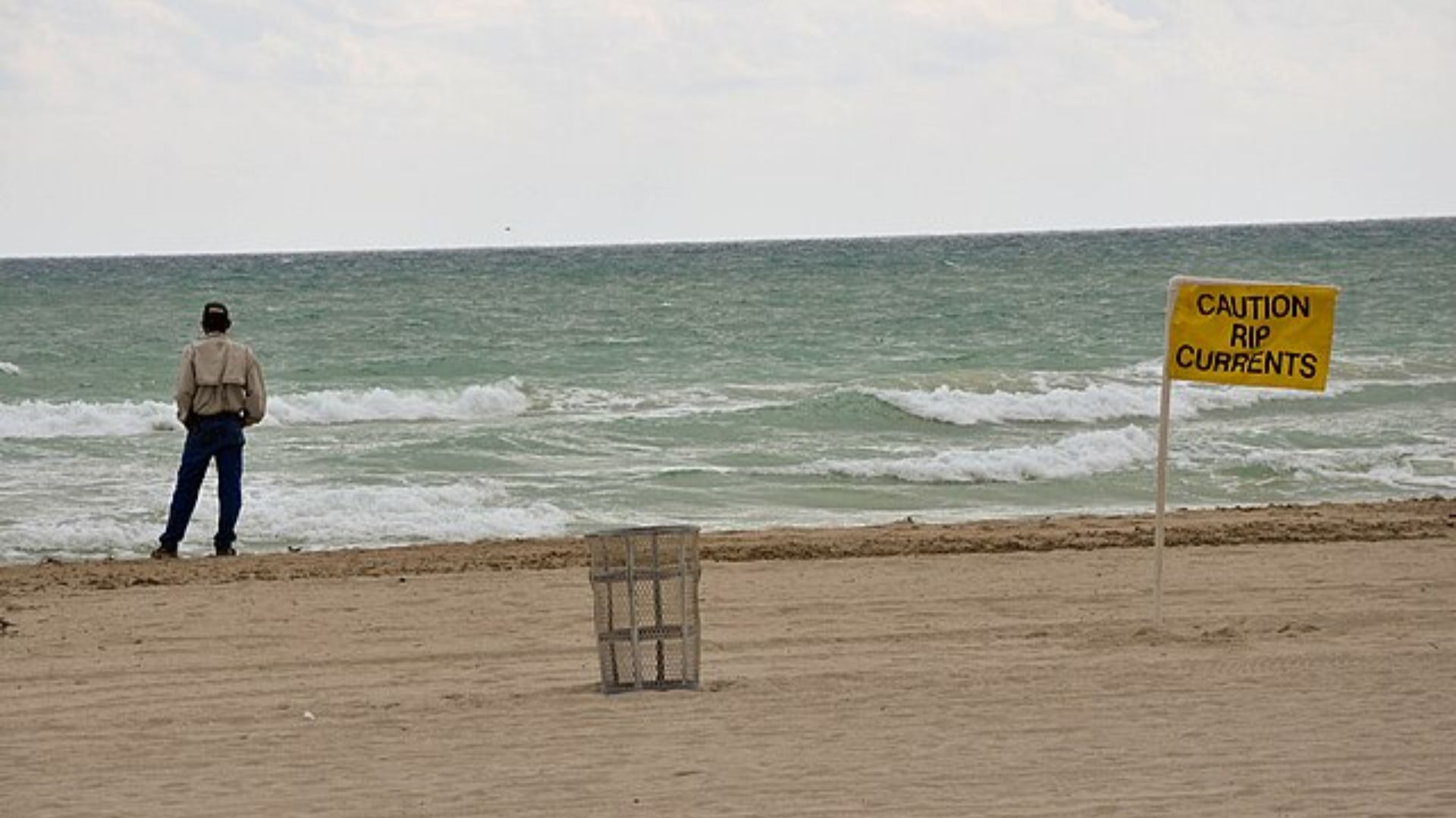
The U.S. National Weather Service posted an advisory, warning of a high risk of rip currents throughout the East Coast.
The warning spread from Florida to the Boston area and parts of Maine. The advisory said rip currents “can sweep even the best swimmers away from shore into deeper water.” Meteorologist, Mike Lee, said that during storms like these, rip currents become more likely and more frequent. These currents are a threat to all swimmers, not just beginners.
A Dangerous Period
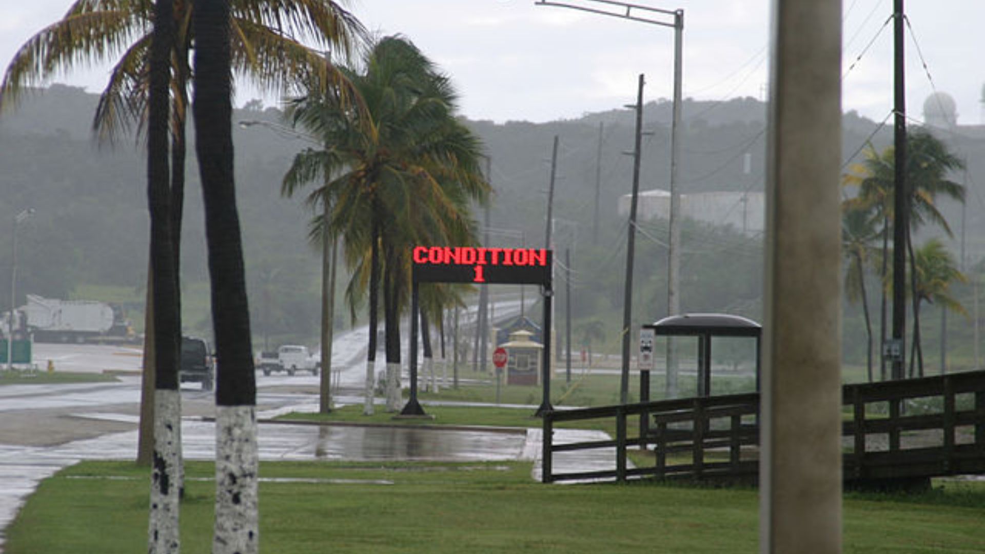
Meteorologists warned the public that August 19 would be the most dangerous day because of the gusts caused by Storm Ernesto.
“It’s going to be really dangerous out in the water today,” Lee said. Officials in North Carolina urged residents to avoid beaches in parts of the village of Rodanthe. The storm caused damage to several beachfront structures and debris cleanup has been taking place over the following days.
An Active Season Ahead
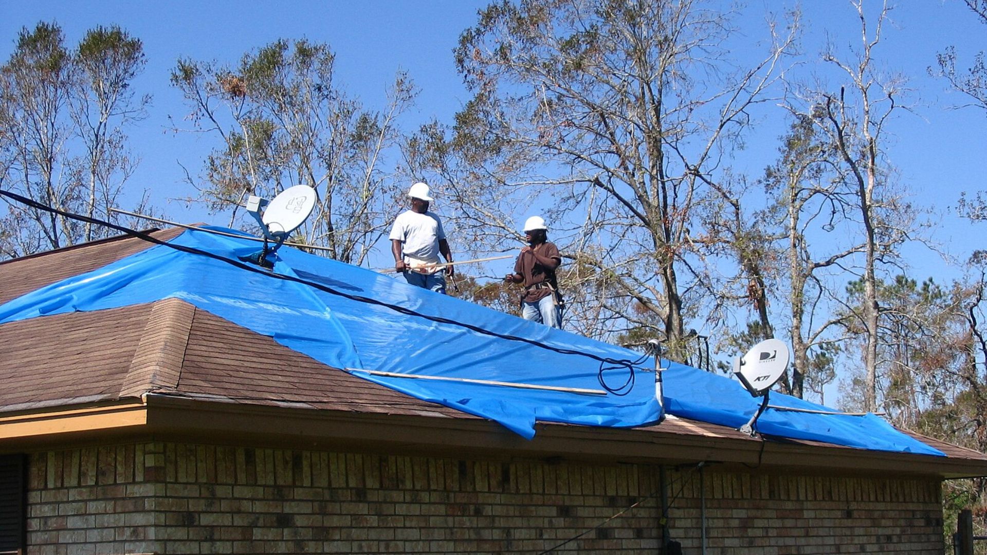
Expect a bustling hurricane season this year.
Forecasters predict as many as 24 named storms, signaling a busy period ahead for storm trackers and coastal residents alike.
NOAA’s Latest Forecast Update
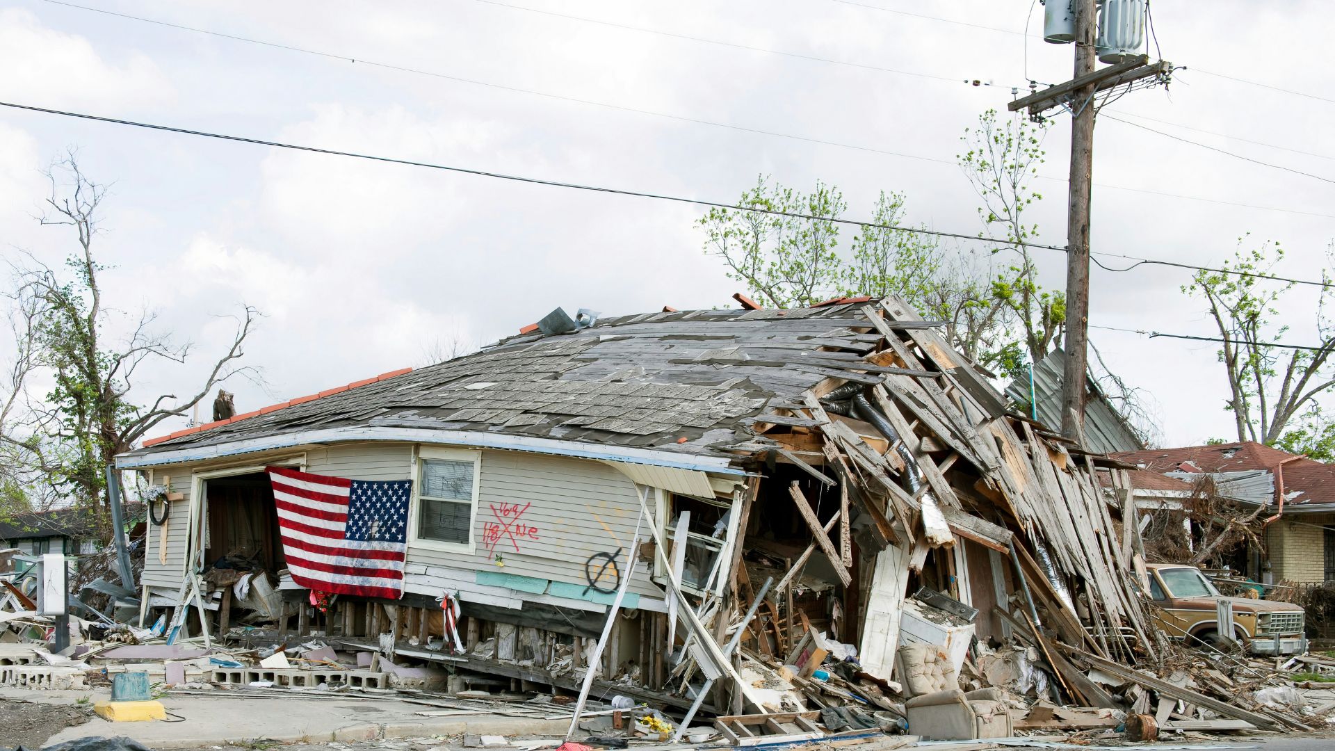
NOAA’s updated outlook for the 2024 season projects it to be among the busiest on record.
The likelihood of an above-normal season is now at 90%, despite a slight reduction in the total number of expected storms.
Three Men Have Drowned
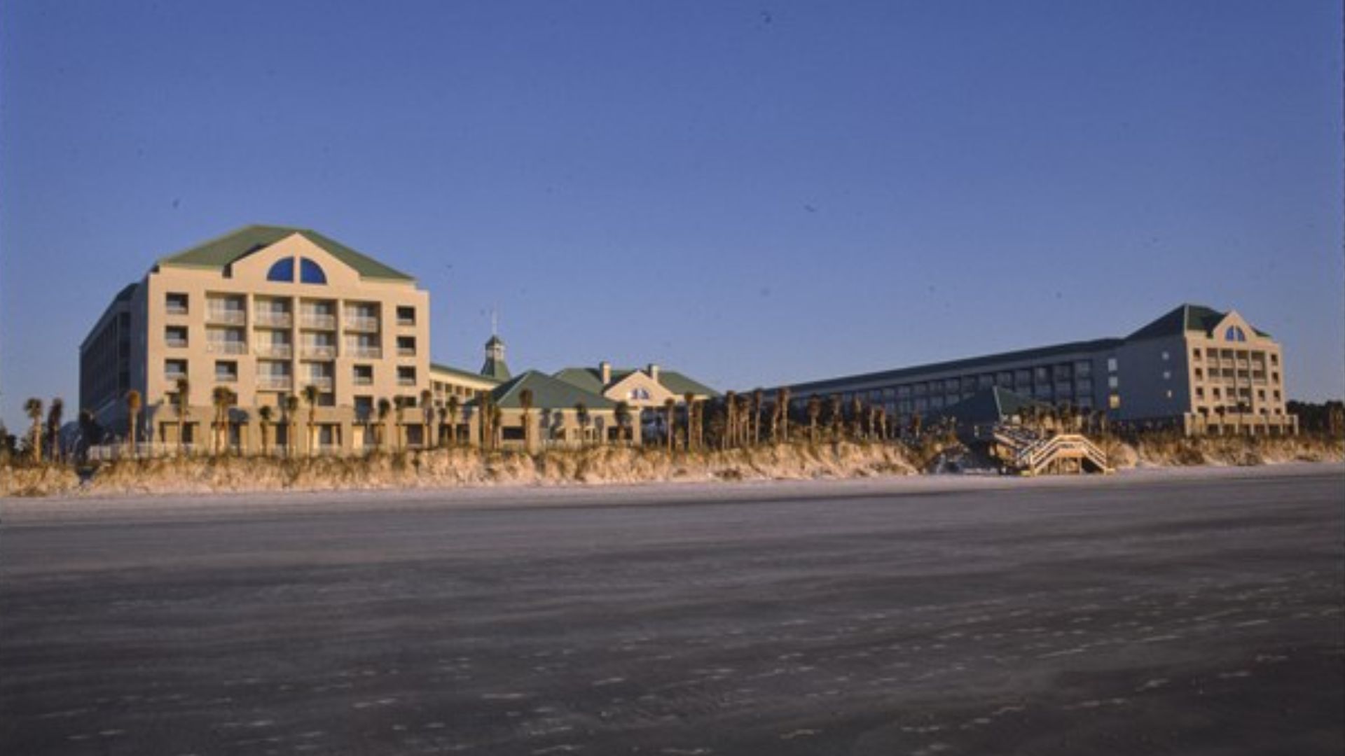
Unfortunately, the strong currents have claimed the lives of three men over the last few days.
A 41-year-old man drowned on Saturday in a rip current at Surf City, North Carolina. Another two men drowned on Hilton Head Island, South Carolina. However, it was unclear whether their deaths were a direct result of Storm Ernesto.
Multiple Rescues
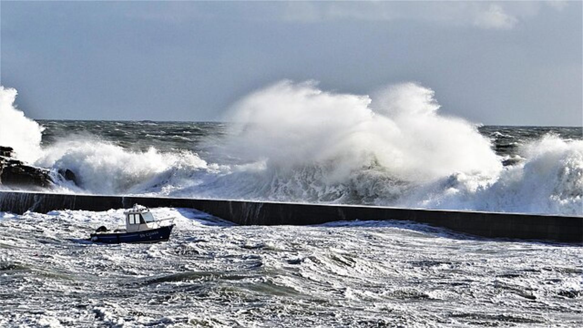
In New Jersey, officials said a fisher was washing off the north jetty at Manasquan Inlet.
Lifeguards rescued the victim but they had already sustained knee and back injuries. The victim was taken to a hospital. Lifeguards also rescued at least five other people from the ocean after being swept away.
Property Damage

The winds from Storm Ernesto have also damaged some property on the East Coast.
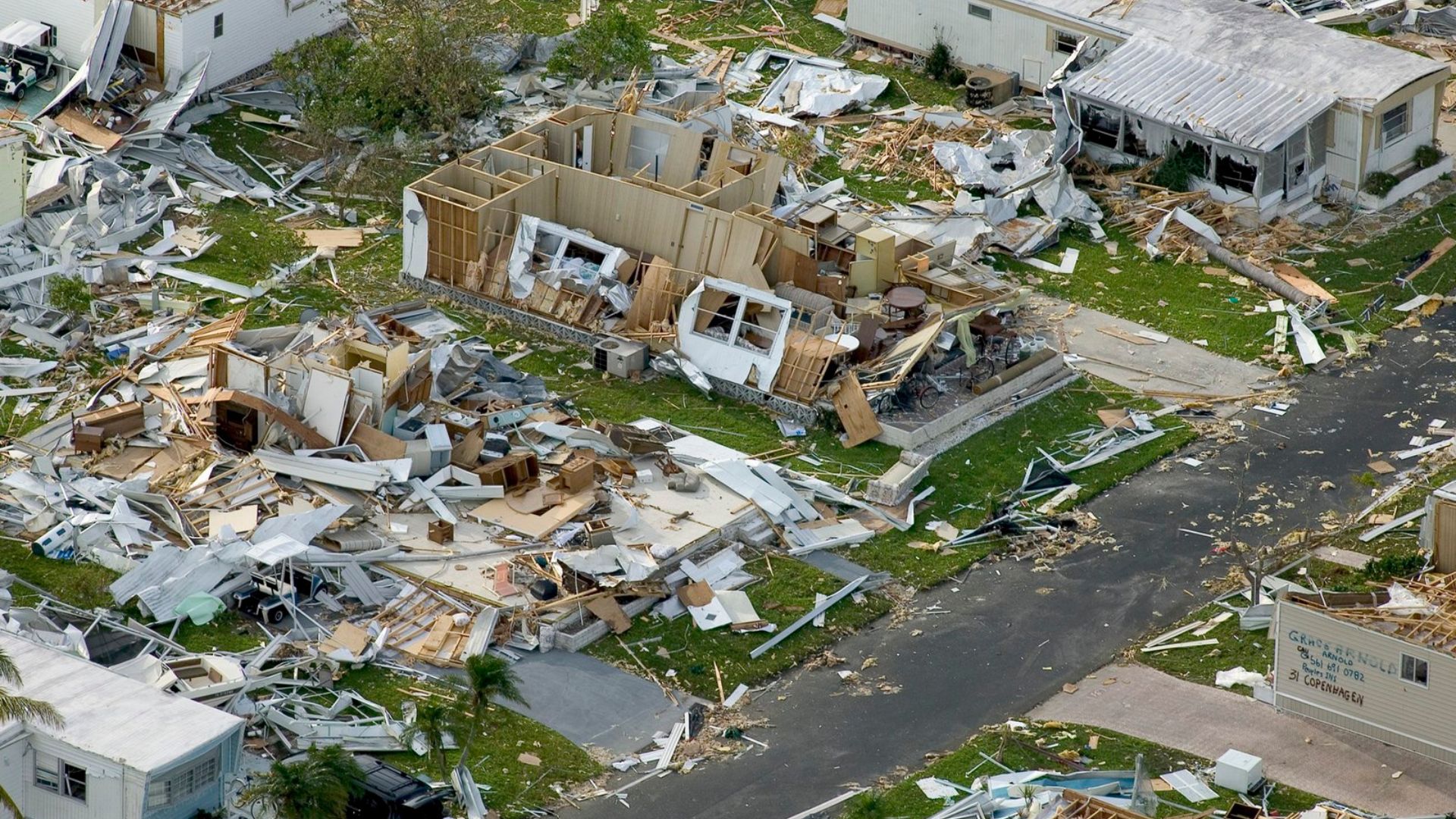
The strong gusts caused an unoccupied beach house along the Cape Hatteras seashore in North Carolina to collapse into the water. Officials have warned the public to steer clear of beaches.
The Time to Prepare Is Now

With names like Alberto, Beryl, Chris and Debby already marked off this year’s list, it’s clear this season won’t be mild.
Residents in storm-prone zones should not delay in updating their emergency plans and supplies.
Heavy Flooding
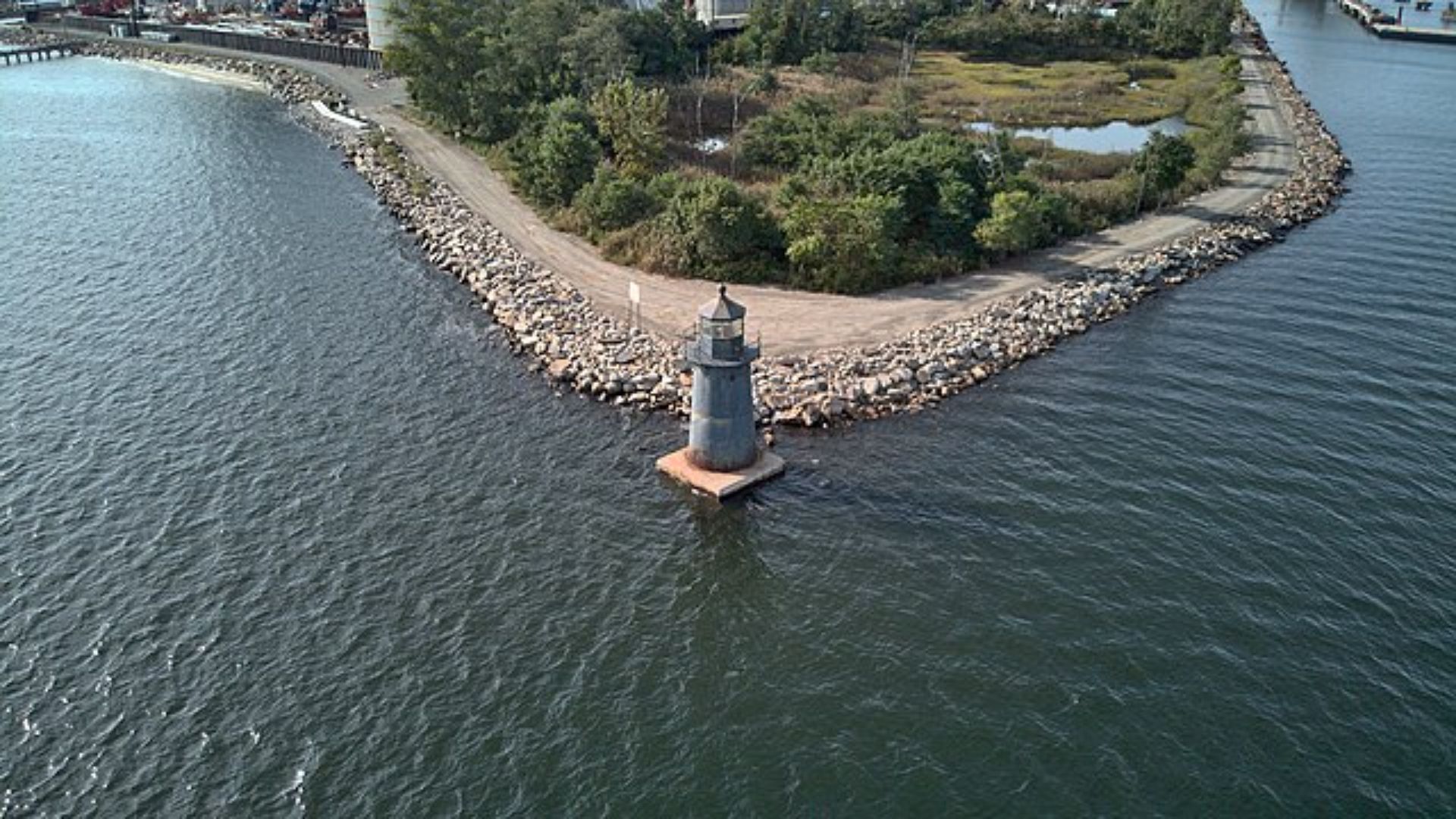
While the East Coast may have been spared from the damage inflicted by Storm Debby a second time, severe weather is still a concern in some states.
Unrelated heavy rains have caused flooding in western Connecticut. The floods have caused roads to close, and water rescuers have had to attend to a minor mudslide.
Rescue Operations

The floodwater swept two people into the Little River in Oxford, Connecticut.
Local news station WTNH reported that one had been found dead earlier this week while the other remained missing. Scott Pelletier, Oxford’s fire chief, said officials could not reach the area in time because of high waters and the need to respond to other emergencies. Videos on social media show the flooding taking over the town, including a small building being washed downstream.
Key Safety Actions
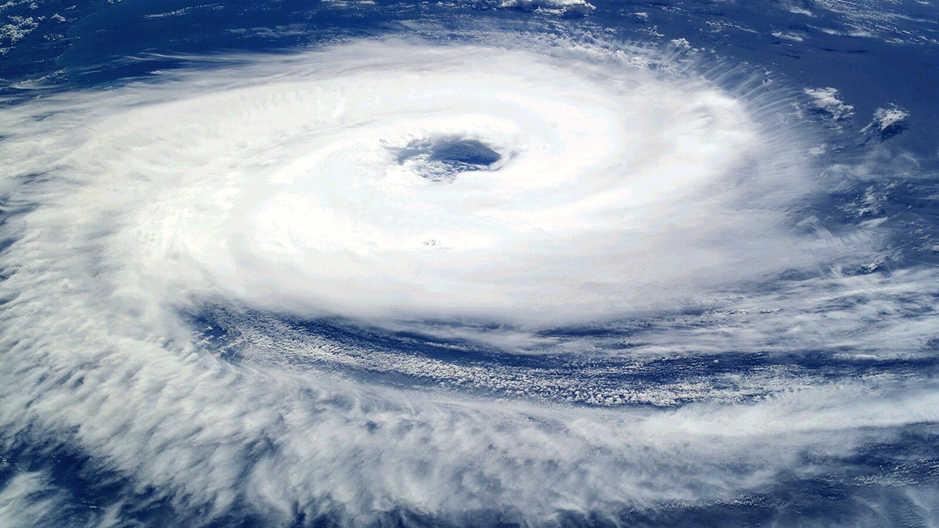
As developments unfold with the new tropical wave, keeping up with the latest forecasts and advisories is crucial.
Effective preparation and vigilant monitoring are key defenses against the potential dangers of a highly active hurricane season.
Remnants of Storm Still Approaching
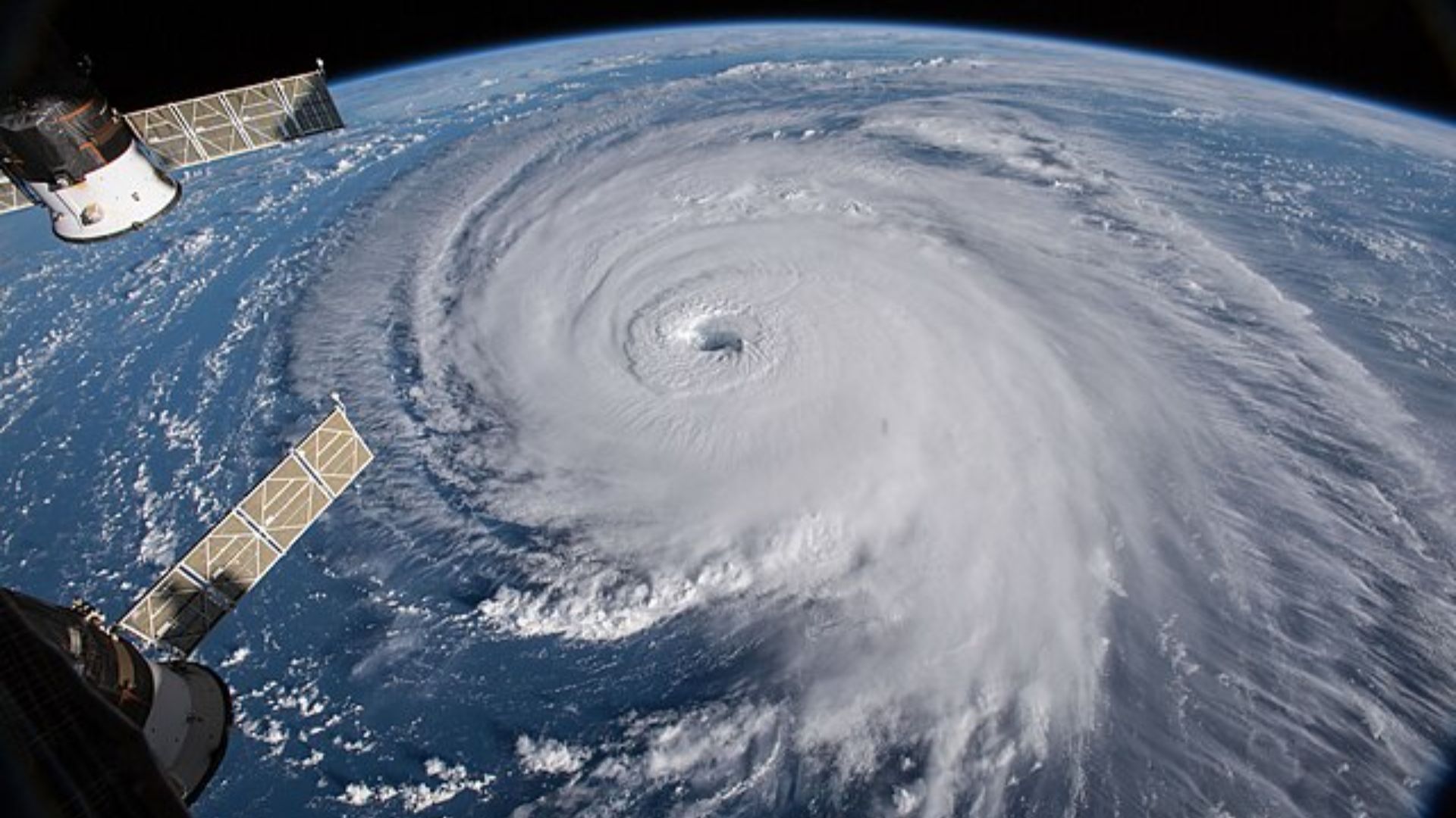
The storm is now over 200 miles away from the East Coast.
Storm Ernesto is now barreling toward the United Kingdom and Ireland. However, Americans should still be vigilant. Rip currents can occur in the States because of distant storms. In the U.S., more than a dozen high surf and rip current deaths over the last five years have been caused by hurricanes that were well off the East Coast, according to meteorologist Jonathan Belles. Americans should remain vigilant until Storm Ernesto subsides.

