
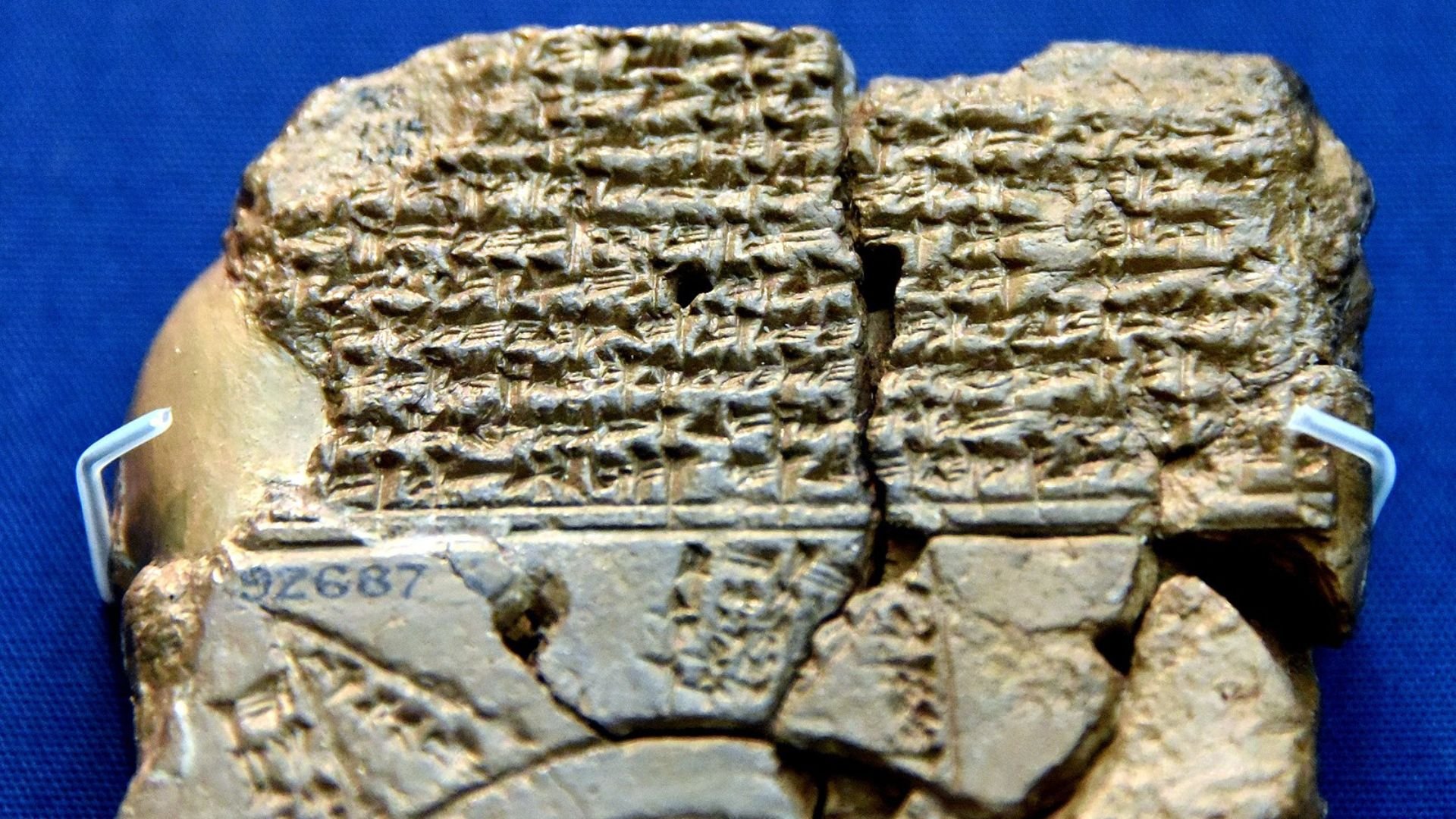
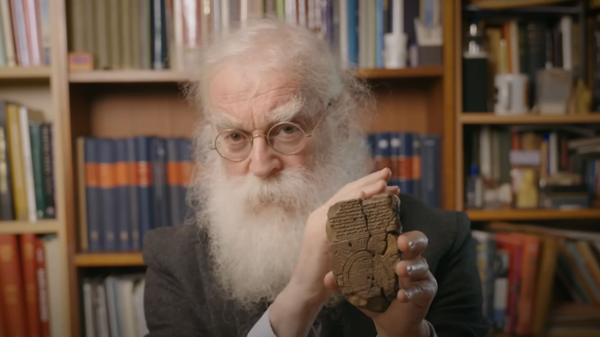
Researchers have successfully decoded what is considered the oldest map of the world, the Imago Mundi.
This Babylonian tablet, created between 2,600 and 2,900 years ago, offers a unique glimpse into the beliefs and practices of an ancient civilization, revealing how they conceptualized their world and its creation.
Cuneiform: The Language
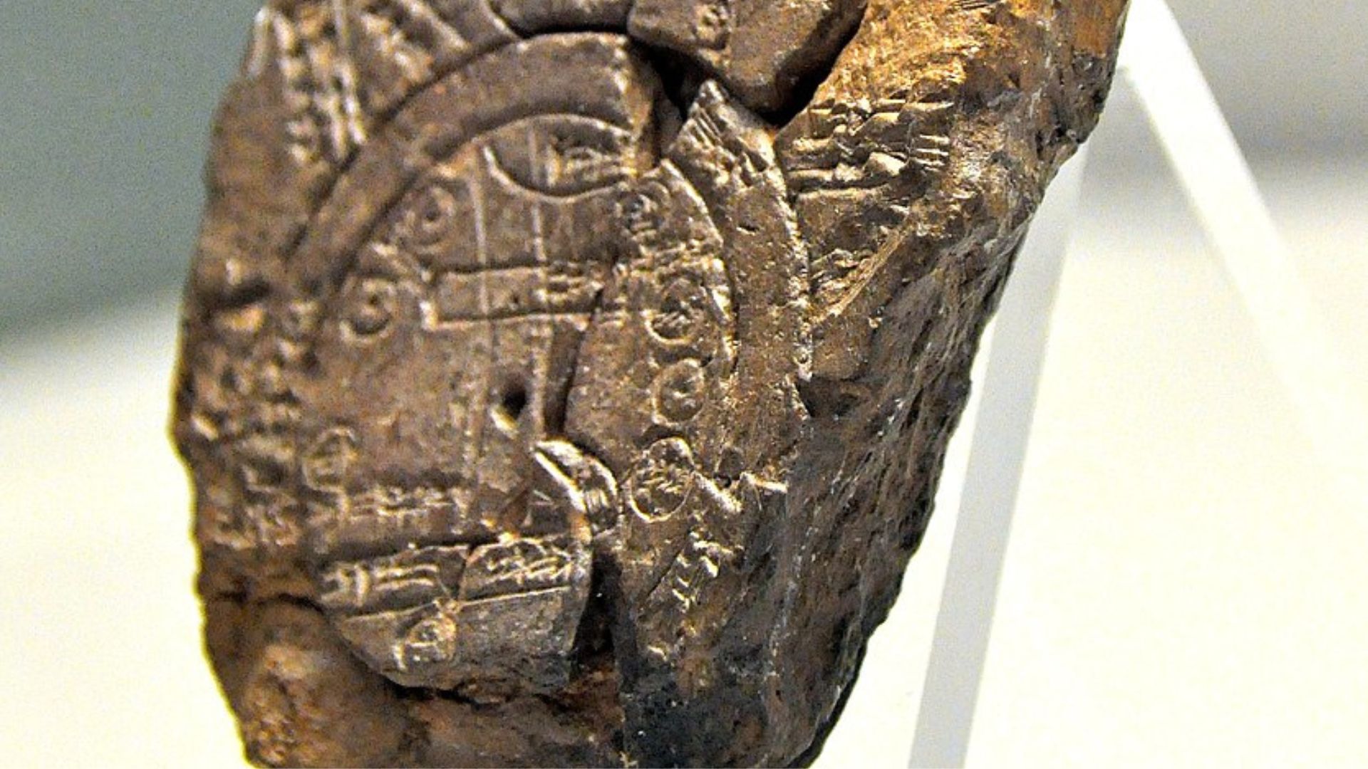
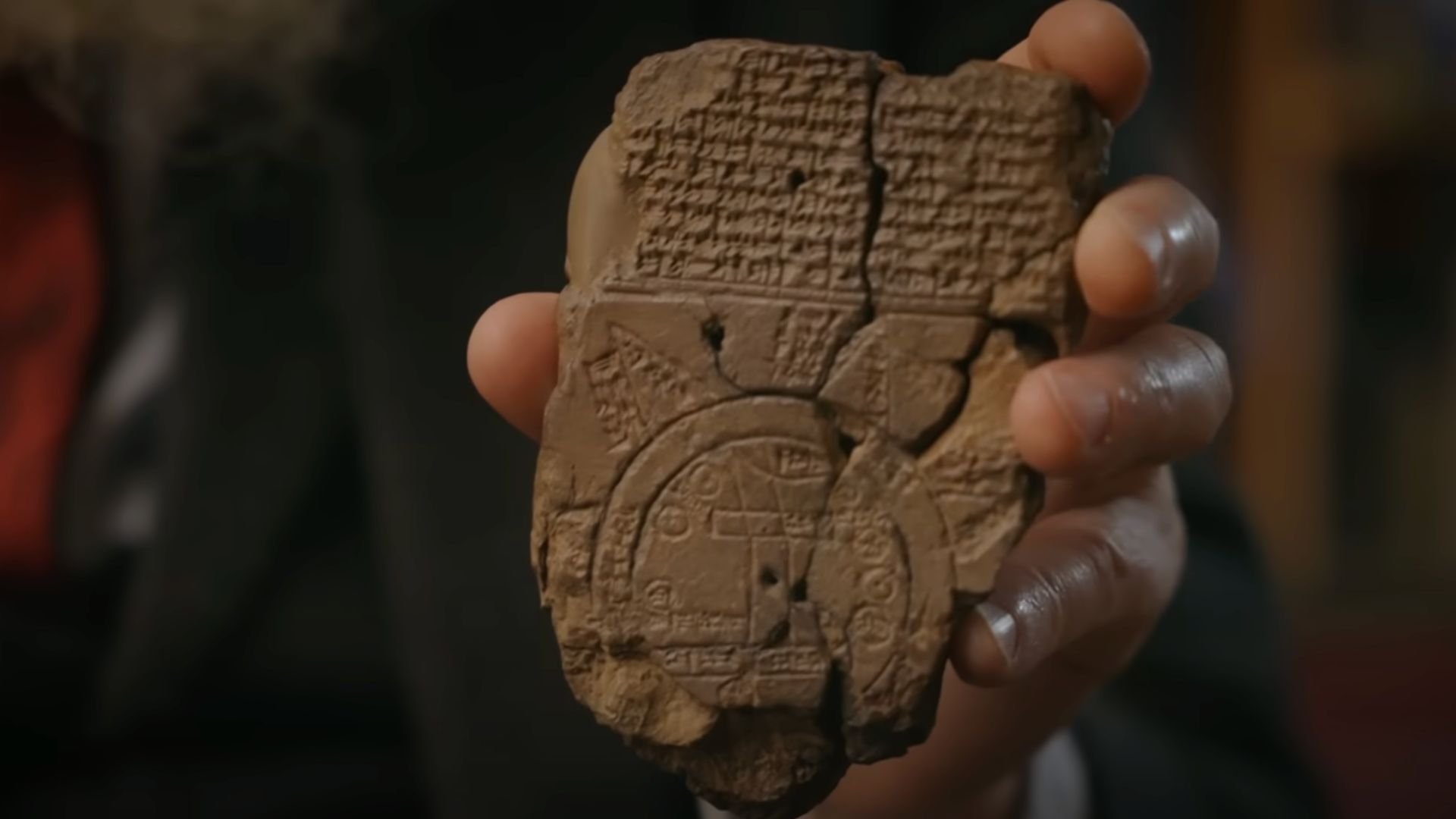
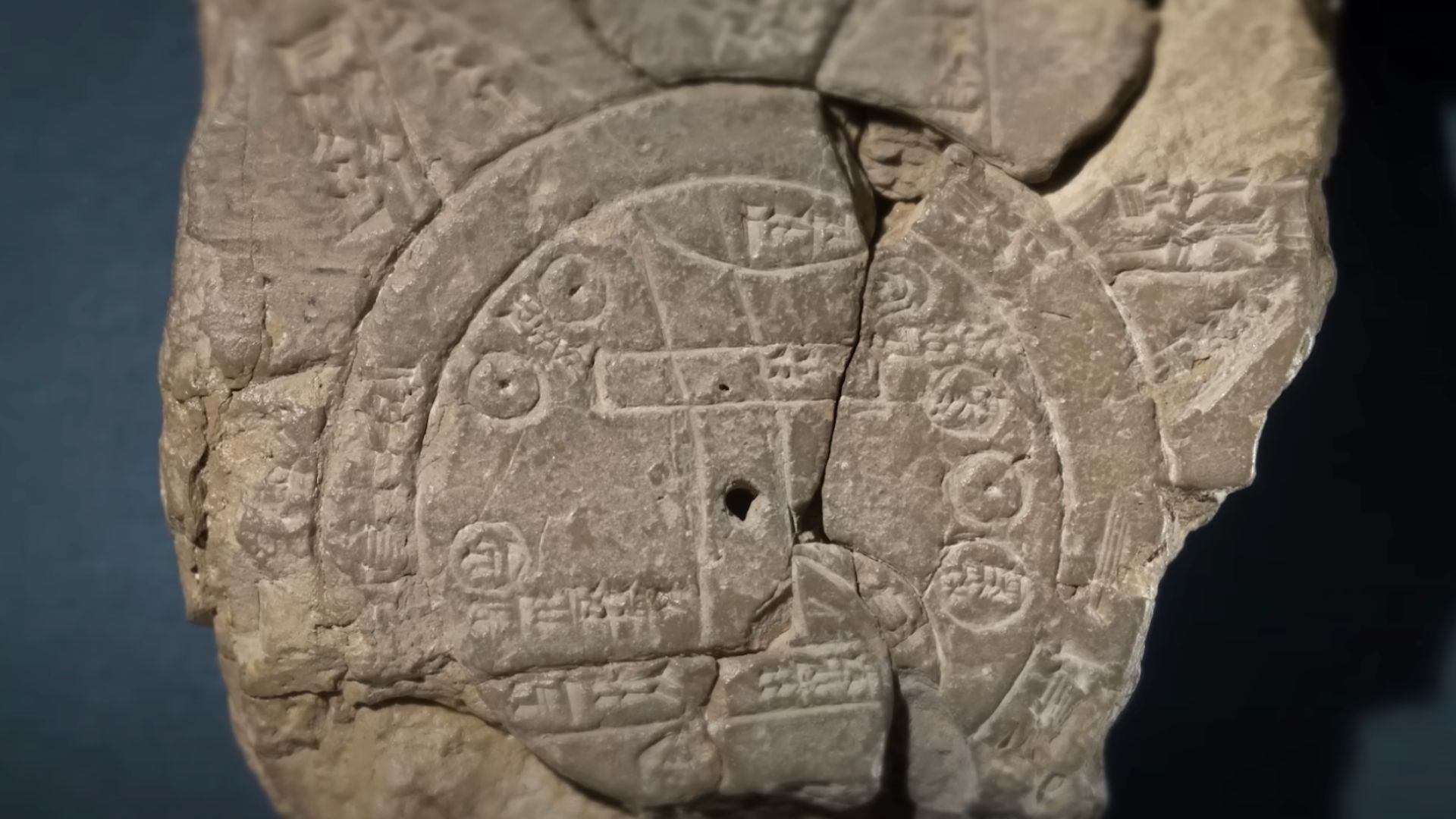
The circular Babylonian map is written in cuneiform, an ancient wedge-shaped script. It contains detailed descriptions of the early creation of the world.
This decipherment provides significant insights into how people of that era visualized the structure of their surroundings and the universe.
Mythical Beings and Divine Guardians
This ancient tablet not only maps out regions but also cultural beliefs, featuring depictions of the God of Creation, Marduk, and mythical beings like the scorpion-man and Anzu, a lion-headed bird.
These figures illustrate the mythological and religious context in which the map was created.
An Empire of Innovators
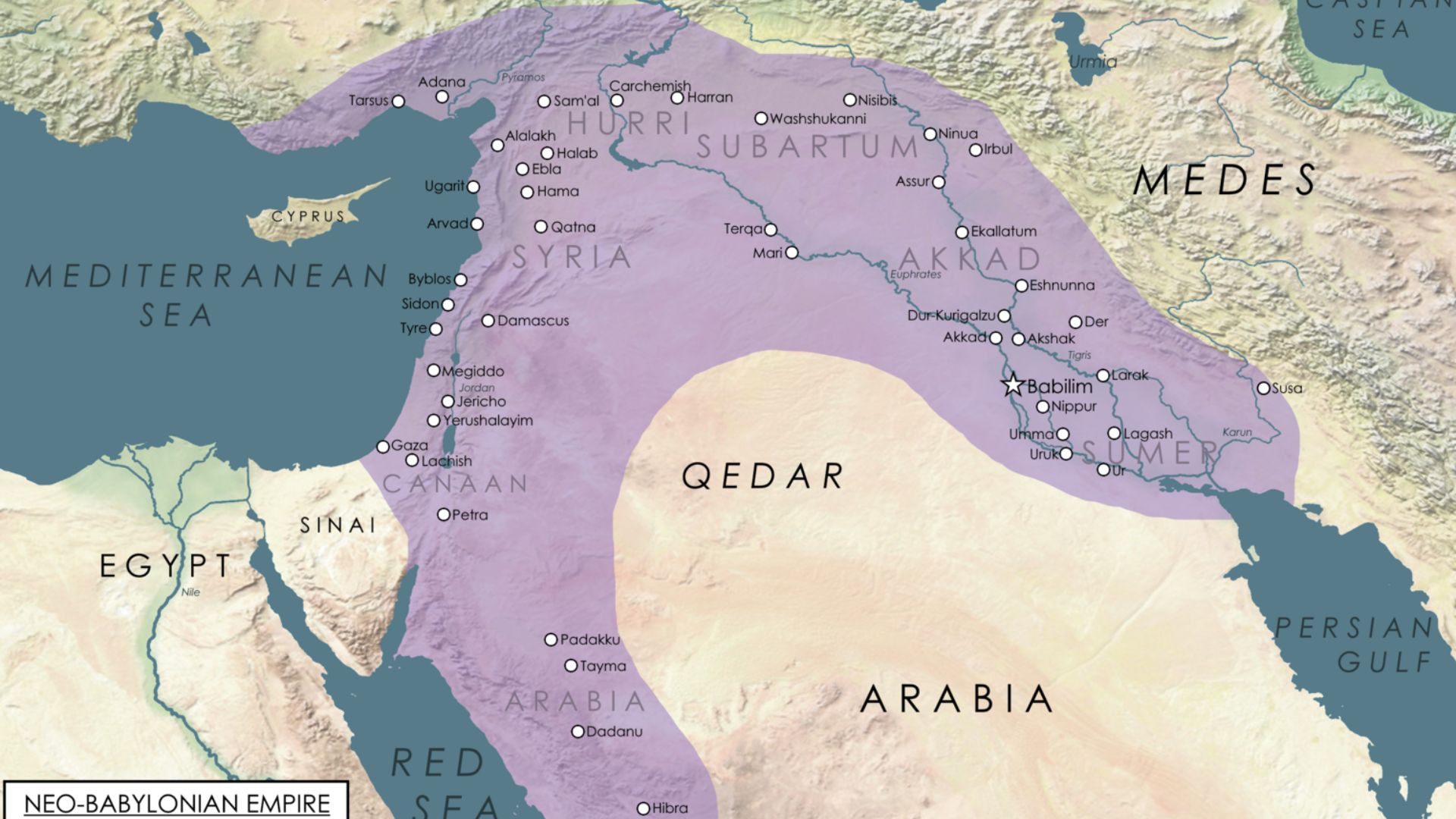
During the period when the Imago Mundi was created, the Babylonian Empire was leading in various fields including architecture, culture, and early scientific achievements.
They had developed an advanced number system and were pioneers in the use of geometry to track planetary movements.
Rediscovery of a Forgotten Artifact
The map was originally discovered in 1882 by Hormuzd Rassam in Sippar, an ancient Babylonian city in present-day Iraq.
Despite its discovery, the Imago Mundi was not fully examined until it resurfaced among other excavation findings 29 years ago.
From Dust to Display: The British Museum

After its rediscovery, the Imago Mundi found a new home at the British Museum in London.
Here, it has become a key exhibit, enabling scholars to further explore and understand the Neo-Babylonian Empire’s worldview and its expansive reach.
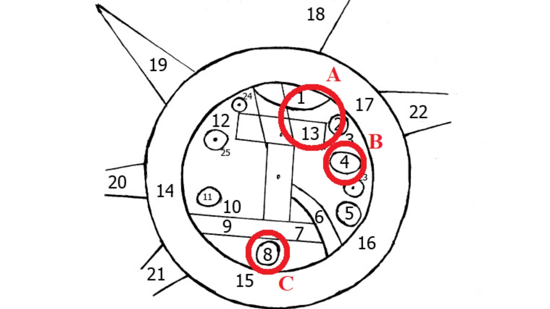
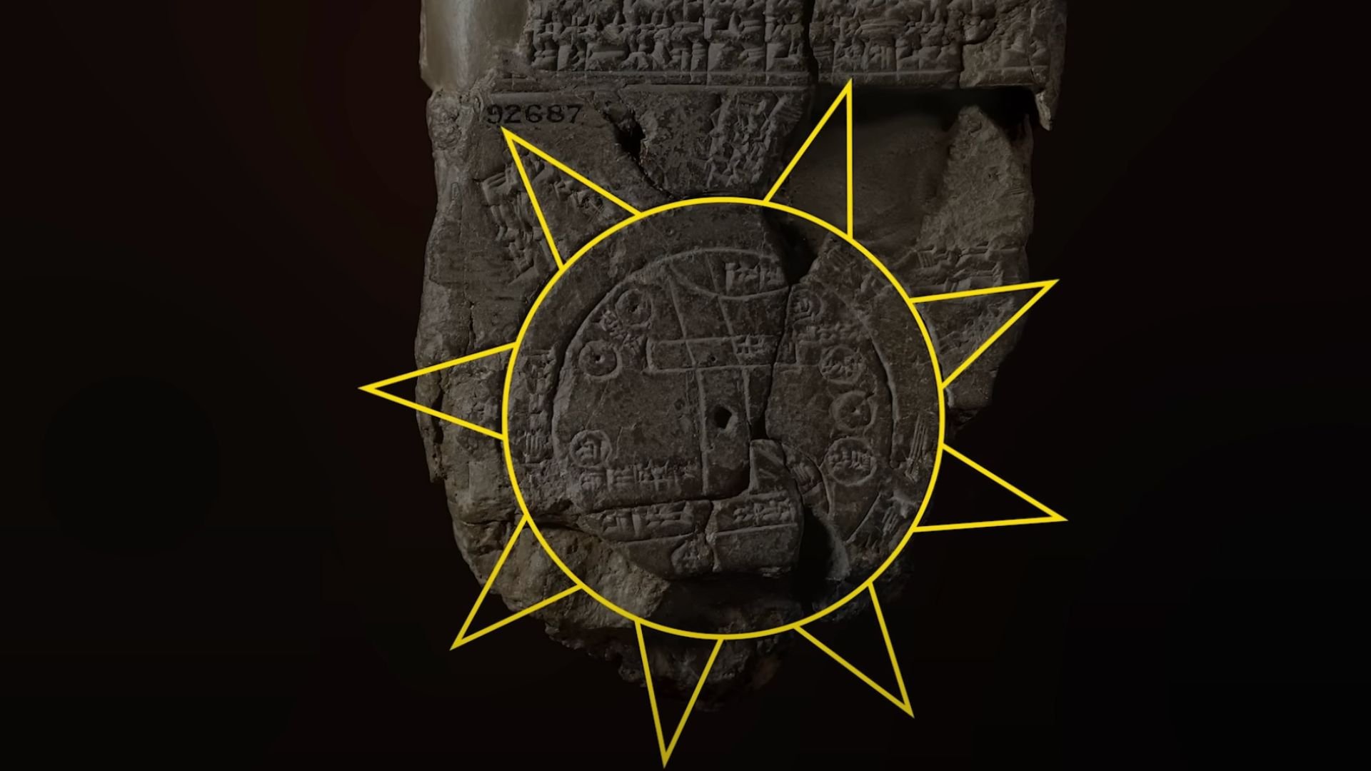
The Geographical Heart of the Map
The center of the Imago Mundi features Mesopotamia, marked distinctly by two encircling rings.
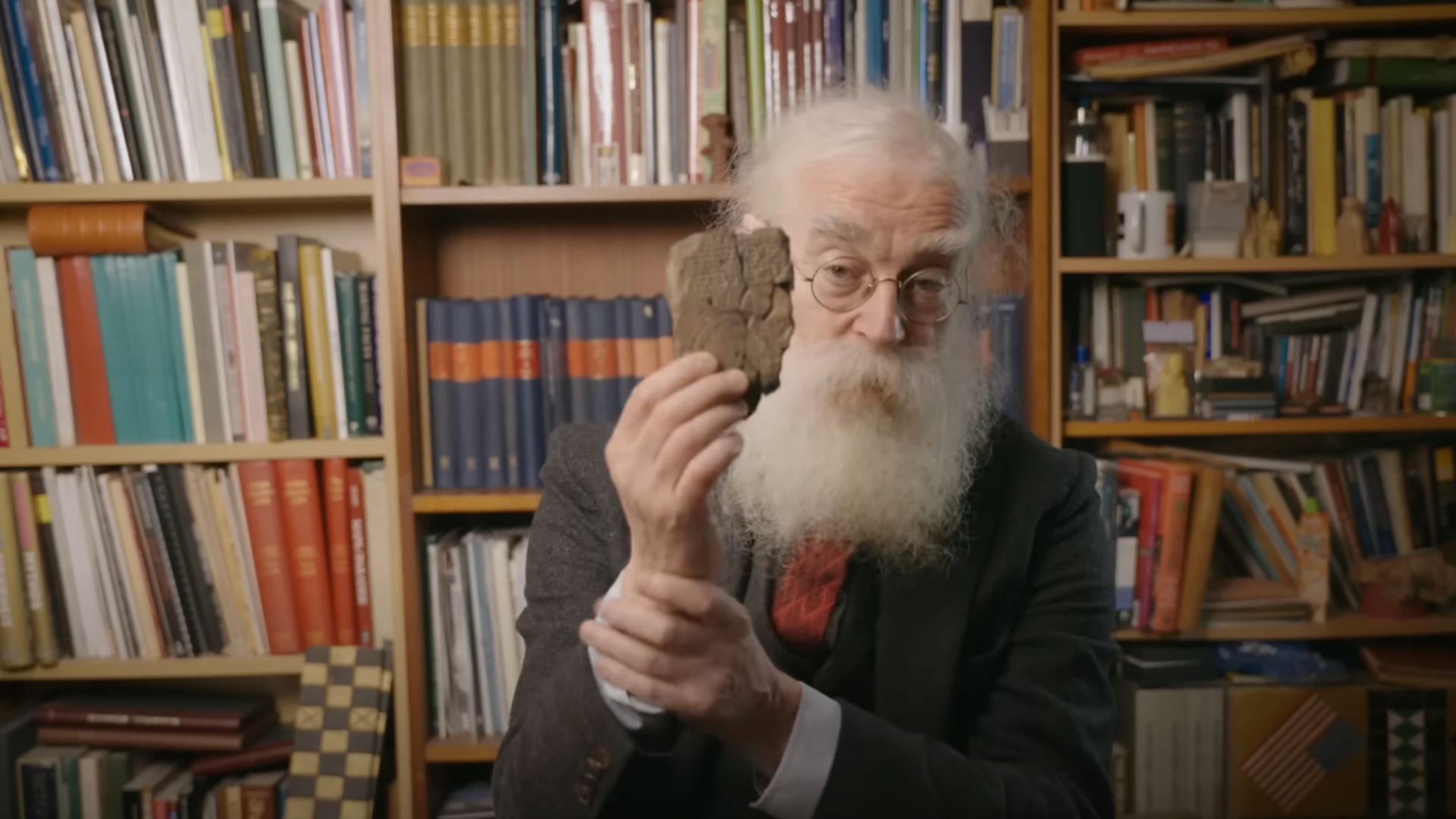
The British Museum expert Dr. Irving Finkel explains, “The double ring is very important because it has cuneiform writing in it which says ‘bitter river’ and this water was deemed to surround the known world,” as noted in a YouTube video by the museum.
The Euphrates’ Significant Role
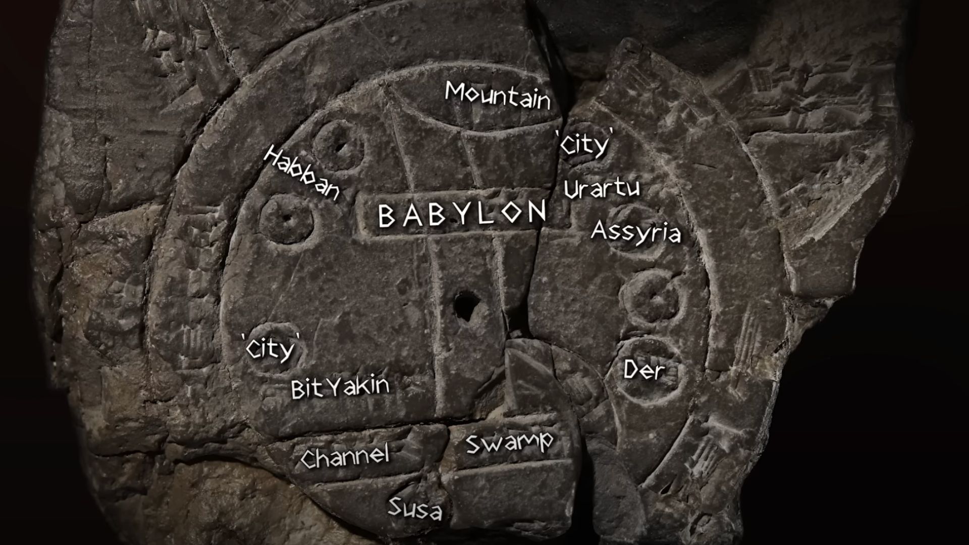
The map includes the Euphrates River, a vital waterway that cut through Mesopotamia from north to south, connecting to the so-called ‘Bitter River’.
This depiction emphasizes the importance of the river to the region’s geography and culture.
Inscriptions of Cities and Tribes
The Imago Mundi is detailed with cuneiform inscriptions stating the names of different cities and tribes, including Assyria, Der, and Urartu.
These inscriptions provide a comprehensive view of the political and geographical landscape during the time the map was created.
Uncharted Territories and Mystical Lands
On the map, triangles thought to represent mountains or magical islands are positioned off to the right edge.
Dr. Finkel commented, “They’re ‘almost certainly mountains,'” suggesting these geographical features were considered remote lands beyond the known world.
A Tapestry of Mythical Creatures
The cuneiform text on the map describes various mythical creatures believed to inhabit these regions, including a winged horse, a sea serpent, a scorpion-man, and a bull-man.
The text appears to be a detailed account of the inhabitants—divine, human, animal, or monstrous—of the areas beyond the earth, as reported by the British Museum.
The Legacy of the Imago Mundi
The fragmented condition of the Imago Mundi has not prevented it from offering a window into the ancient world.
Dr. Irving Finkel said, “It’s a triumphant demonstration of what happens when you have a very small, totally uninformative and useless fragment of dead boring writing that no one can understand and you join it onto something in the collection which is much bigger and a whole new adventure begins all over again.”