Ancient humans thrived on a large landmass that connected Britain to the rest of Europe thousands of years ago which is supported by a recent discovery.
One of the largest prehistoric settlements in Europe is thought to have existed in this ancient region, known as Doggerland.
Magnetic Fields
Utilizing technology based on magnetic fields, archaeologists were able to search vast swaths of the North Sea’s ocean floor for traces of this lost civilization.
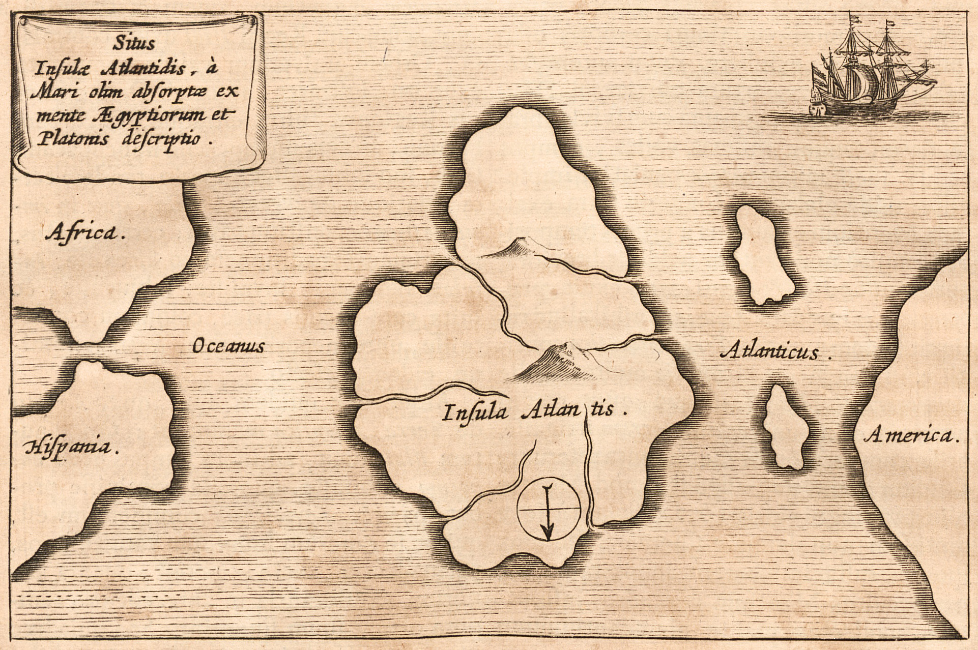
One civilization of legend is Atlantis, a highly advanced civilization described by the Greek philosopher Plato, which is thought to have been submerged beneath the Atlantic Ocean thousands of years ago.
Submerged Cities
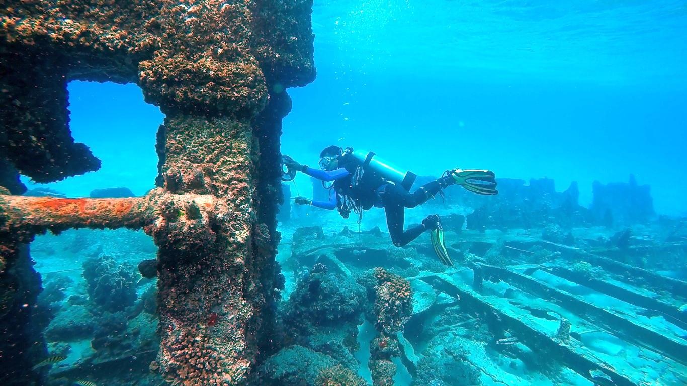
Despite the fact that there has never been any evidence of the city, researchers have discovered evidence of several other ancient regions that are currently beneath the waves.
The discovery of a lost civilization in Western Europe has fundamentally altered archaeologists’ perceptions of the area.
Doggerland Region
The British islands today stand alone at one of the farthest points from Western Europe.
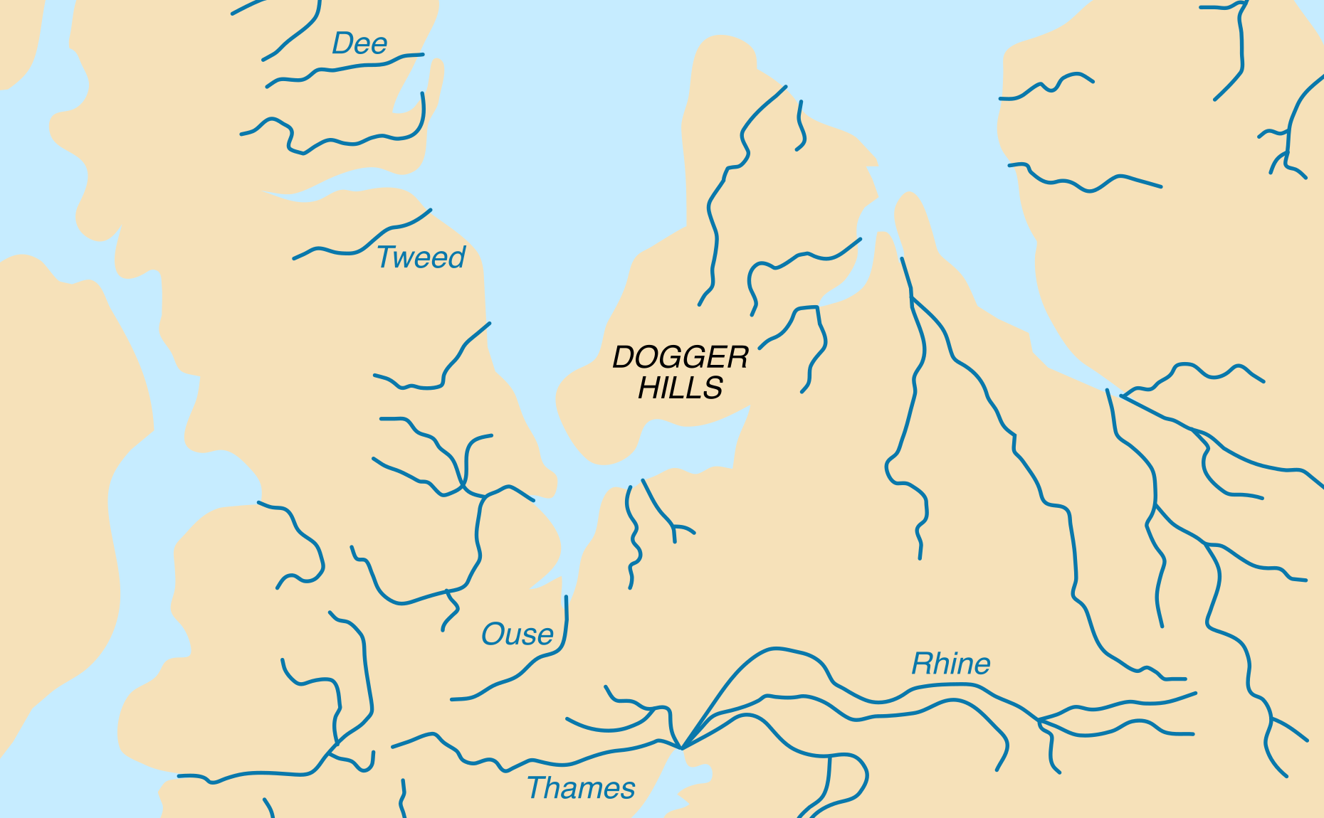
However, just 8,000 years ago, they were part of a huge landmass that is now known as Doggerland. The name comes from a submerged sandbank that is 60 miles off the English coast.
Connection to Britain

Britain was connected to Belgium, the Netherlands, and southern Scandinavia via this landmass.
An ancient civilization that archaeologists are only now beginning to comprehend flourished here.
Neolithic Paradise

Doggerland would have been a paradise for Neolithic people. There would have been a lot of animals, fish, and plants in the area that is now beneath the North Sea, and all of them would have been able to feed the growing population.
Expert hunters and gatherers, these people probably lived in small, tight-knit communities and relied on the abundance of natural resources for survival.
Evidence Washing Ashore
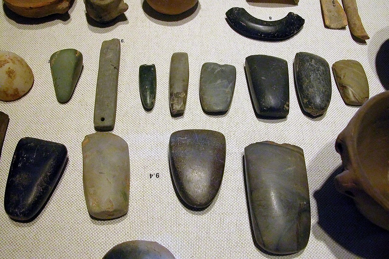
Over many decades, thousands of archaeological items that date back to this civilization have washed ashore from alleged Doggerland settlements.
Archaeologists have long suspected that migration occurred as a result of the constant supply of food.
Diverse Populace
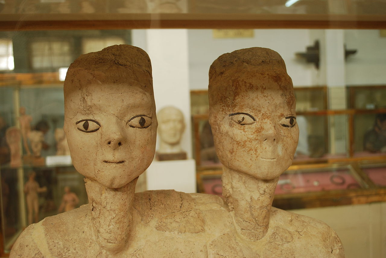
It was thought that Doggerland was made up of a number of distinct groups that probably interacted with one another.
However, determining the precise size of the settlements has been challenging.
Cutting-Edge Technology
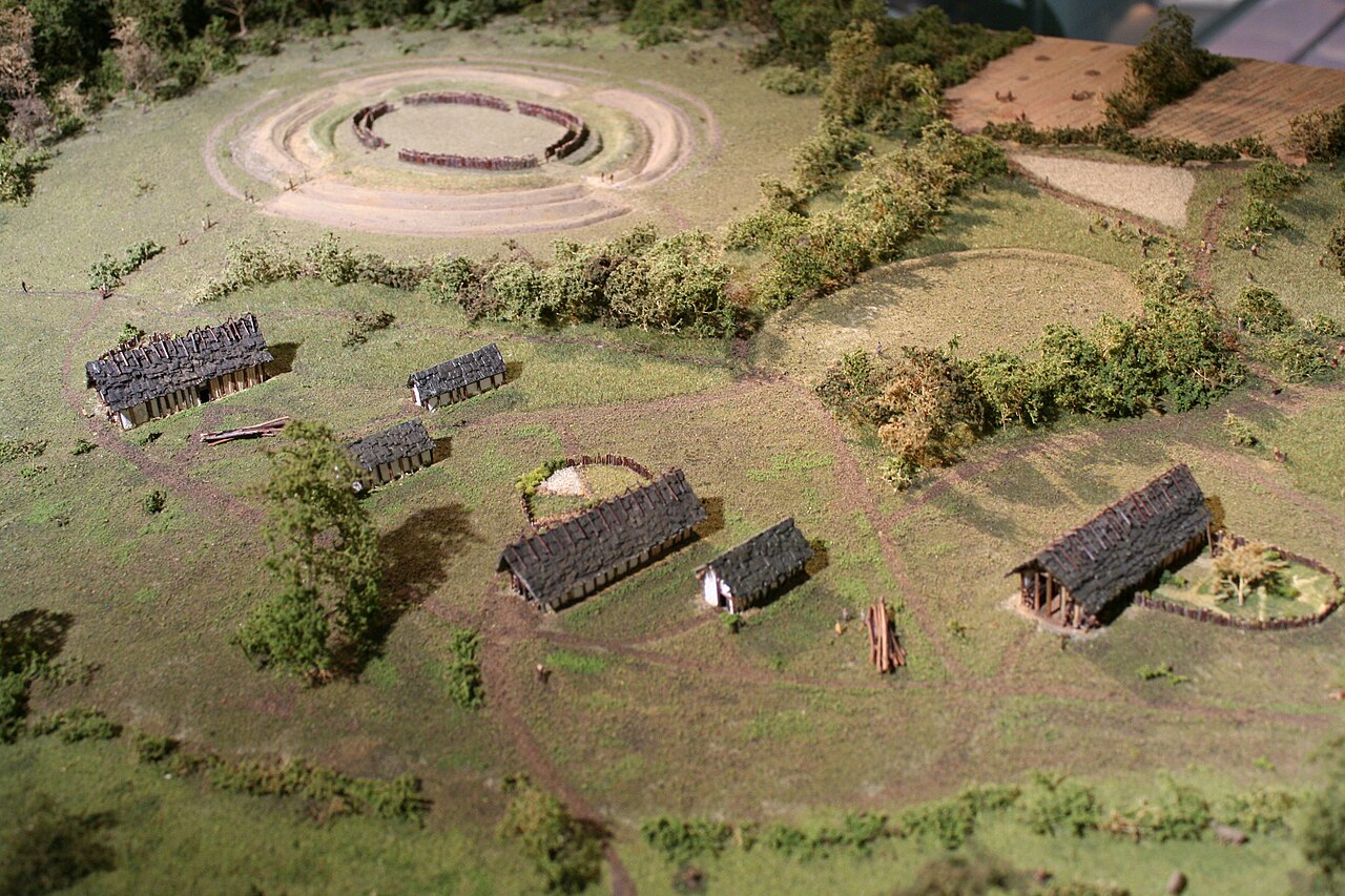
Archaeologists used the assistance of oil companies drilling in the area, who had access to cutting-edge magnetometry technology, to learn more about this lost civilization.
To do this, ground-penetrating radar is used to record a specific area’s magnetic fields. Astonishing anomalies are revealed in the results, which may be the remains of ancient settlements.
Magnetometry Procedure
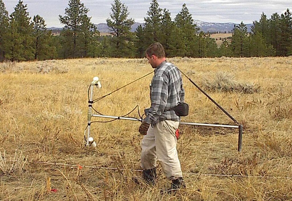
Ben Urmston, a University of Bradford PhD student, provided an explanation of the magnetometry procedure.
According to him, “Small changes in the magnetic field can indicate changes in the landscape, such as peat-forming areas and sediments, or where erosion has occurred, for example in river channels.”
Challenges for Archaeologists
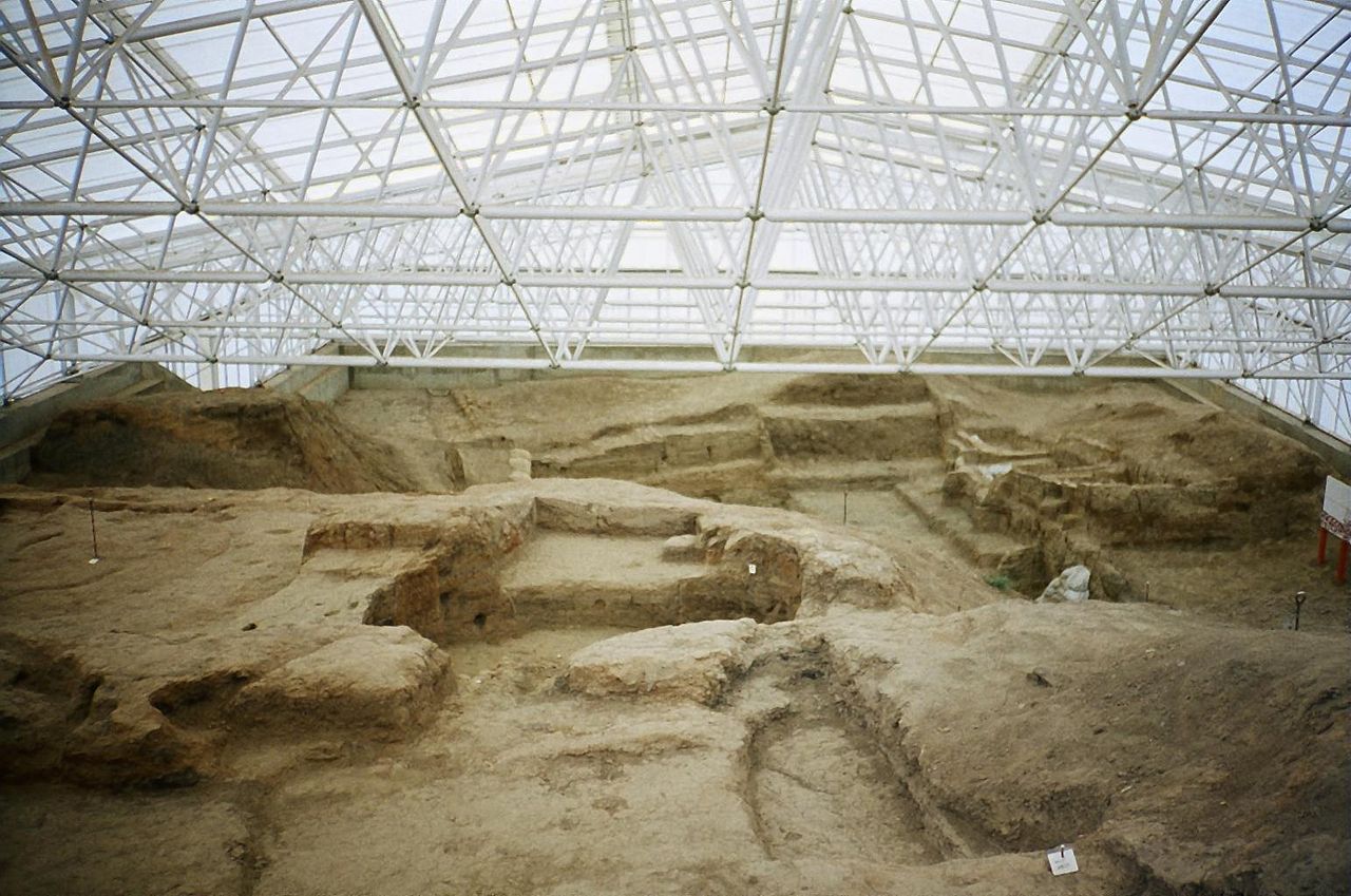
He went on to say, “As the area we are studying used to be above sea level, there’s a small chance this analysis could even reveal evidence for hunter-gatherer activity. That would be the pinnacle.
Doggerland once covered a large area, making it challenging for archaeologists to pinpoint the locations of numerous settlements. However, ground-penetrating magnetometry can be of assistance to them in their research.
Prehistoric Tool

According to Dr. Sasja van der Vaart-Verschoof, the assistant curator of the National Museum of Antiquities in Leiden, one of the most significant finds from the Doggerland region thus far is a prehistoric tool that could be around 50,000 years old.
A small, worked piece of flint was held in place by pitch, a kind of sticky resin taken from a birch tree.
Dr. Van der Vaart-Verschoof says that the artifact showed that the Neanderthals of Doggerland could perform “precise and complex multi-staged tasks.”
