Perched majestically at 4.3 kilometers above sea level, Mount Rainier has remained quiet for over a millennium.
Despite its serene appearance, its storied past and impressive size mark it as a significant concern for U.S. volcanologists, who see it as a sleeping giant capable of future fury.
The Looming Threat Over Puget Sound
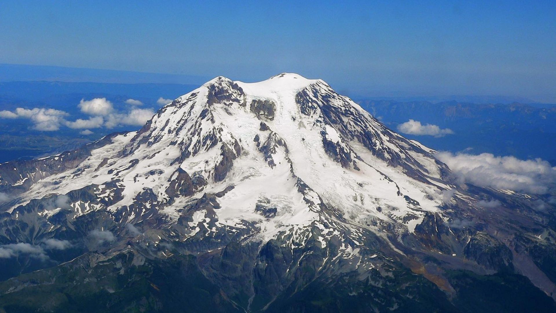
“Mount Rainier keeps me up at night because it poses such a great threat to the surrounding communities,” confessed Jess Phoenix, a volcanologist and advocate, in the CNN series “Violent Earth With Liv Schreiber.”
It’s the history of lahars—massive volcanic mudflows—that makes it particularly dangerous for Tacoma and South Seattle.
It’s Not the Lava to Fear
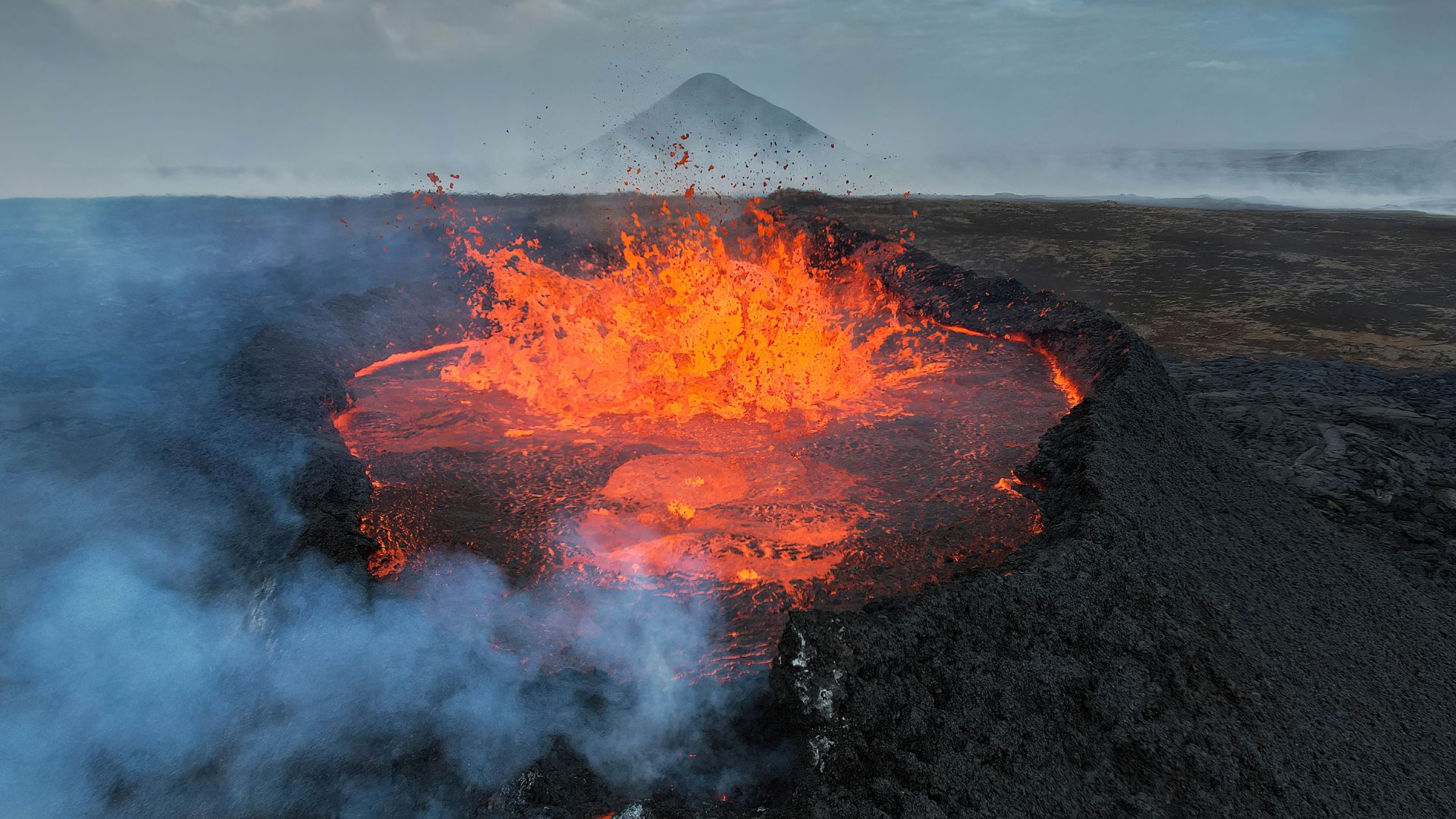
When you think of volcanic eruptions, you might picture rivers of lava.
Yet, at Mount Rainier, the real danger is lahars, devastating flows of mud and debris triggered by the rapid melting of the mountain’s significant snow and ice reserves during an eruption.
The Impending Rush of Destruction
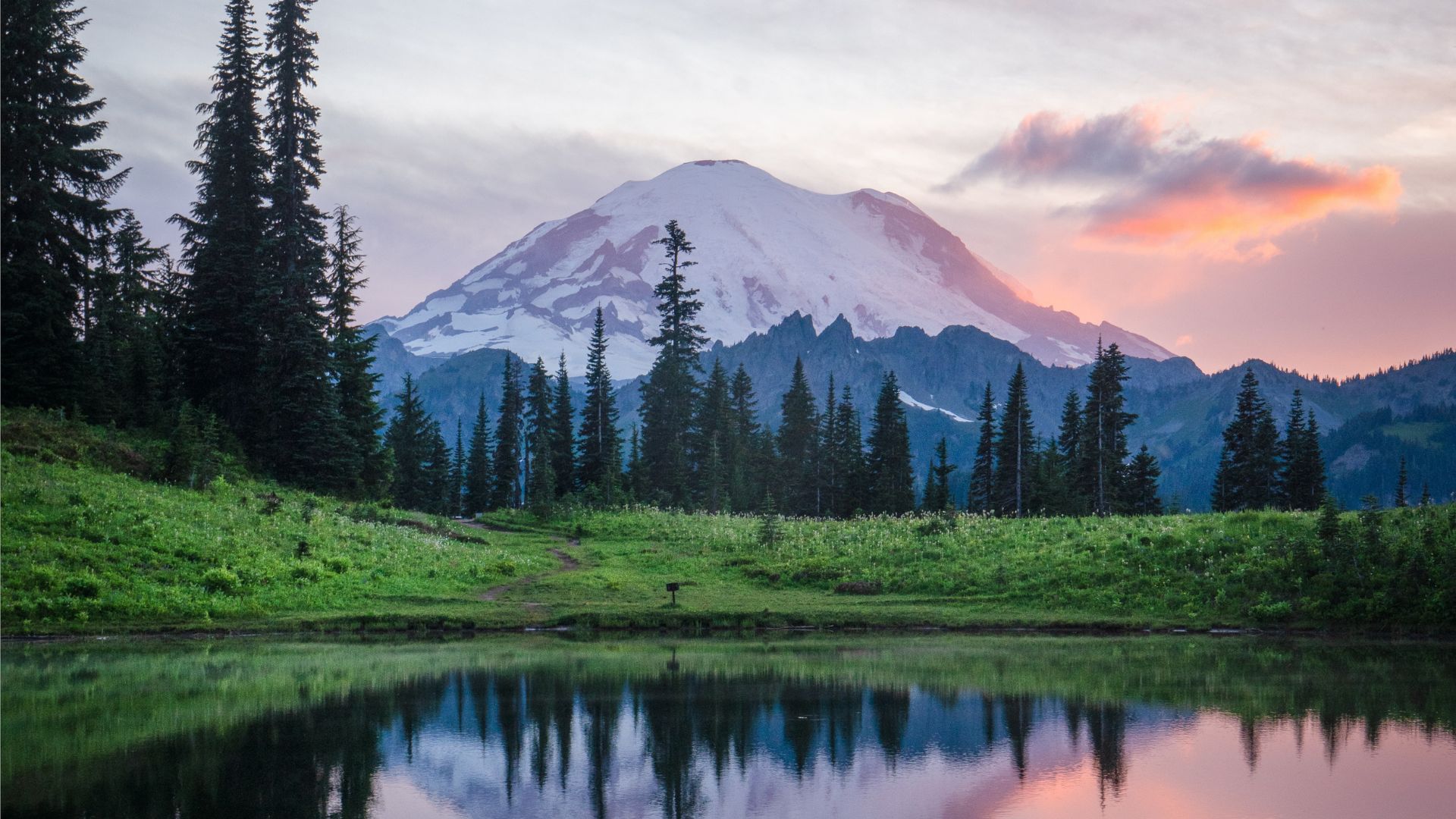
Mount Rainier’s unique risk comes from its icy cloak. “The thing that makes Mount Rainier tough is that it is so tall, and it’s covered with ice and snow, and so if there is any kind of eruptive activity, hot stuff … will melt the cold stuff and a lot of water will start coming down,” noted Seth Moran from USGS Cascades Volcano Observatory.
This creates a dire situation for thousands living below.
Remembering Nevado del Ruiz
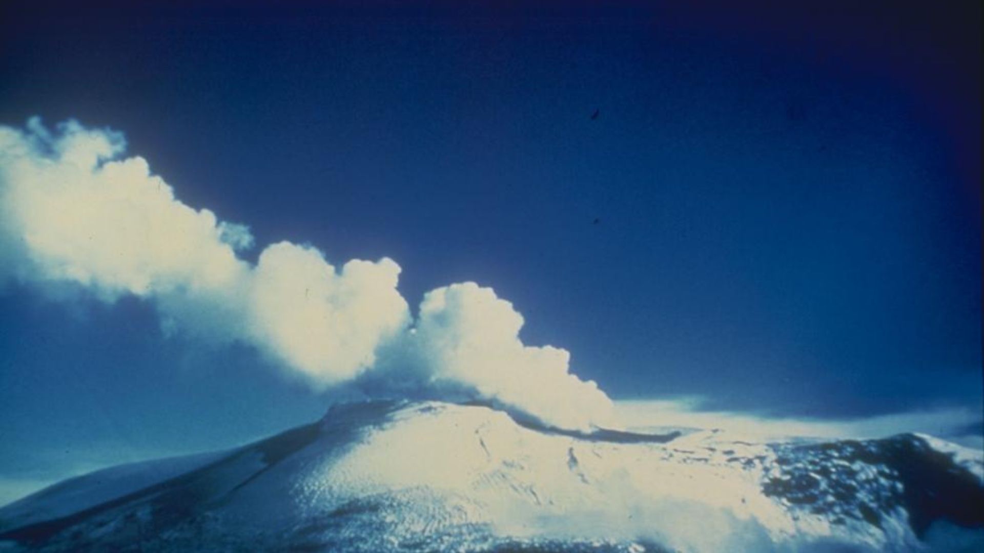
The 1985 calamity at Nevado del Ruiz in Colombia, where a lahar obliterated the town of Armero and killed 23,000 people, stands as a stark warning.
It’s a brutal demonstration of how swiftly lahars can form and the catastrophic toll they can exact on communities.
The Perilous Aftermath of Lahars
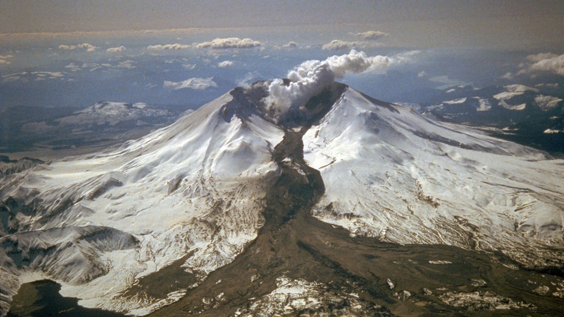
Bradley Pitcher of Columbia University vividly described the peril on CNN’s “Violent Earth,” stating, “When it comes to rest … you’ve got this hardened almost, like, concrete substance that can be like quicksand when people are trying to get out of it.”
This encapsulates the daunting challenges faced during rescue and recovery efforts after a lahar.
Ranked Among the Nation’s Most Dangerous
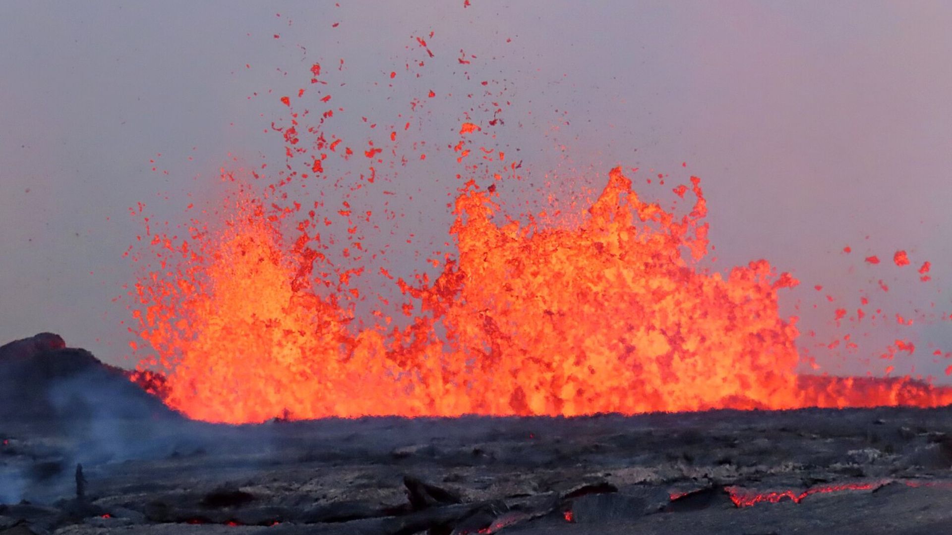
The latest assessments by the US Geological Survey place Mount Rainier as the third most hazardous volcano in the United States, right behind the infamous Kīlauea and Mount St. Helens.
This ranking demonstrates the potential for disaster due to its proximity to populated areas.
A Long History of Devastation
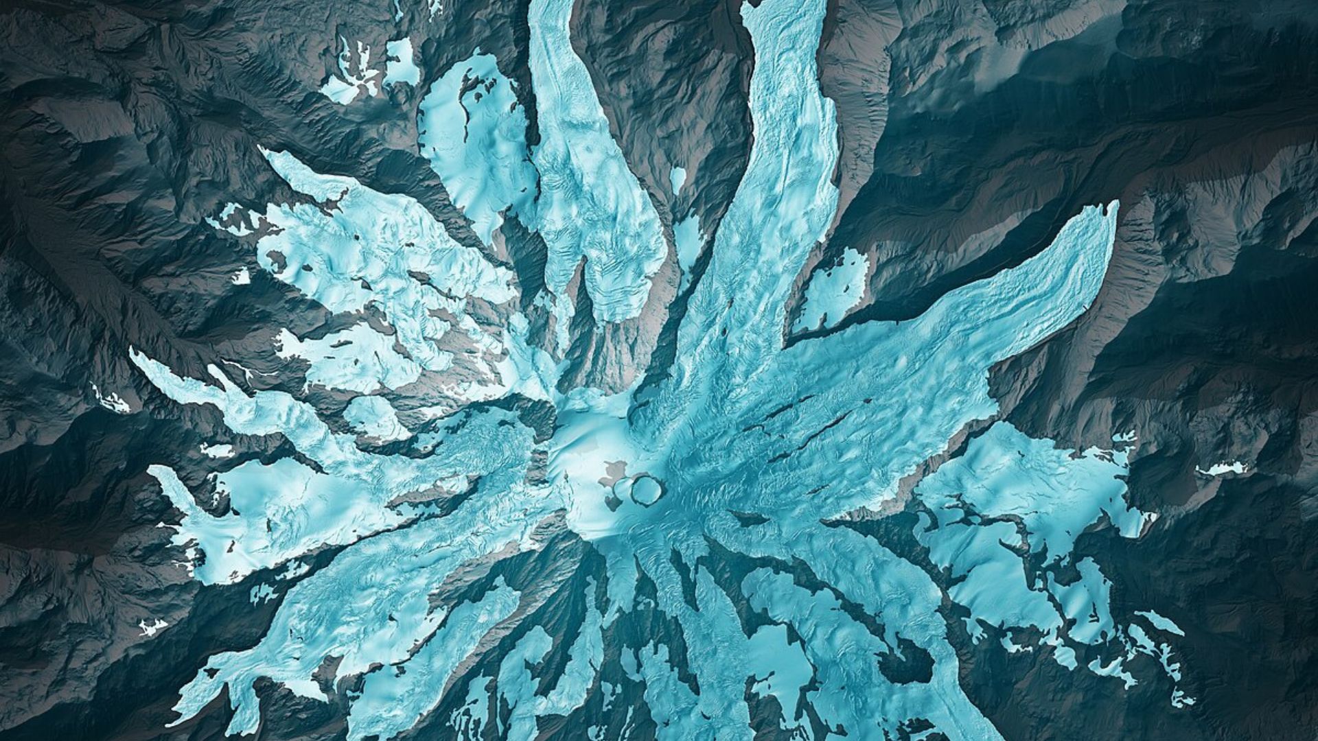
Studies have tracked multiple large lahars from Mount Rainier flowing into the Puget Lowlands over the past 6,000 years.
“The volcano is potentially capable of doing it again,” warned Moran, illustrating the ongoing geological instability around the mountain.
The Threat of Spontaneous Lahars
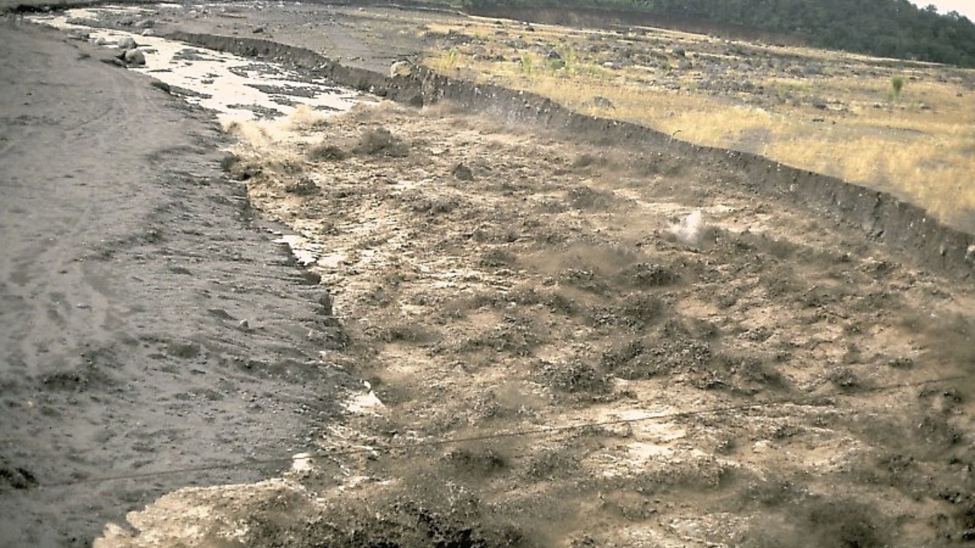
Not all lahars require volcanic eruptions to begin. Moran emphasized that landslides on Mount Rainier’s west flank could also set off these deadly flows.
These events are unpredictable and could happen suddenly, presenting an immediate hazard to nearby areas.
Forecasting Future Catastrophes
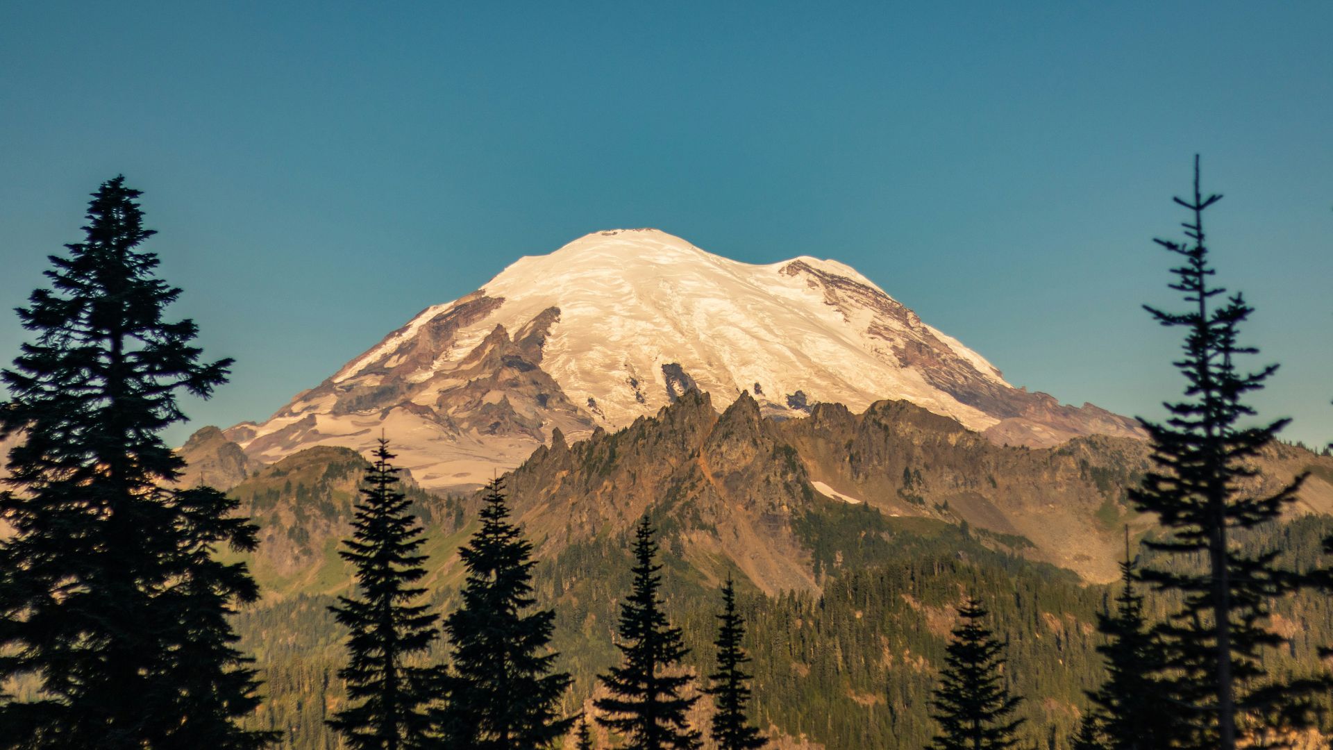
Recent simulations have painted a grim picture: a colossal lahar originating on the western slopes of Mount Rainier could devastate areas far from the peak within an hour.
The findings highlight the urgent need for community preparedness and robust evacuation plans.
Cutting-Edge Detection Systems
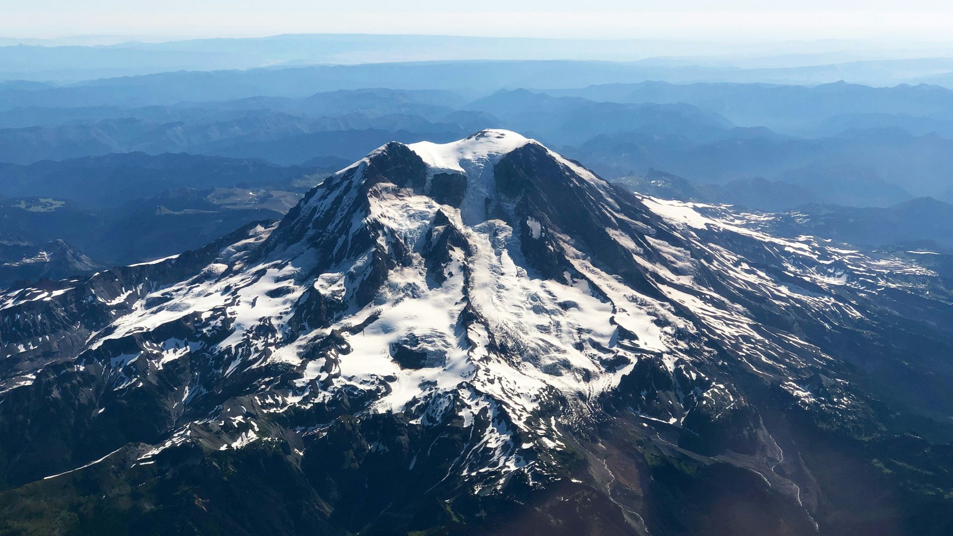
Efforts to safeguard the region began in 1998 when Mount Rainier was equipped with an elaborate lahar detection system, now featuring broadband seismometers, infrasound sensors, and other high-tech tools.
This network is vital for providing early warnings that could save thousands of lives.
Training for Survival
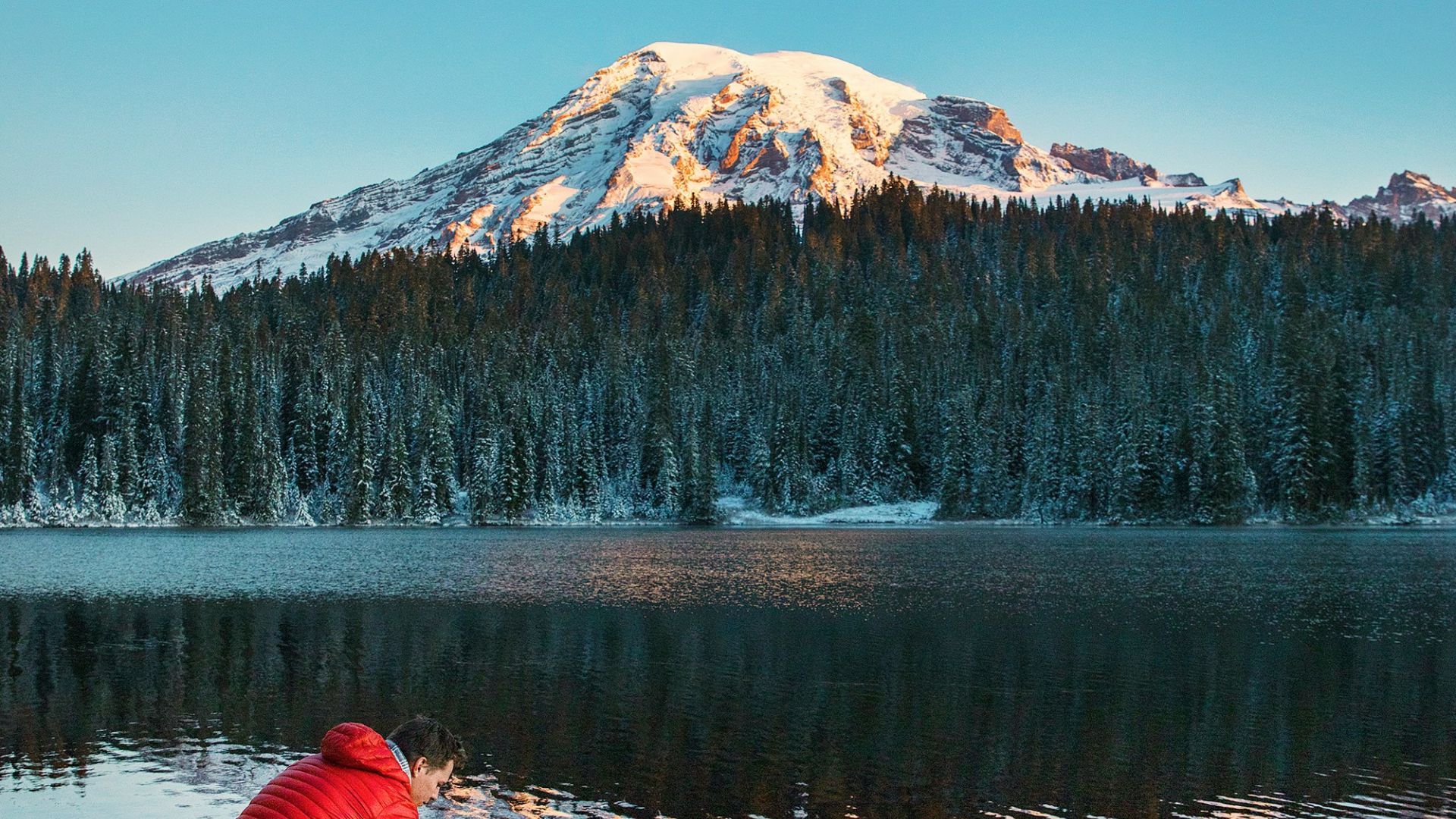
In March, the largest lahar evacuation drill ever was held, involving 45,000 students across several school districts.
This large-scale practice session tested local emergency responses and heightened community awareness about the very real risks of residing in the shadow of Mount Rainier.
