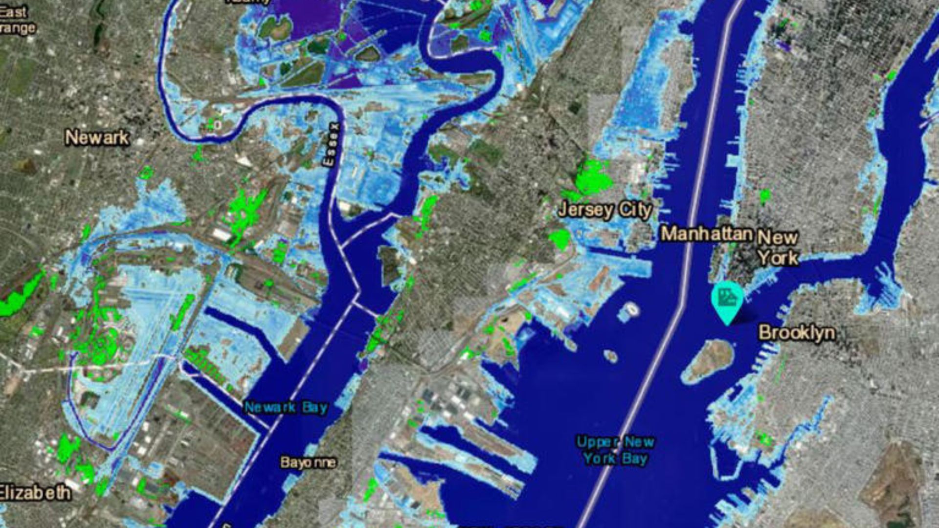
A new map from the National Oceanic and Atmospheric Administration (NOAA) remarkably shows how parts of New York will soon be underwater, thanks to rising sea levels as a result of climate change.
Scientists have long warned that many parts of the U.S. could soon deal with massive flooding as ocean levels rise. This latest map indicates just how badly hit some areas of New York will be.
Climate Change and Sea Levels
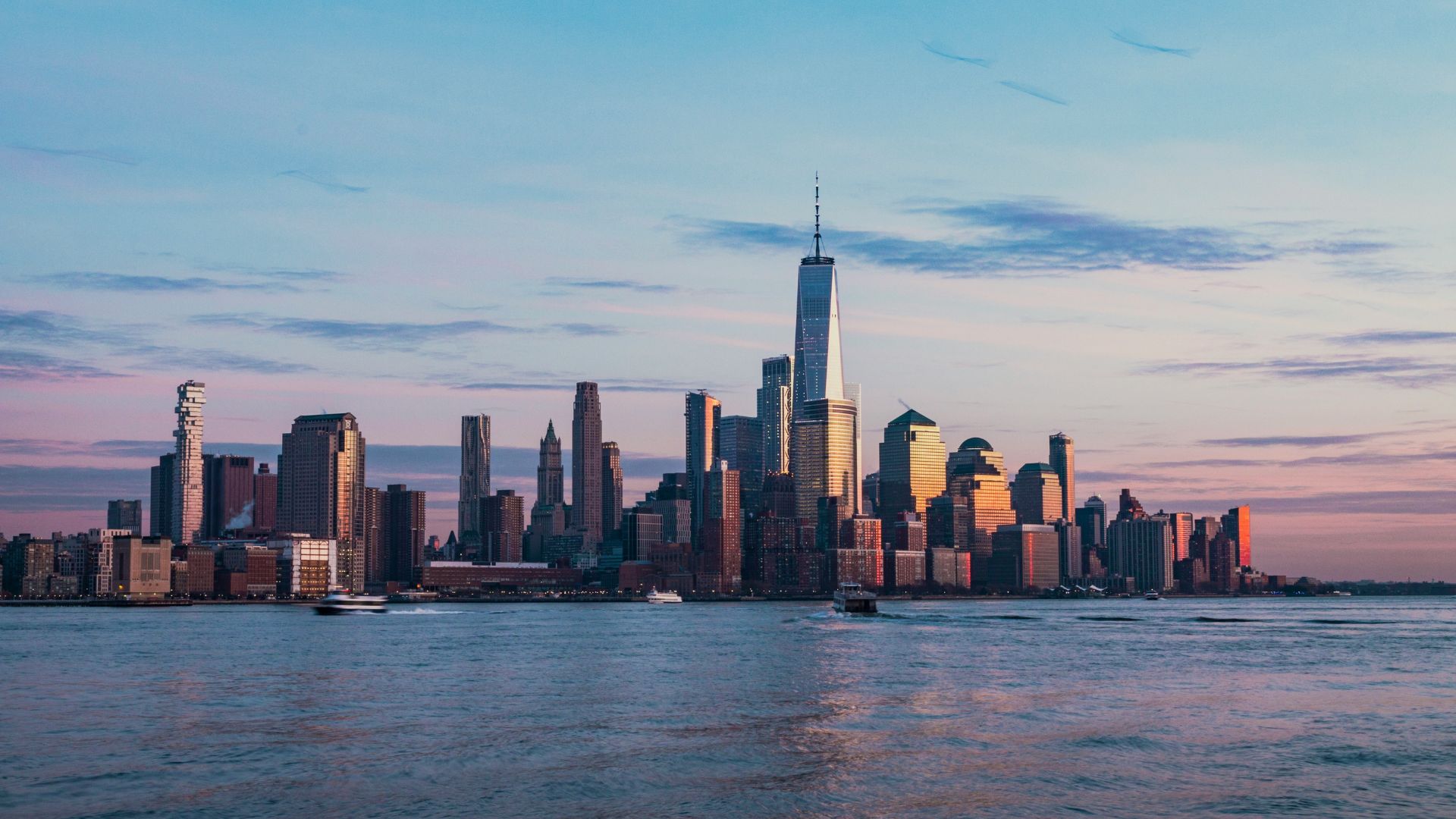
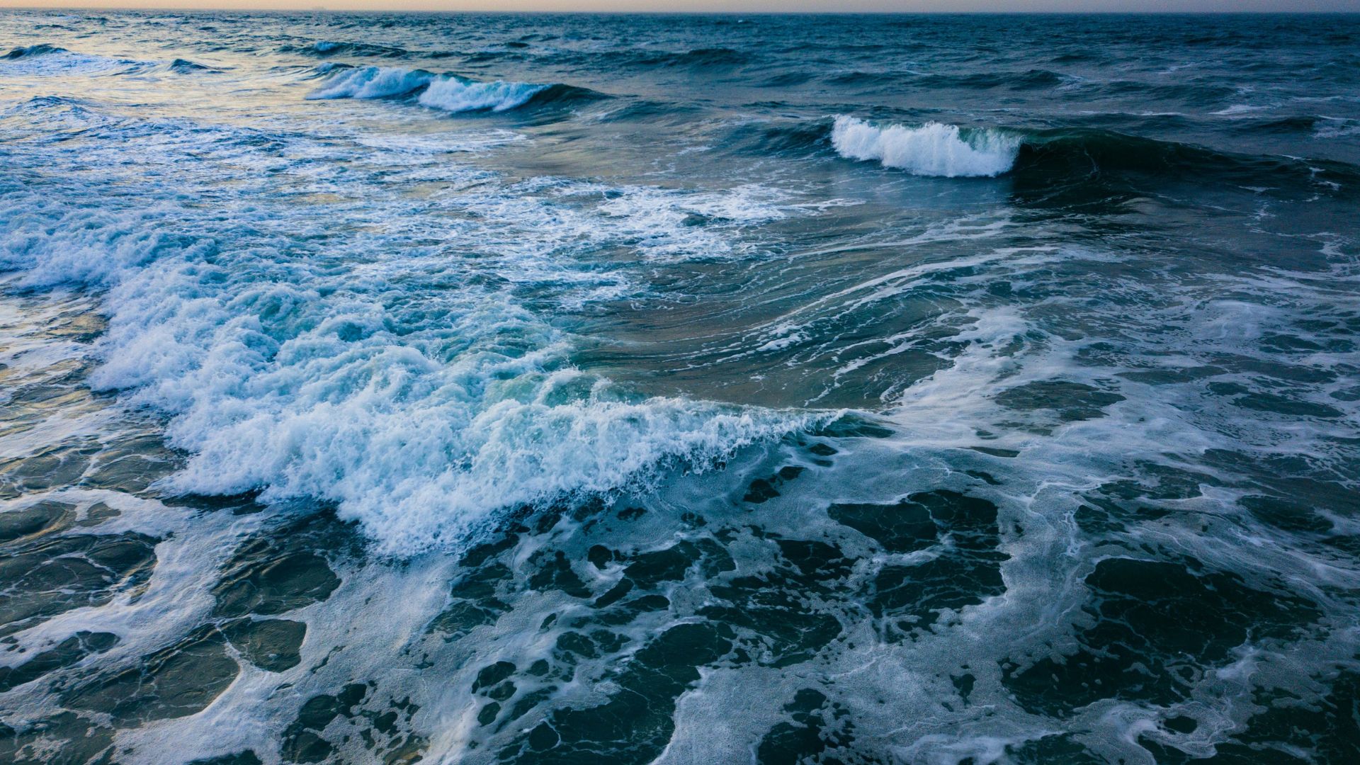
As the world deals with climate change, sea levels will likely continue to rise. There are various projections that have been made about just how high these ocean waters will be.
Experts have explained that residents up and down the eastern seaboard will likely see the Atlantic Ocean rise — and experience massive flooding in their cities and towns, as a result.
New York’s Uncertain Future
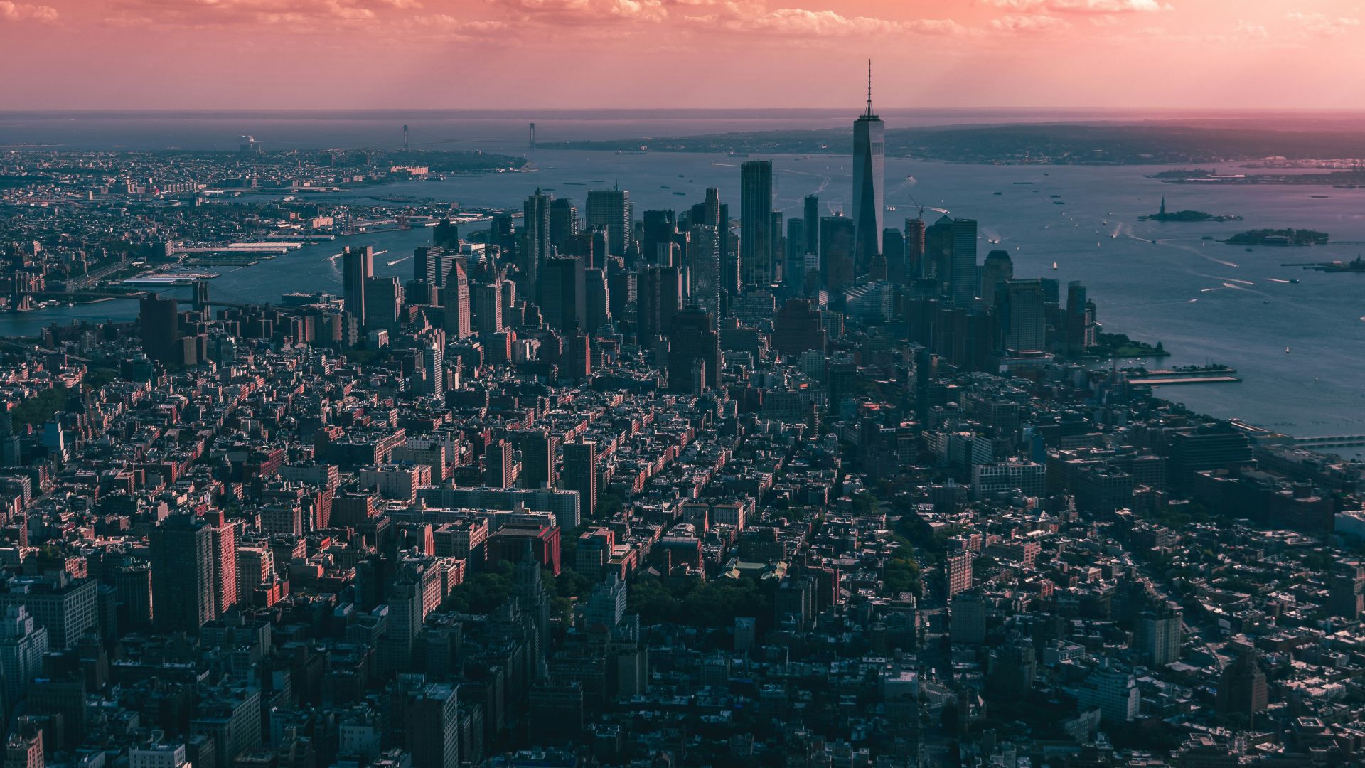
New York, unfortunately, is one area of the United States that likely will be the hardest hit if sea levels indeed rise to dramatic heights in the next 100 years.
However, some areas of the state may be able to deal with these rising tides. Other areas, meanwhile, will be hit incredibly hard, as seen in this new NOAA map.
Looking at Different Scenarios
This new map was made by using NOAA’s Sea Level Rise Viewer, which allows users to view different scenarios of sea level rise in the future.
Therefore, you can see both the best-case scenario of what the future holds — and the worst-case scenario. You can also see how this sea level rise will change up to the year 2100.
What Area Has the Highest Risk?
According to this new map viewer, it appears that Long Island’s southern coast will have the highest risk in the decades to come, as sea levels will rise and swallow up much of the area.
Areas around Long Island, therefore, are also at the highest risk, as much of this region ends up completely underwater in the worst-case scenarios.
How New York Fares
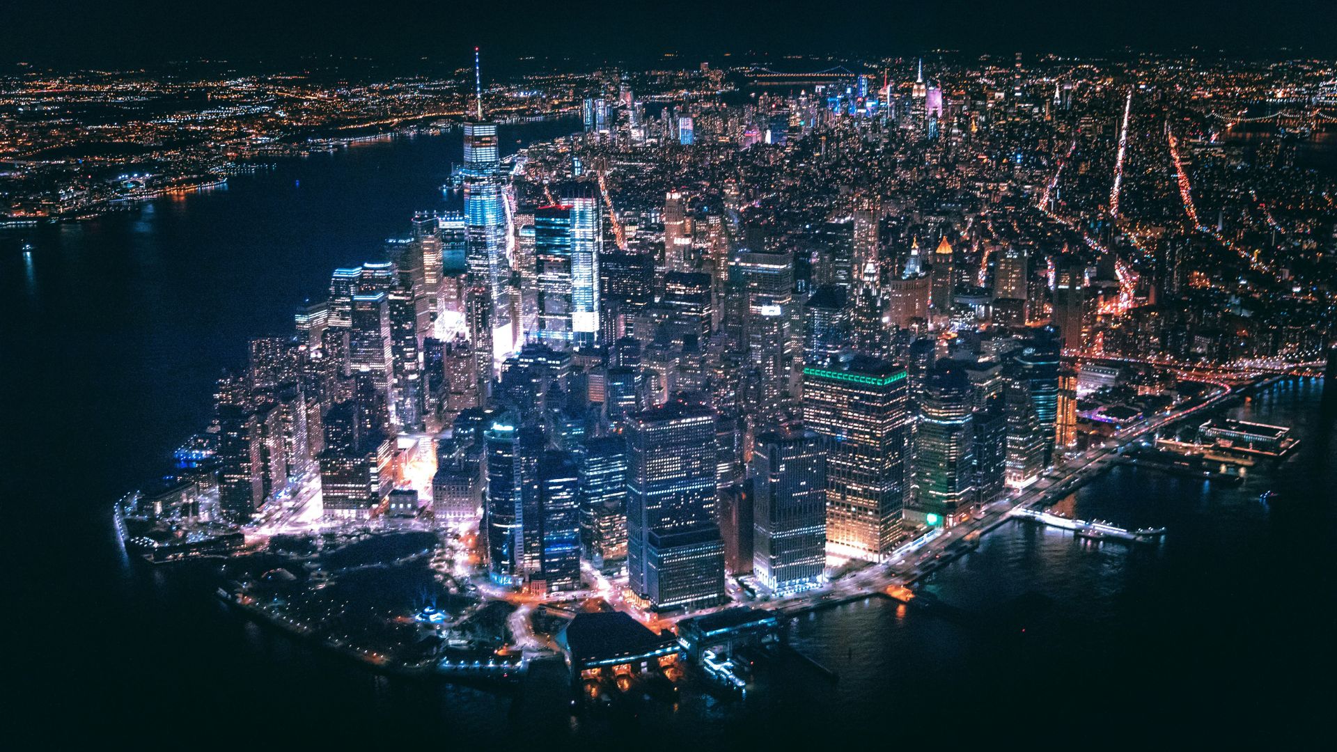
Areas in the state, such as Manhattan, Montauk, and New Rochelle may have only a 2.49-foot increase by 2100 in generated best-case scenarios.
However, worst-case scenarios see these areas struggling under a potential 6.66-foot rise in sea levels, leaving much of the area flooded.
Risky Areas
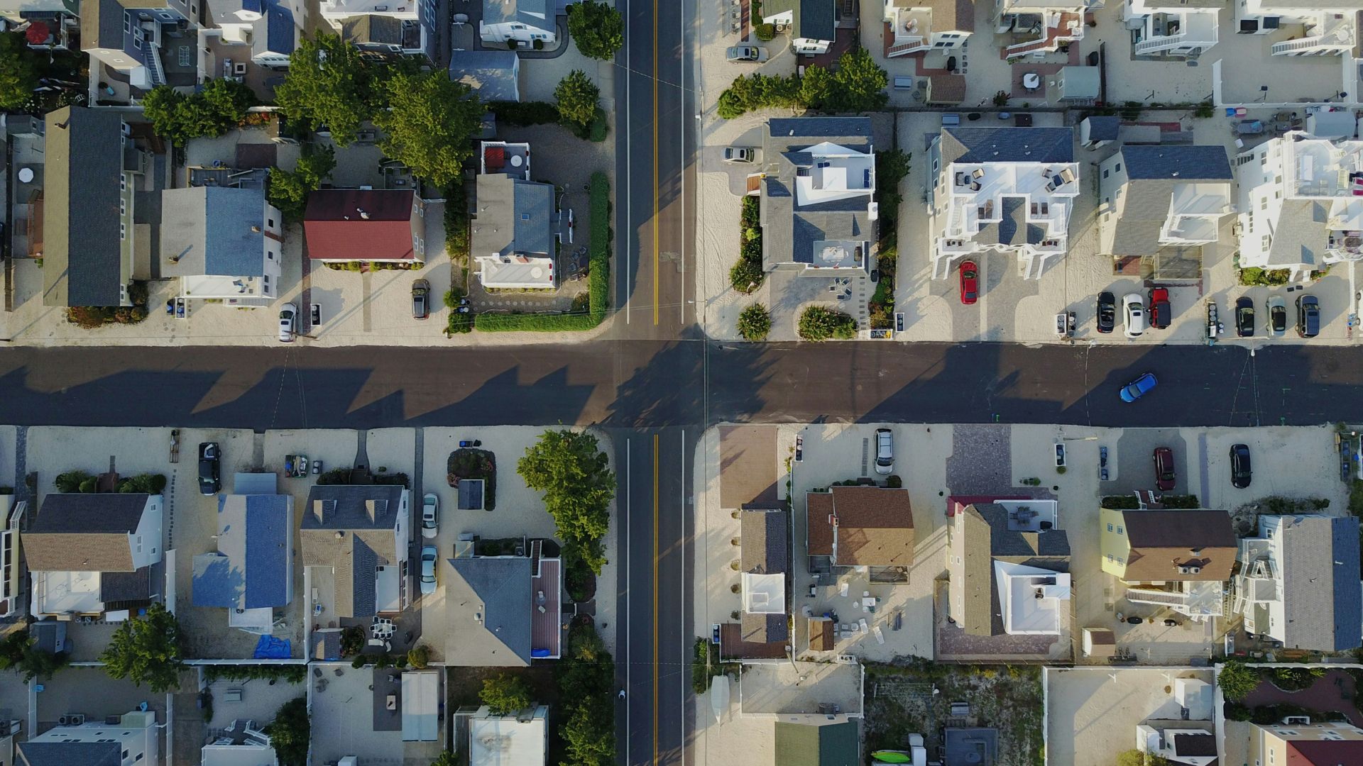
For the most part, any area near the sea — especially the islands such as Long Island — face incredibly dangerous and risky situations in all worst-case scenarios.
Even areas with inland streams and rivers, however, end up underwater in these cases, as well. Therefore, various areas of New York face an uncertain future as sea levels continue to rise.
The World Deals With Warmer Weather
This interactive map from NOAA comes as much of the world is currently undergoing skyrocketing temperatures. Scientists have pointed to human-caused climate change as to why we’re seeing this warmer weather this summer.
While parts of the U.S. are currently experiencing a heat wave thanks to a “heat dome”, parts of Europe and the Middle East have seen their own excessive heat waves.
Why Sea Levels Are Rising
Experts have explained that sea levels can rise — and decimate coastal towns around the world — during periods of climate change.
As the weather gets warmer around the world, ocean temperatures also heat up. Once this happens, glaciers can begin to melt, which helps raise sea levels around the world.
U.S. Coastlines’ Future
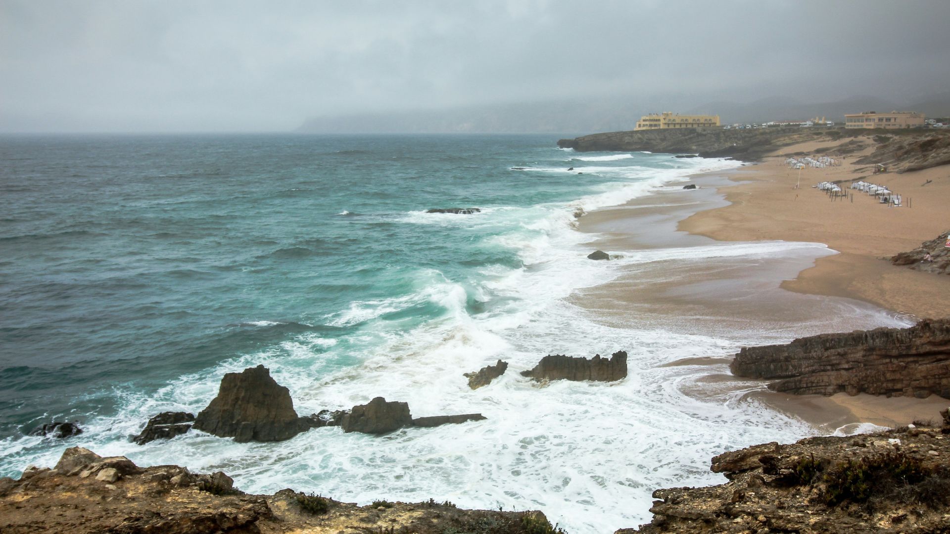
NOAA’s oceanographer William Sweet recently opened up about what the future of U.S. coastlines looks like, while also detailing why sea levels may rise.
Sweet explained, “Increased carbon emissions are increasing atmospheric and ocean heating that is melting land-based ice sheets and glaciers and causing thermal expansion of the ocean resulting in coastal sea level rise along most U.S. coastlines.”
Sea Levels in Florida
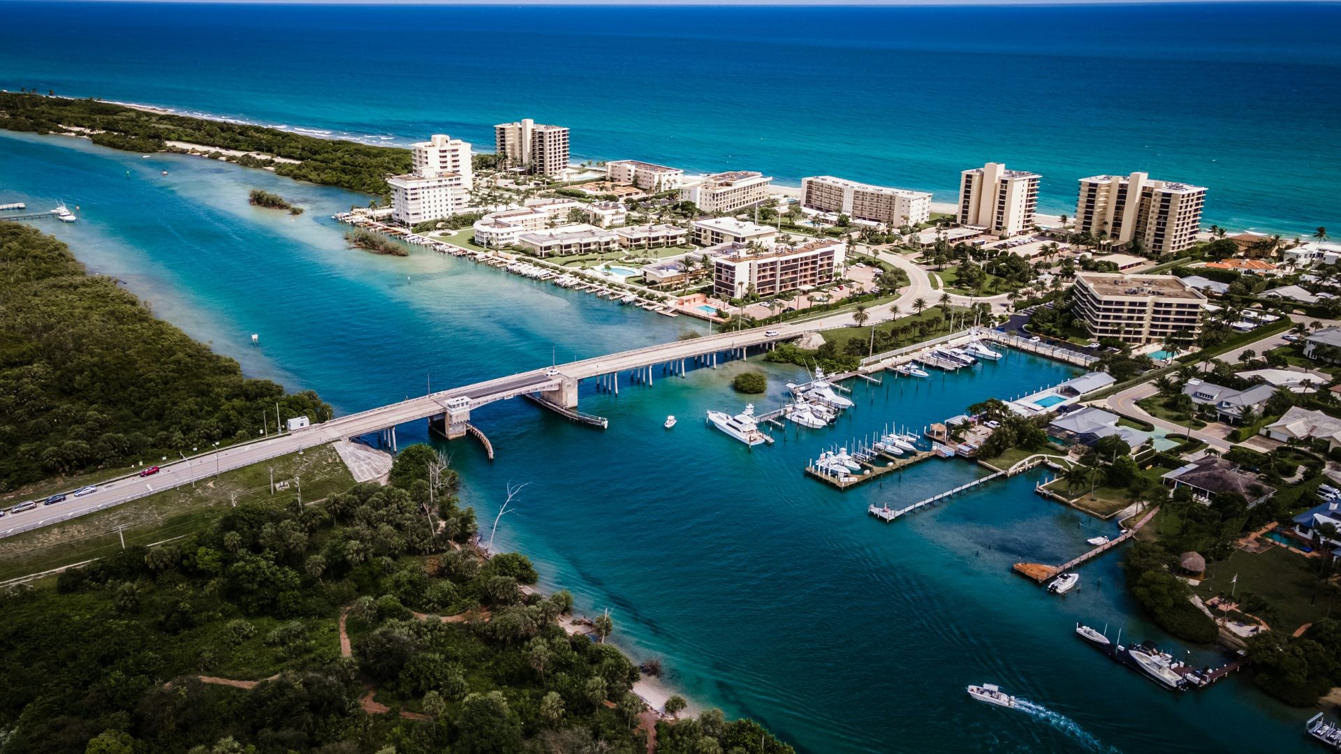
While New York is expected to see potentially detrimental sea level rises in the next few decades, it’s not the only state that has this particular forecast. Florida also has worrying expert forecasts.
According to scientists, South Florida will likely see a sea level rise of about two feet by 2050. Already, areas of South Florida have struggled with flooding situations during periods of high sea tides and heavy rainstorms.
Are Glaciers Melting Faster Than Scientists Thought?
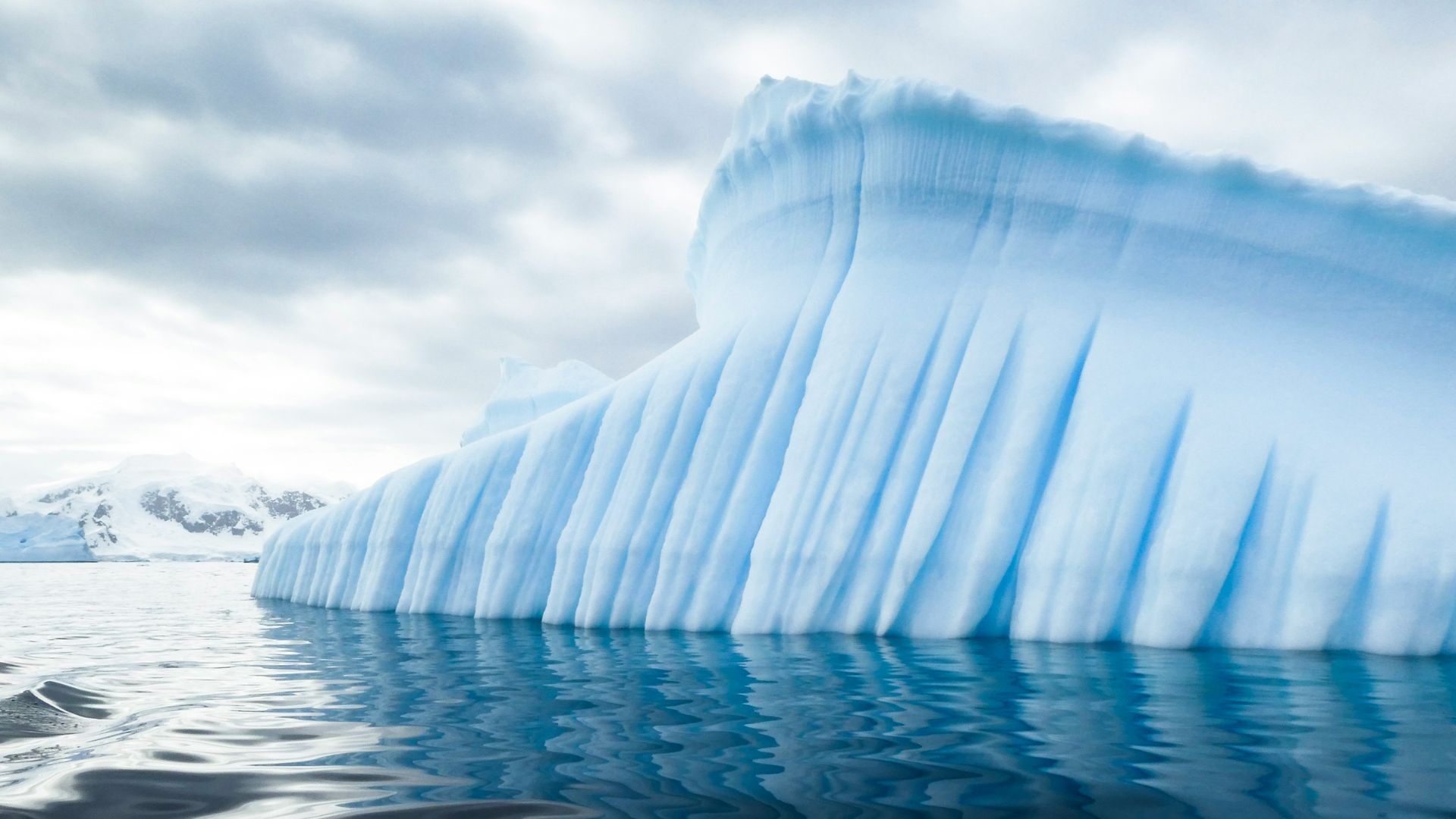
Even more worryingly, scientists have recently come out to explain that their data could be off when it comes to glaciers melting and sea levels rising. Now, many experts think that glaciers could be melting much quicker than they initially thought.
This all stems from new studies on Antarctica’s Thwaites Glacier, also called the “Doomsday Glacier”, as it’s the world’s widest glacier. Data now indicates that this glacier might be melting much quicker than they anticipated, which could make sea levels rise even faster.
