Scientists have recently become bewildered over an ongoing weather event in the Atlantic Ocean near the equator.
A large strip of ocean has cooled in an incredibly short time frame — and scientists don’t know why. Now, this very same strip of water is warming back up to normal temperatures, further baffling researchers.
An Interesting Situation Near the Equator

According to multiple researchers who are still tracking this event, a cold patch of the Atlantic Ocean spread several degrees from the equator to the north and south.
This strip of water first began to form and cool at the beginning of July. Interestingly, this cooling event also happened after this region experienced the warmest waters seen in about 40 years.
Observing the Equator
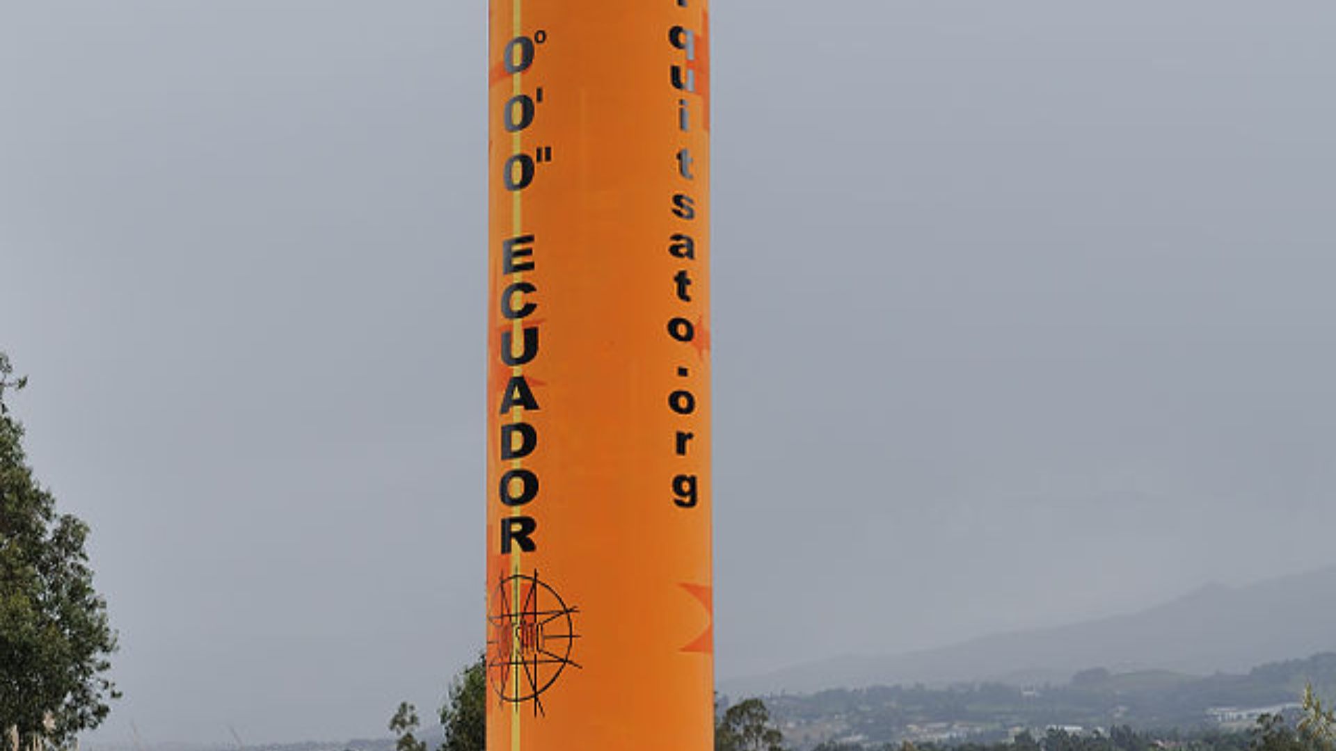
To better understand the cooler patch of the Atlantic, scientists are monitoring the area, which stretches across either side of the equator.
This patch spans between Brazil and the coast of East Africa. This region is otherwise known as the central equatorial Atlantic.
An Unprecedented Event

Researchers have explained that this region has gone from cold to warm waters often, as it swings between these phases. However, these changes occur over a few years — not at the record speed seen this year.
Franz Tuchen, a University of Miami in Florida postdoctoral research associate explained that this event is “really unprecedented.”
Scientists Don’t Know What’s Going On

Various scientists have clarified that they truly don’t know what’s going on.
Michael McPhaden, a National Oceanic and Atmospheric Administration (NOAA) senior scientist, explained, “We are still scratching our heads as to what’s actually happening.”
A New Event That Researchers Don’t Understand

McPhaden believes that this cooling event seen near the equator could be some type of feature that scientists have yet to understand.
“It could be some transient feature that has developed from processes that we don’t quite understand,” McPhaden added.
The Warmest Waters on Record

This remarkable cooling event comes just after the waters in this region were the hottest seen on record since 1982.
Between February and March, eastern equatorial Atlantic waters were more than 86 degrees Fahrenheit.
Cooling Waters in June

However, everything suddenly began to change when June rolled around. Suddenly, the waters began to plummet in temperature.
By July, the coolest recorded waters were seen of this event, as temperatures reached 77 degrees Fahrenheit.
Will an Atlantic Niña Develop?
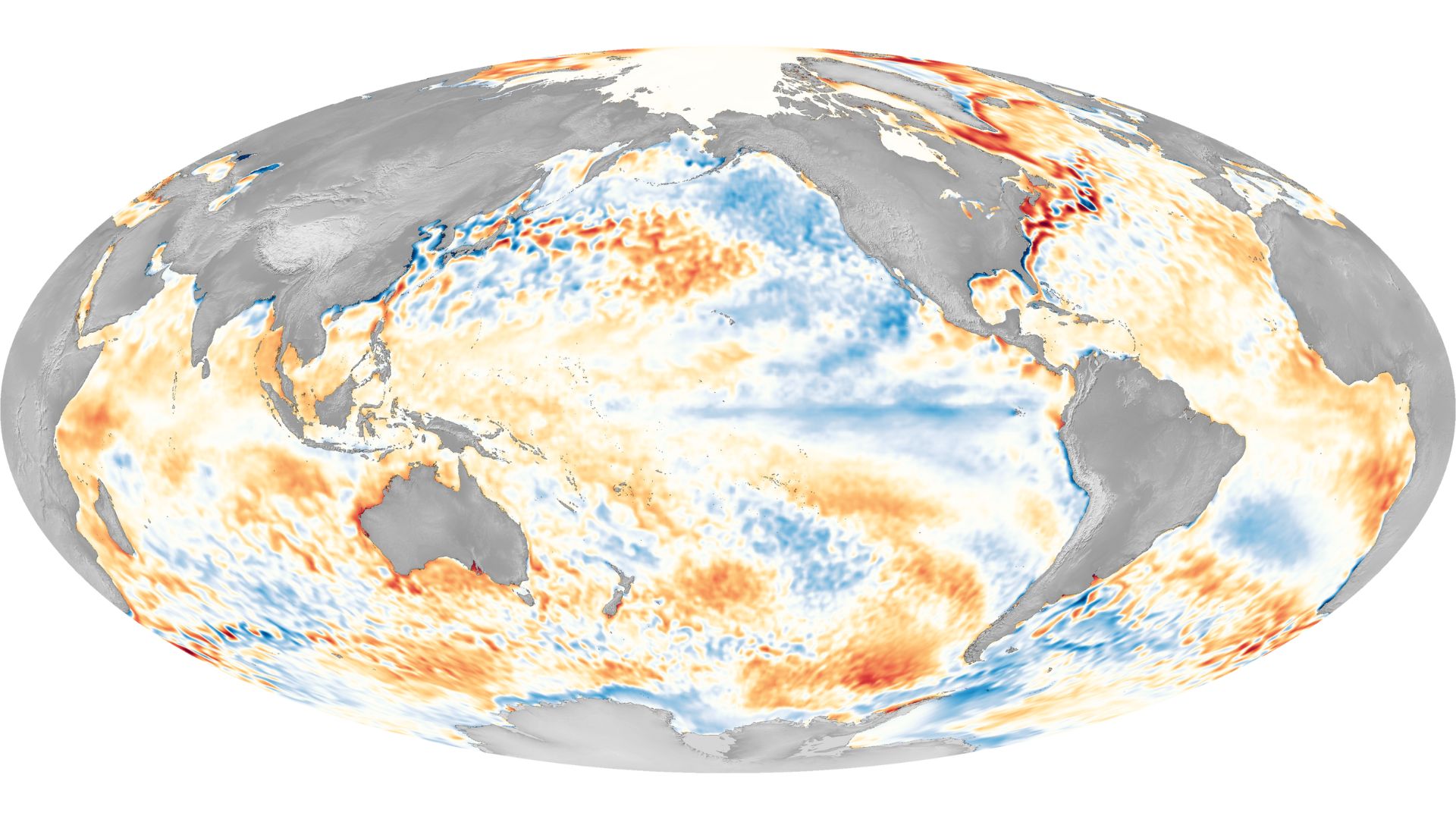
As a result of this sudden cooling situation, scientists have begun to forecast that an Atlantic Niña may be developed.
An Atlantic Niña is a climate pattern that can result in increased rainfall occurring over areas of the world, such as western Africa. Meanwhile, other areas, such as northeastern Brazil, will see decreased rainfall. An Atlantic Niña hasn’t been seen since 2013.
What Is an Atlantic Niña?

An Atlantic Niña is the cold phase of a natural climate pattern called the Atlantic zonal mode.
Usually around July and August, the cooling temperatures of the ocean cause the easterly winds to pick up. On a local scale, the Atlantic Niña affects which parts of the world become wetter and drier.
No Atlantic Niña Yet
However, scientists have also explained that if these cooler waters had lasted for three months, then an Atlantic Niña would have developed. Now, the waters in this region are warming up again.
As a result, Tuchen has said, “The verdict is already quite certain that it’s not gonna be classified as Atlantic Niña.”
What an Atlantic Niña Does
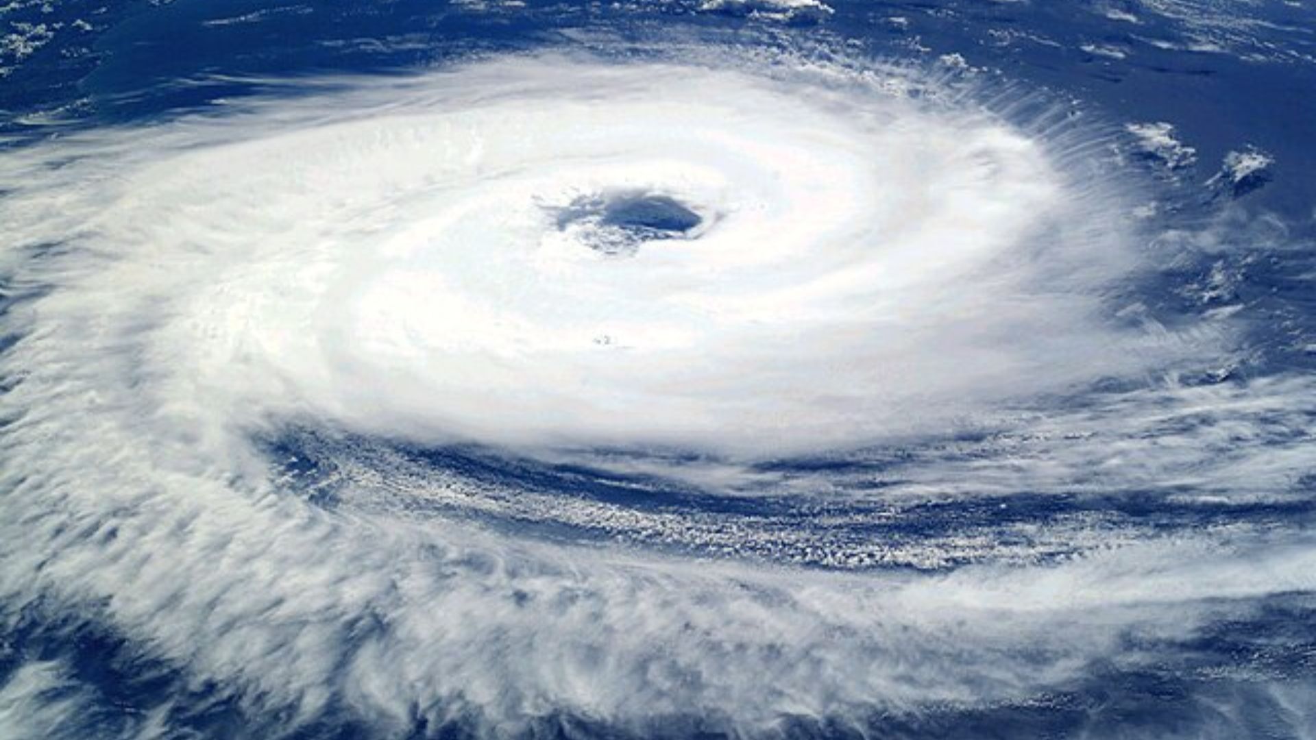
An Atlantic Niña can be good news for people in areas prone to hurricanes.
Cooler waters off the coast of Africa can suppress the formation of African easterly waves, which can develop into tropical storms or hurricanes later.
Disturbing Weather Systems

While on a smaller scale compared to La Niña and El Niño in the Pacific Ocean, the Atlantic Niña can still disrupt weather patterns.
In 2013, the last Atlantic Niña caused devastating floods in large areas of Brazil, including Rio de Janeiro.
One to Watch

Although the temperatures have risen again, researchers were observing the patch of water in hopes it would minimize the risk of hurricanes.
Dr Tuchen said: “It will be interesting to monitor whether this Atlantic Niña fully develops, and if so, whether it has a dampening effect on hurricane activity as the season progresses.”
Competing with the Pacific
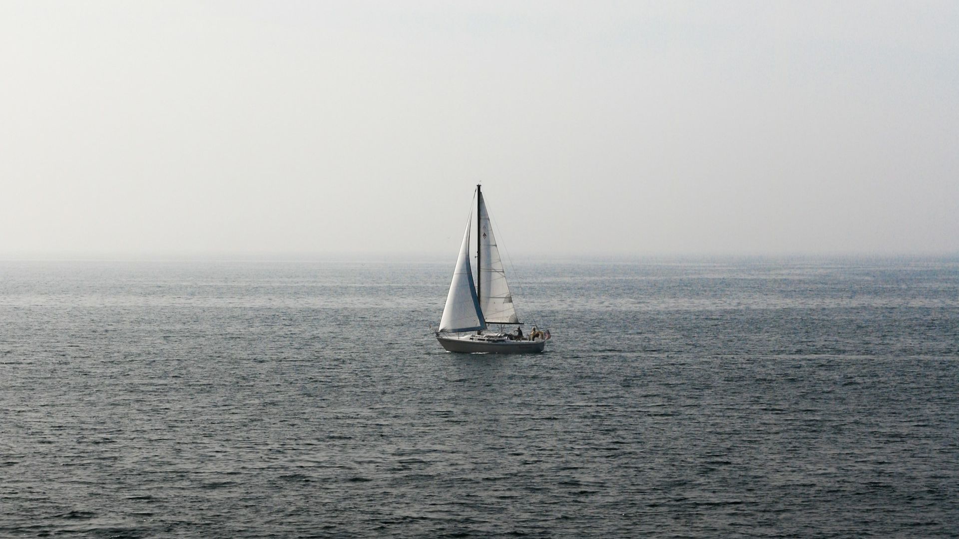
While an Atlantic Niña might offset the chance of hurricanes, La Niña in the Pacific Ocean increases the risk.
The two La Niñas may influence each other directly, but it is challenging to predict how. The Atlantic could be delaying the development of the Pacific La Niña. McPhaden said: “There could be a tug of war between the Pacific trying to cool itself and the Atlantic trying to warm it.”
Analyzing Winds
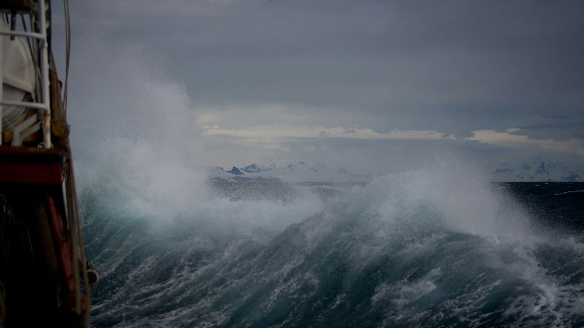
As scientists are still struggling to fully understand this situation, they’ve begun to analyze winds in the region.
However, this has left them further stumped, as it doesn’t appear that winds are impacting the waters and cooling them, as is normal. Tuchen explained, “At the moment, we believe that the winds are actually responding to the cooling.”
Are Winds to Blame?

McPhaden has also analyzed winds seen in this region. While McPhaden believes that some strong winds may have helped form the cold patch in the beginning, the winds have increased during temperature drops.
As a result, McPhaden has said, “There’s something else going on.”
Could Global Warming Be Behind This?
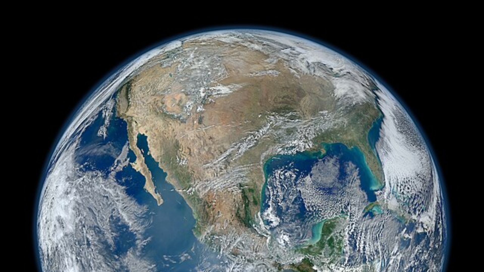
Over the last two years, scientists have observed unusually high ocean temperatures in the Atlantic.
While an Atlantic Niña might provide some cooling for some regions, it may not last long in the face of global warming.
A Potential Relief?
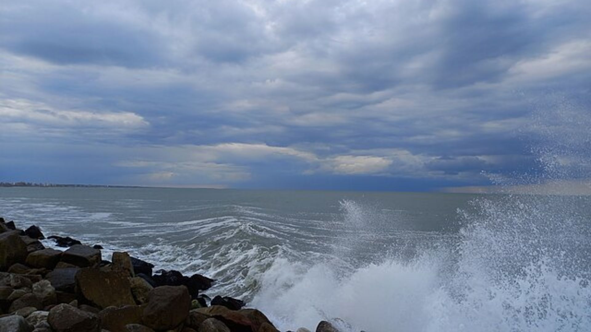
While scientists cannot put their finger on what happened in the Atlantic, this could be welcome news.
After over a year of record heat on land and at sea due to global warming, this could be a positive change.
Averages Temperatures Down
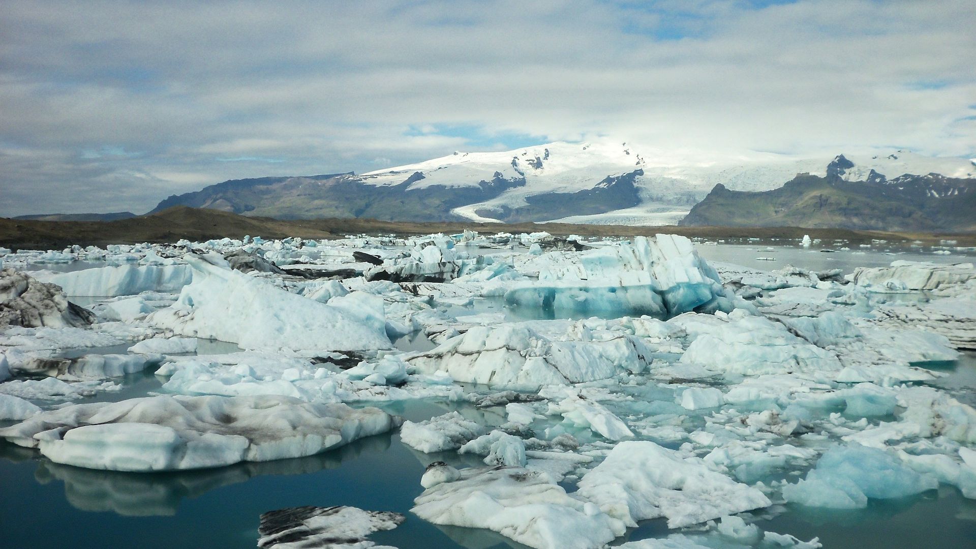
The cooling of this part of the Atlantic may reflect a broader trend.
Pedro DiNezio at the University of Colorado said: “We are starting to see that the global mean ocean temperatures are going down a bit.”
Observing Weather Patterns

Scientists have modeled a handful of climate processes to see if they explain the cold region.
They have simulated strong heat fluxes in the atmosphere or changes in ocean and wind currents. “From what we see, these are not obvious drivers of this cooling event,” said Tuchen.
Natural Climate Pattern
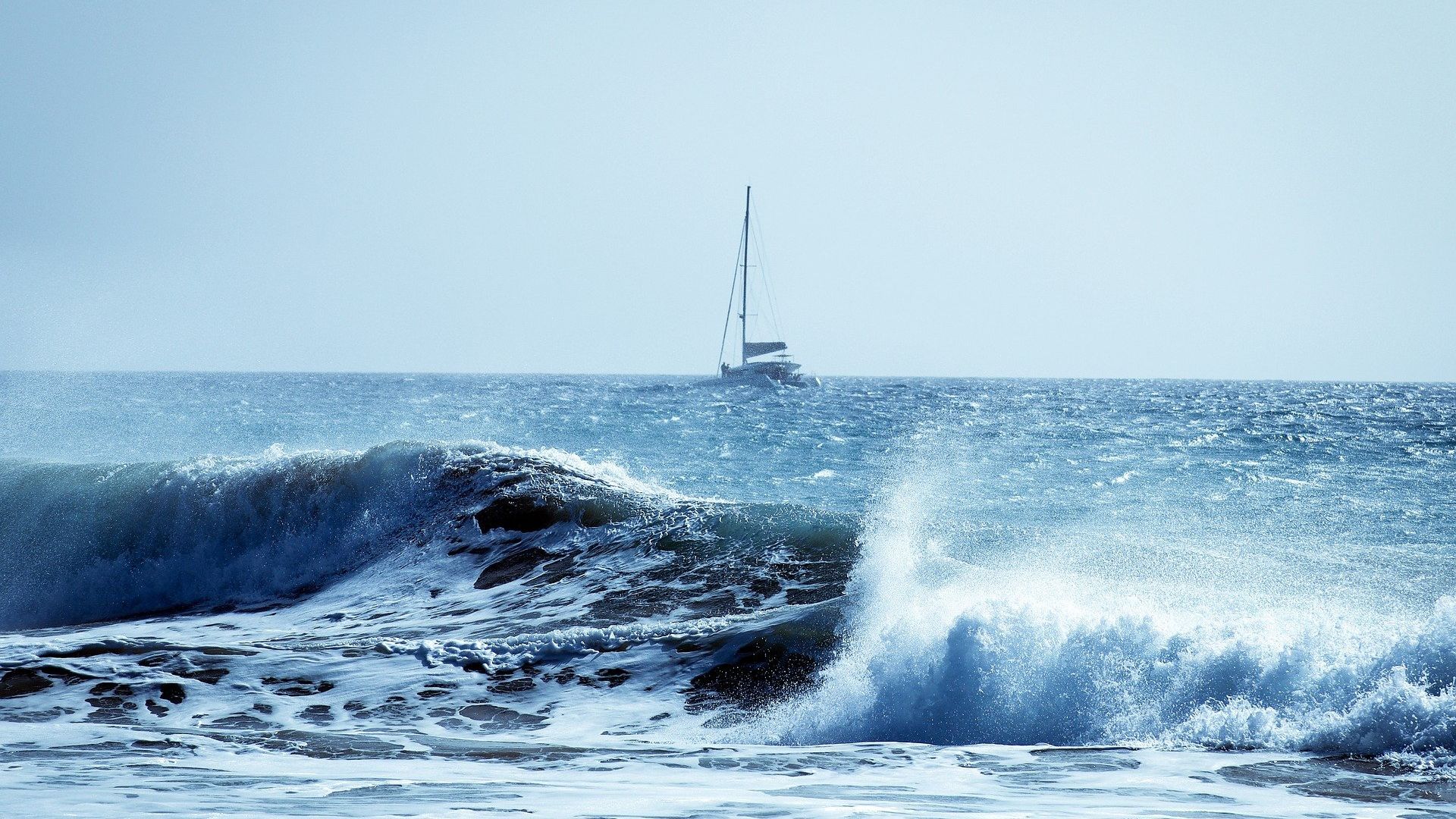
McPhaden said the short-lived phases of the Atlantic Ocean may just be a small blip in the water’s usual behavior.
“At first blush, this is just a natural variation of the climate system over the equatorial Atlantic,” McPhaden said.
A Series of Quirks in Climate

The Atlantic Ocean has seen unusual behavior patterns over the last few years.
For much of 2023, the equatorial Atlantic saw the highest sea surface temperatures in decades. “It’s the latest episode in a string of events for a climate system that’s gone off the rails for a number of years,” said McPhaden.
A Consequential Event

Scientists also don’t believe that this event is human-caused, though they also have stated that they can’t rule this idea out. Now, they will simply watch these waters and see if they can reveal its secrets.
“It’s potentially going to be a consequential event,” McPhaden concluded. “We just have to watch and see what happens.”
