The National Hurricane Center has indicated early Monday that a tropical disturbance in the southwestern Gulf of Mexico is shaping up to potentially become this season’s next named hurricane, Francine.
This development could signal the end of a brief period of calm that hurricane-prone regions have recently experienced.
Francine’s Forecasted Fury
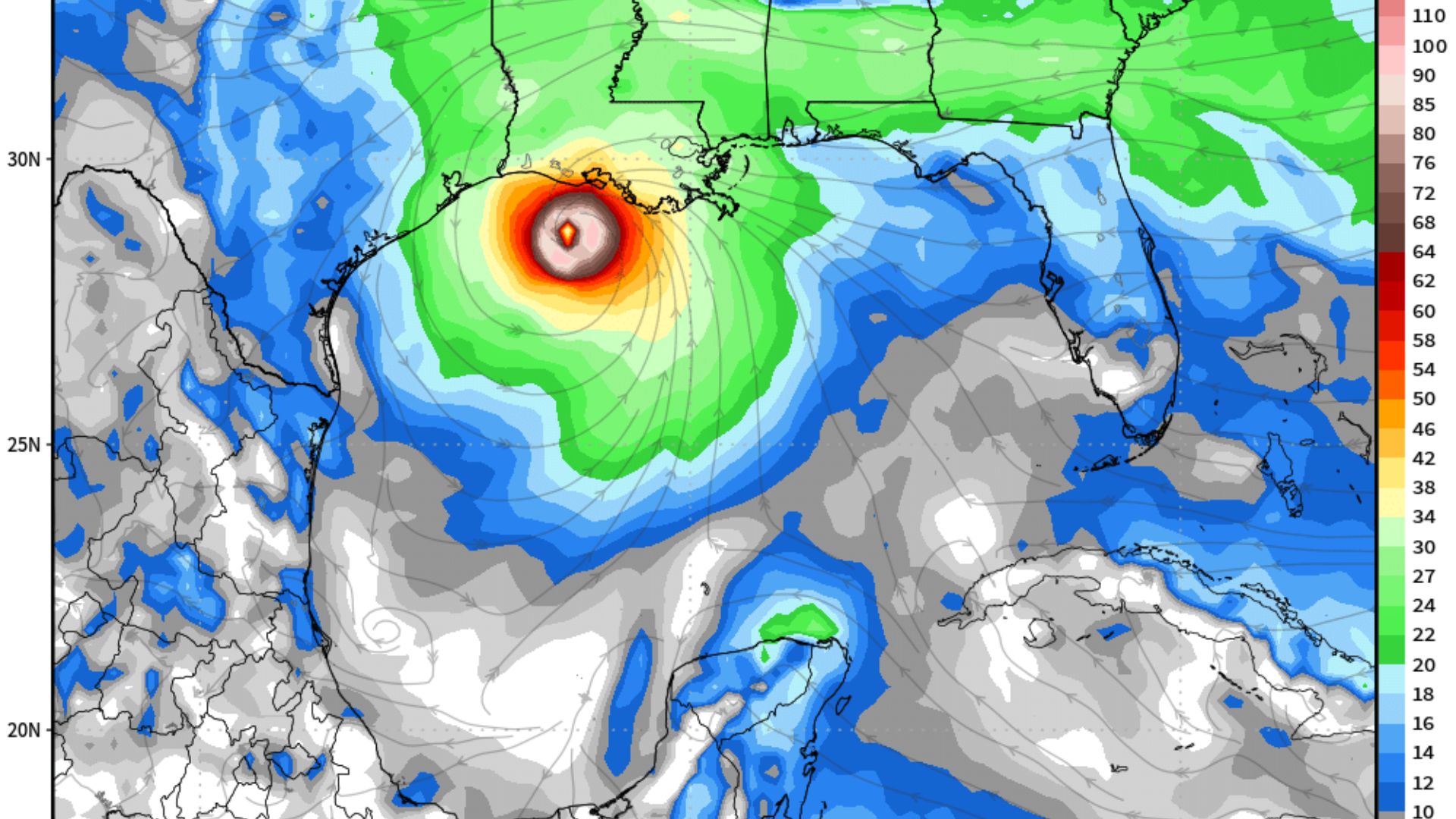
By Monday, this disturbance is expected to whip up into a tropical storm and ramp up to hurricane status shortly after.
It’s on a beeline for the northwestern U.S. Gulf coast by Wednesday, threatening “an increasing risk of life-threatening storm surge and hurricane-force winds along the Louisiana and upper-Texas coasts.”
Rain and Surge Incoming
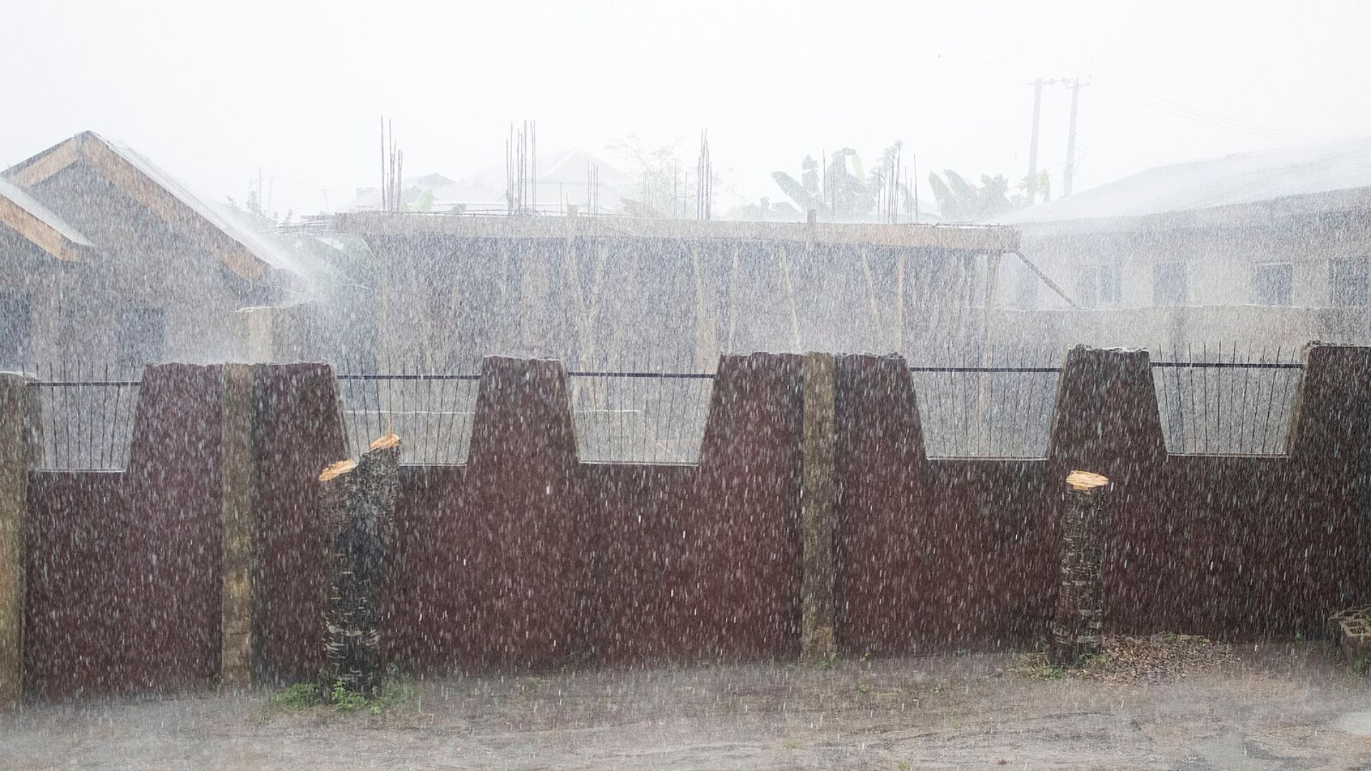
Francine is set to dump anywhere from 4 to 8 inches of rain over wide areas, with up to 12 inches in some unlucky spots.
Such intense rainfall could lead to severe flooding, particularly in low-lying areas.
Wind Warnings
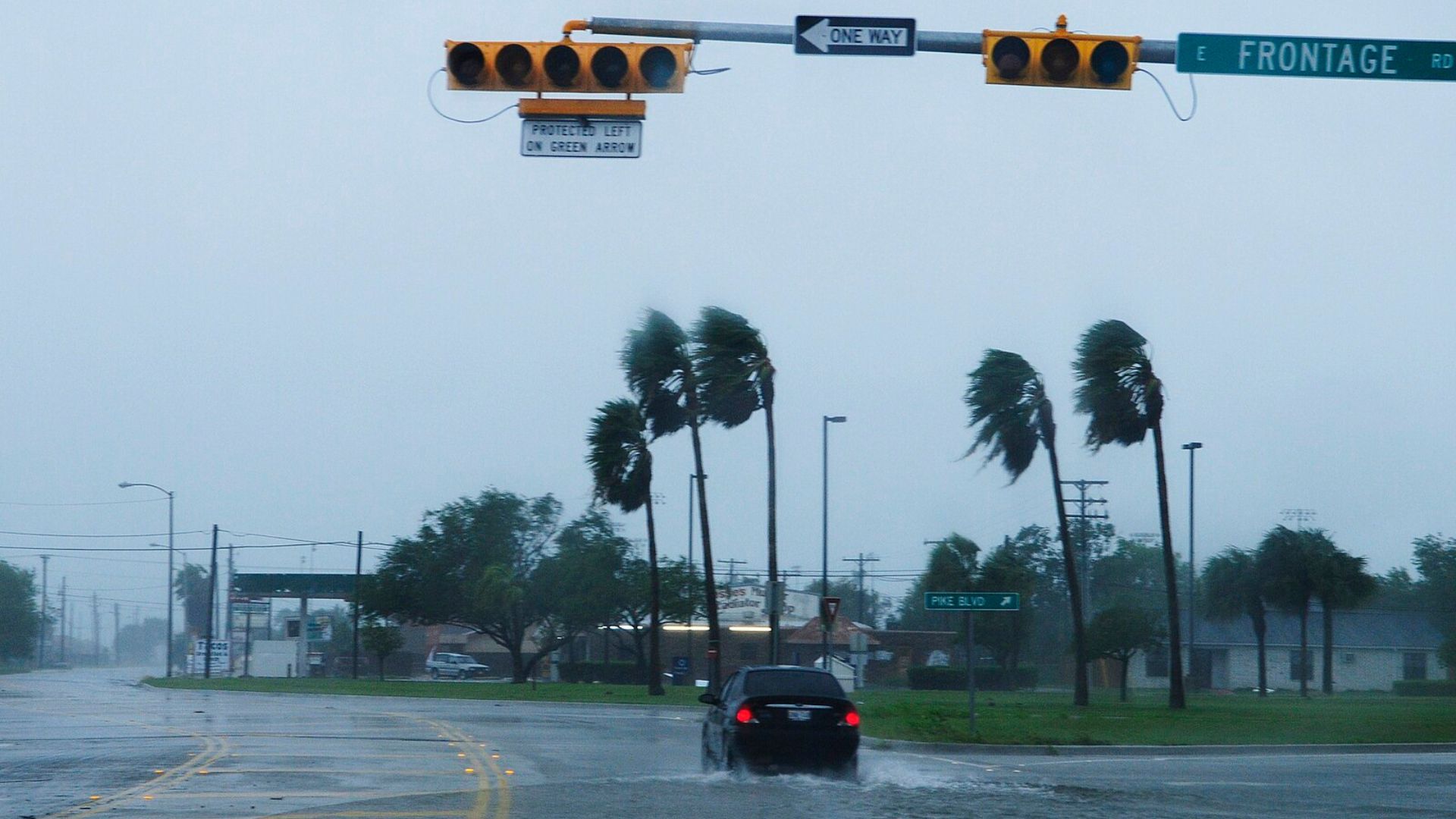
As of this morning, Francine’s winds extended up to 185 miles from the storm’s center.
This sprawling reach means the storm could impact a broad area, prompting a wider call for preparations as she edges closer to land.
Current Location and Movement of the Storm
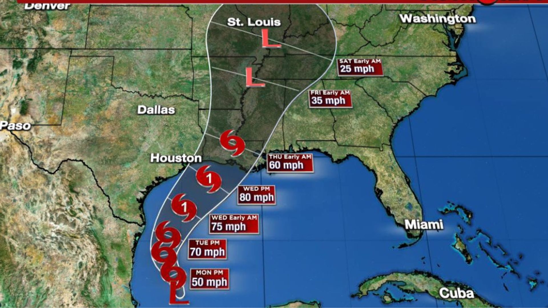
Located approximately 295 miles south-southeast of the mouth of the Rio Grande and 535 miles south of Cameron, Louisiana, the disturbance is moving slowly north-northwest at a speed of about 5 mph.
This slow movement allows the storm more time to gather strength as it approaches the coastline.
A Storm Nears Classification
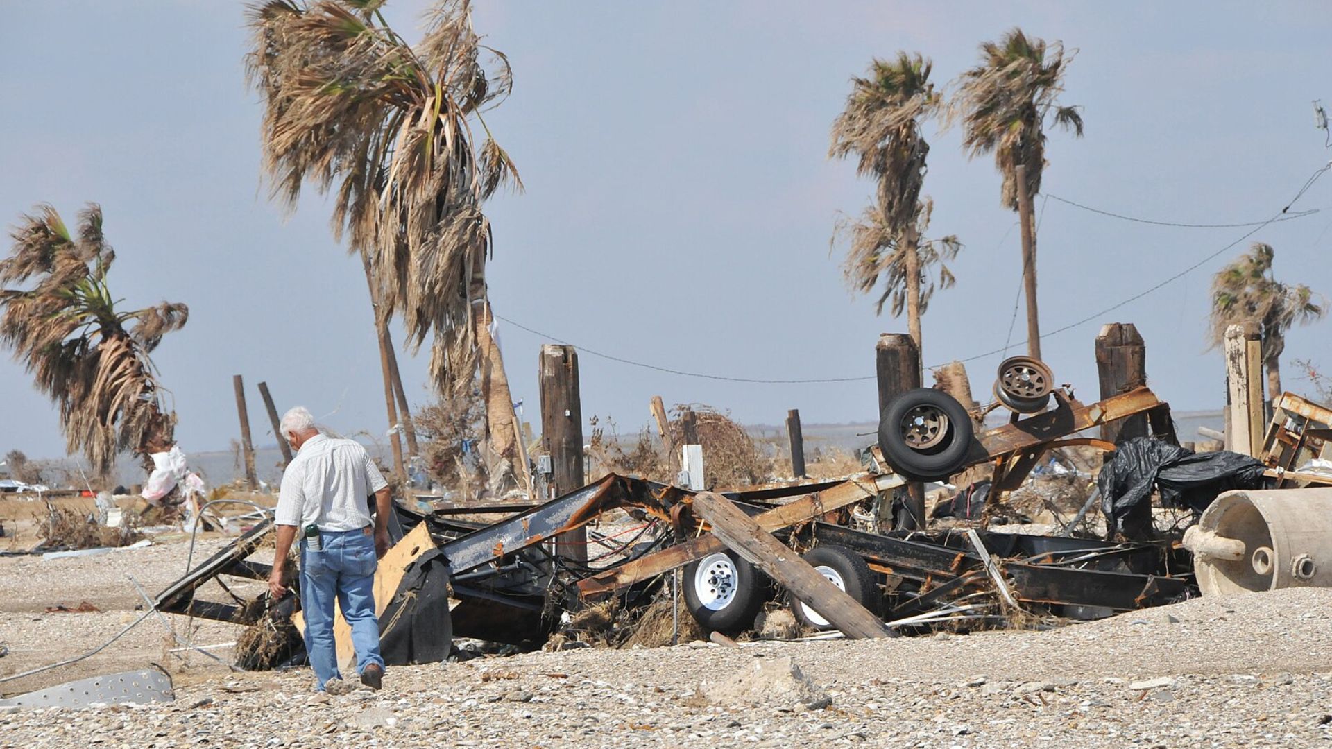
With winds howling at 50 mph, Francine is nearly ready to be officially declared a tropical storm.
Yet, as CBS’s David Parkinson pointed out, “its center wasn’t defined clearly enough yet to get that classification.” It’s a waiting game that keeps meteorologists on their toes.
Tropical Storm Watch

A Tropical Storm Watch is now in effect from Barra del Tordo, Mexico, to Port Mansfield, Texas.
If you’re in these areas, stay alert and start prepping as Francine could soon make her presence felt.
An Unusually Quiet Season? Not Anymore
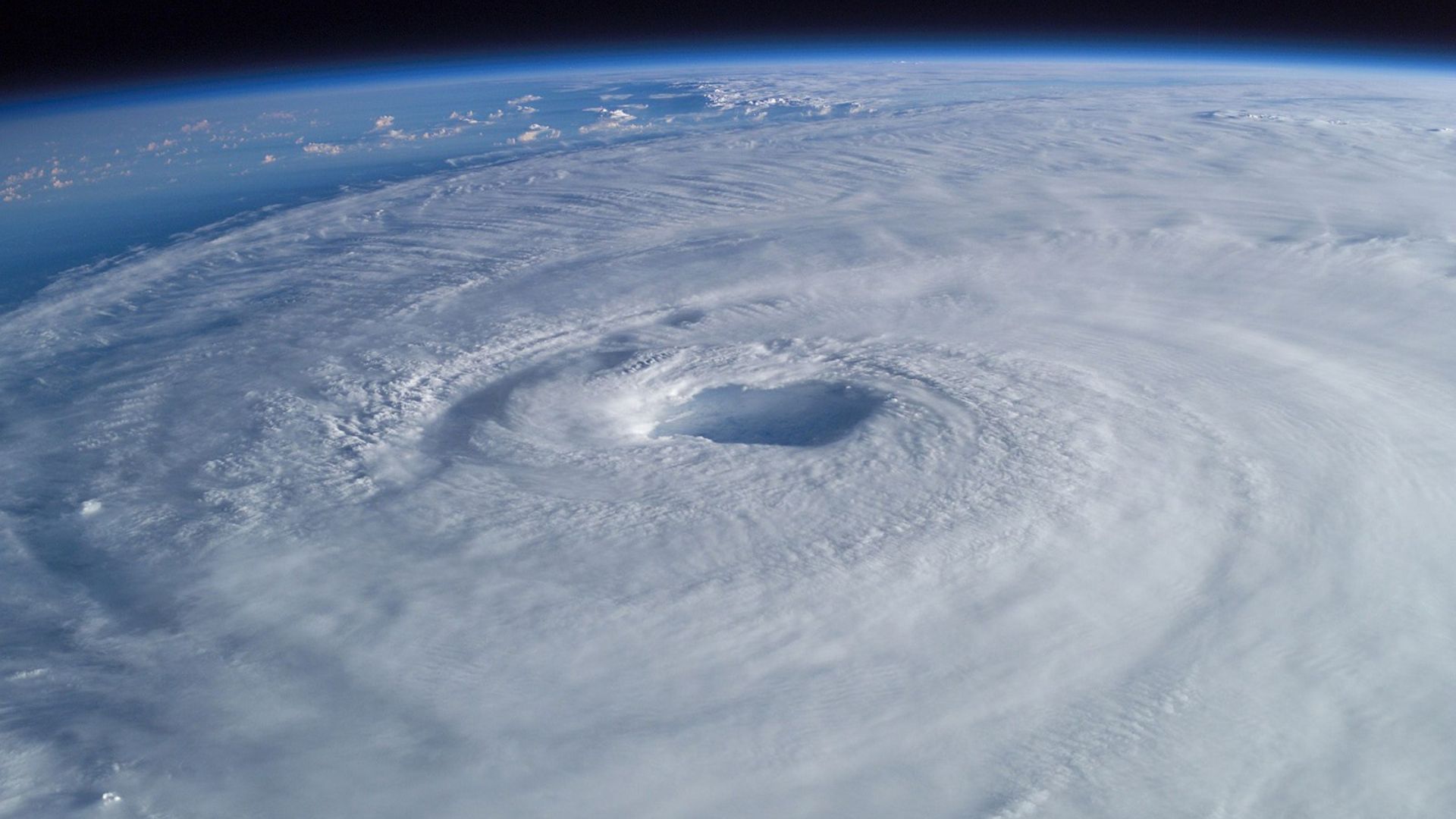
After a surprisingly serene August and early September, Francine’s arrival marks a shift in this year’s Atlantic hurricane season, which has seen fewer storms than expected.
There have been only five named storms so far.
Forecasters Still Expect Storms
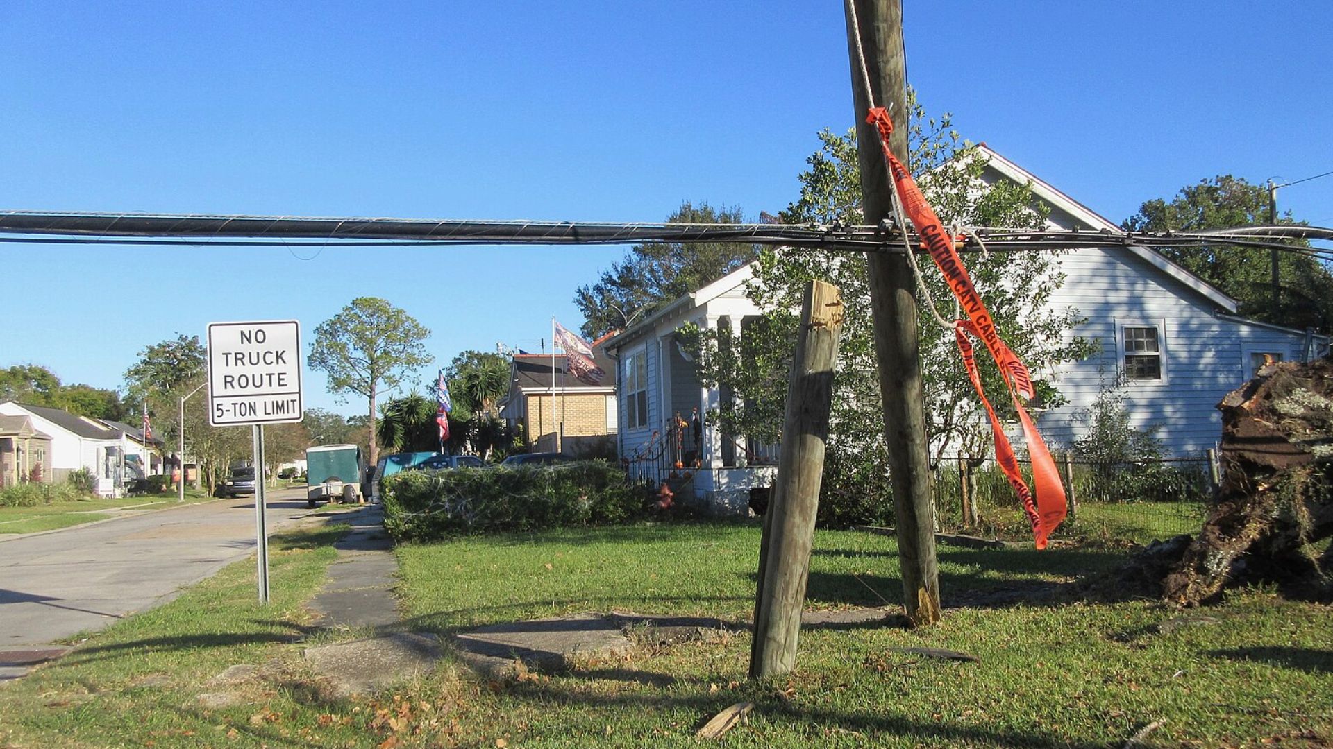
Despite the recent lull, the experts haven’t lowered their guard.
Just last week, researchers from Colorado State University emphasized we’re still in for an above-normal hurricane season. Looks like Francine could be just the beginning.
Francine’s Broader Impact
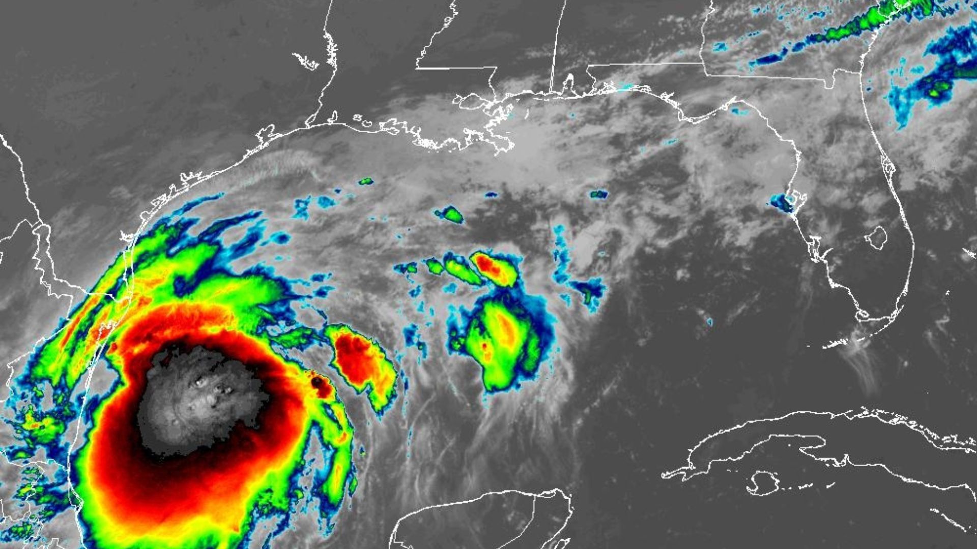
As Francine grows, so does the attention from meteorologists and emergency planners who are closely watching.
The storm’s development could hint at the intensity and frequency of storms yet to come this season.
High Alert for Coastal Communities
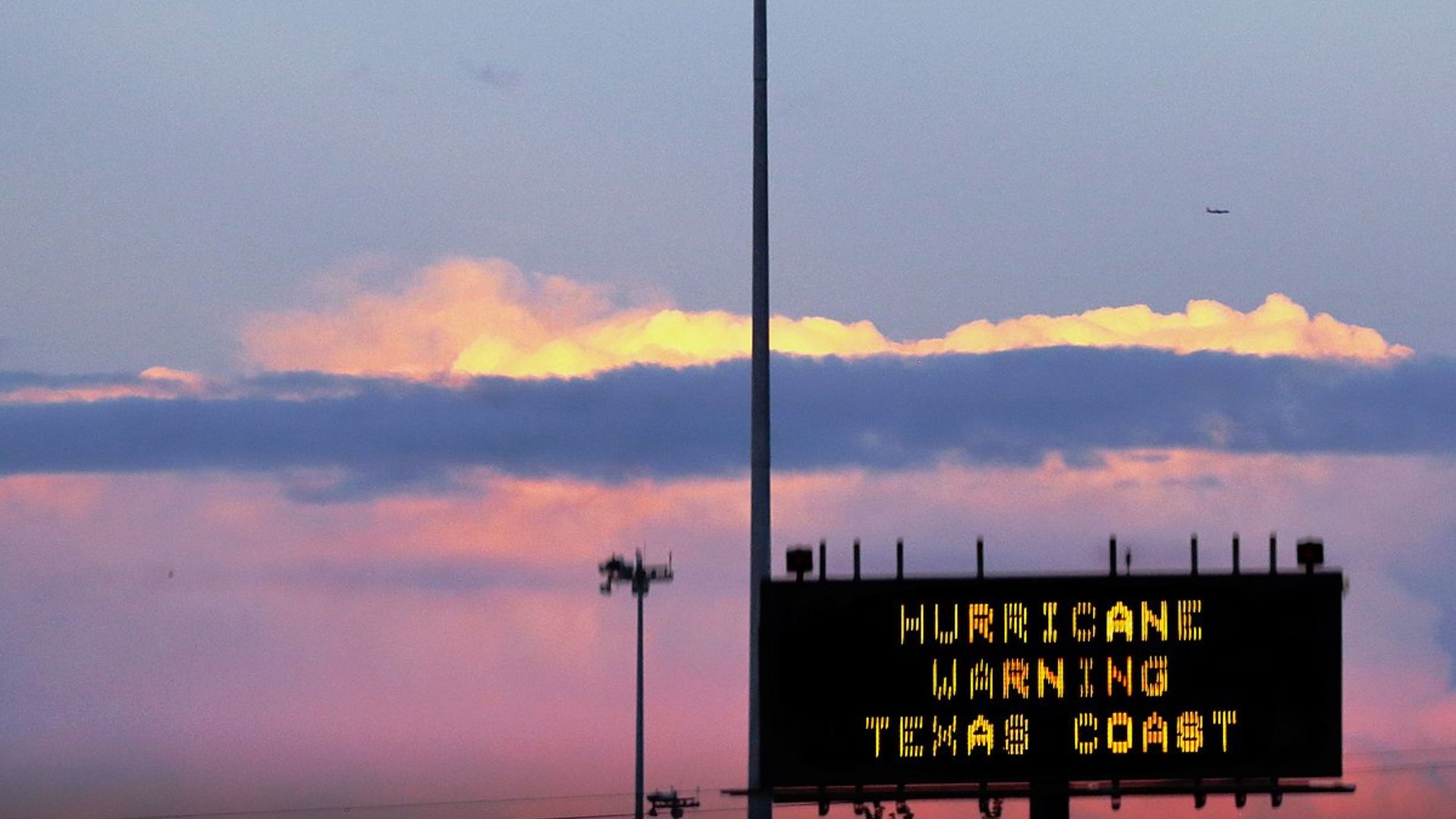
With Francine expected to make landfall by mid-week, coastal communities are on high alert.
The threat of evacuations and emergency actions looms large.
Urgent Prep Time for Residents

If you’re in Francine’s path, now is the time to act. Review and refresh your hurricane plans.
Meteorologists are strongly advising residents to get ready, emphasizing the importance of having a robust plan in place as Francine approaches, potentially as a significant hurricane threat.
