Florida’s weather is taking a dramatic turn. Meteorologists warn that a mix of torrential rain amid unusually dry conditions is brewing a recipe for potential disaster in the Panhandle and Big Bend areas.
The National Weather Service in Tallahassee has released a hydrological outlook, pinpointing the heightened risk for the coming week.
August’s Dry Spell Sets the Stage
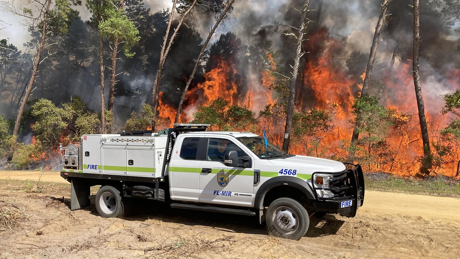
An unusually parched August left Florida with well below normal streamflows, as noted by the Tallahassee NWS office.
This dry backdrop, paired with upcoming storms, raises the threat level, increasing the likelihood of flash floods and escalating wildfire risks due to the incoming moist winds from the Gulf.
A Sudden Downpour on the Horizon

Come Thursday, Florida should expect the skies to open up, with rainfall intensifying by Friday.
This abrupt shift is thanks to a batch of stormy weather churning out moisture-heavy storms across the Gulf Coast, slated to soak Florida soon.
An Overload of Rain Expected

“Rain will fall in such a short amount of time that it could overwhelm drainage systems and contribute to flash floods,” NWS meteorologist Lance Franck revealed to Newsweek.
This imminent deluge is set to surpass normal rainfall levels, potentially offsetting August’s dryness but at a cost.
Eyes on the Florida Panhandle Coast
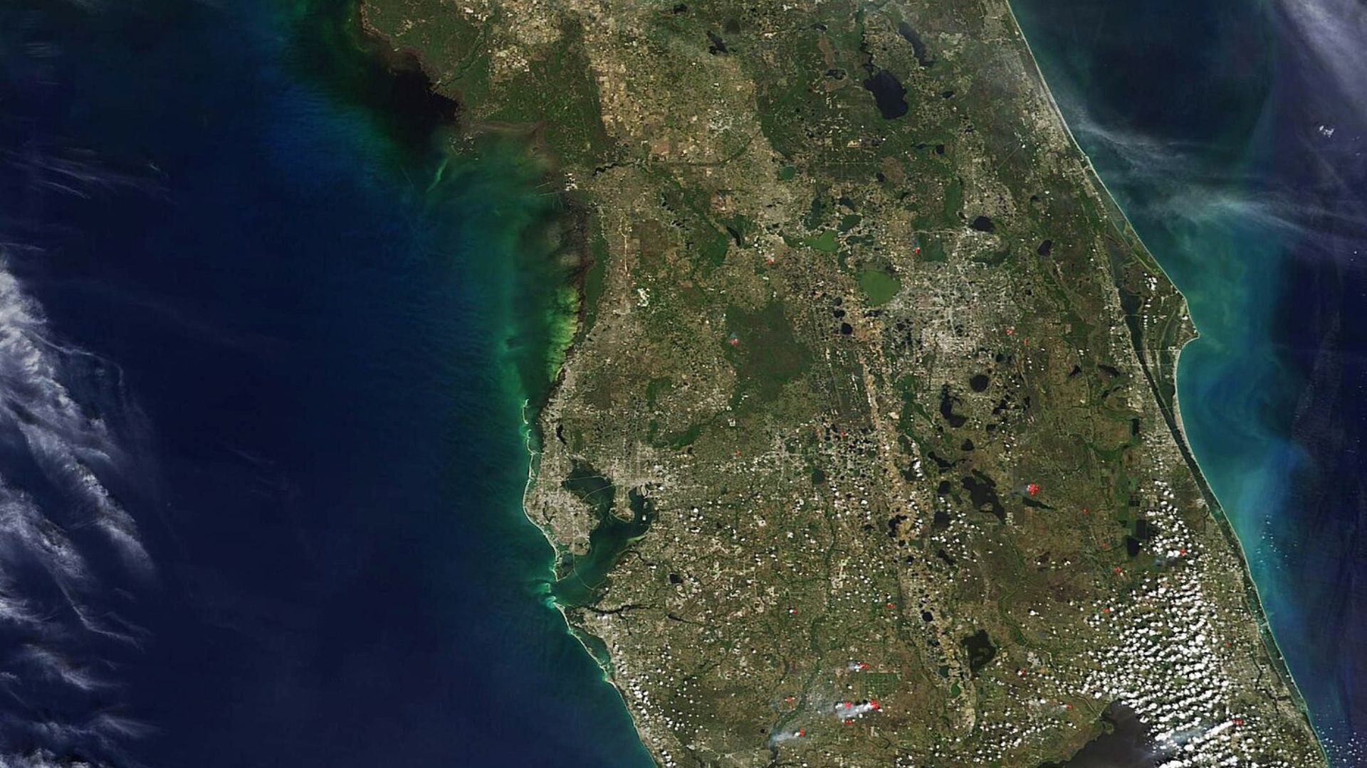
The Florida Panhandle Coast is expected to bear the brunt of the storm, with significant rain forecasted to reach even further inland, south of the state line.
The detailed hydrological outlook underlines the severity of the impending conditions, which could impact extensive areas.
Lessons from Recent Gulf Coast Storms
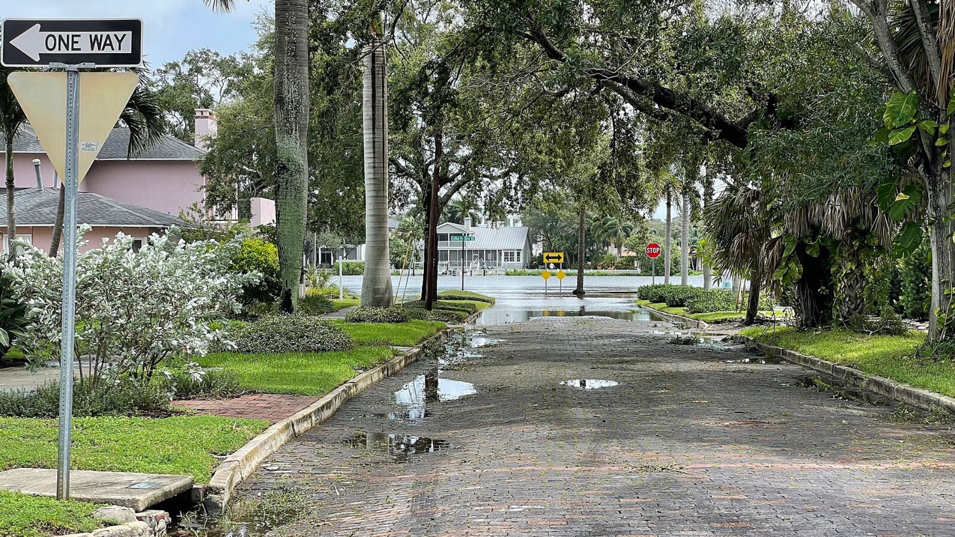
Texas has already felt the wrath of similar Gulf storms, suffering from severe flash floods.
Now, the NWS Weather Prediction Center is cautioning that the ongoing weather pattern could dump upwards of 10 inches of rain on the Gulf Coast states, including Florida, by Sunday.
Not Just a Coastal Concern
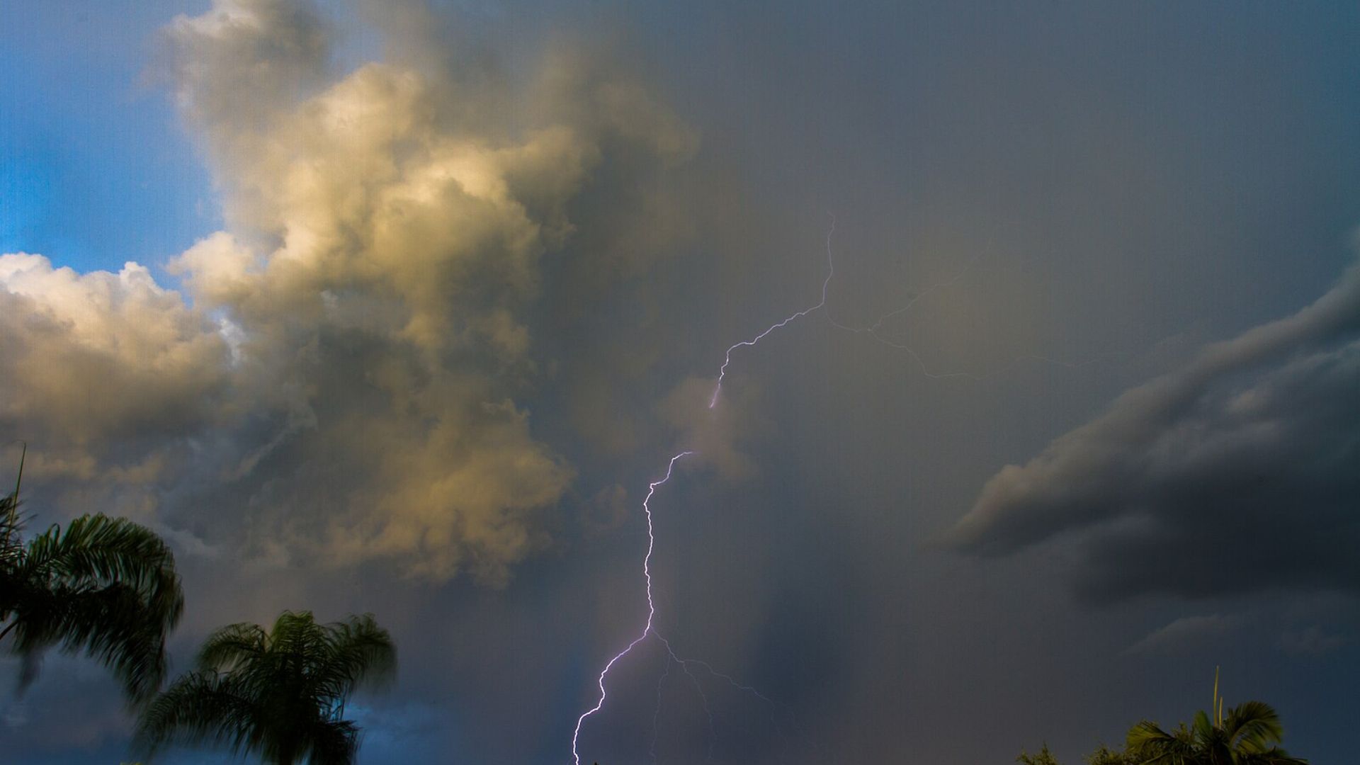
The forecast isn’t any brighter for inland areas, which could see anywhere from 3 to 6 inches of rain.
The widespread nature of the storm means that urban and coastal areas alike should brace for potential significant flooding.
Travel Warnings Amidst the Storm
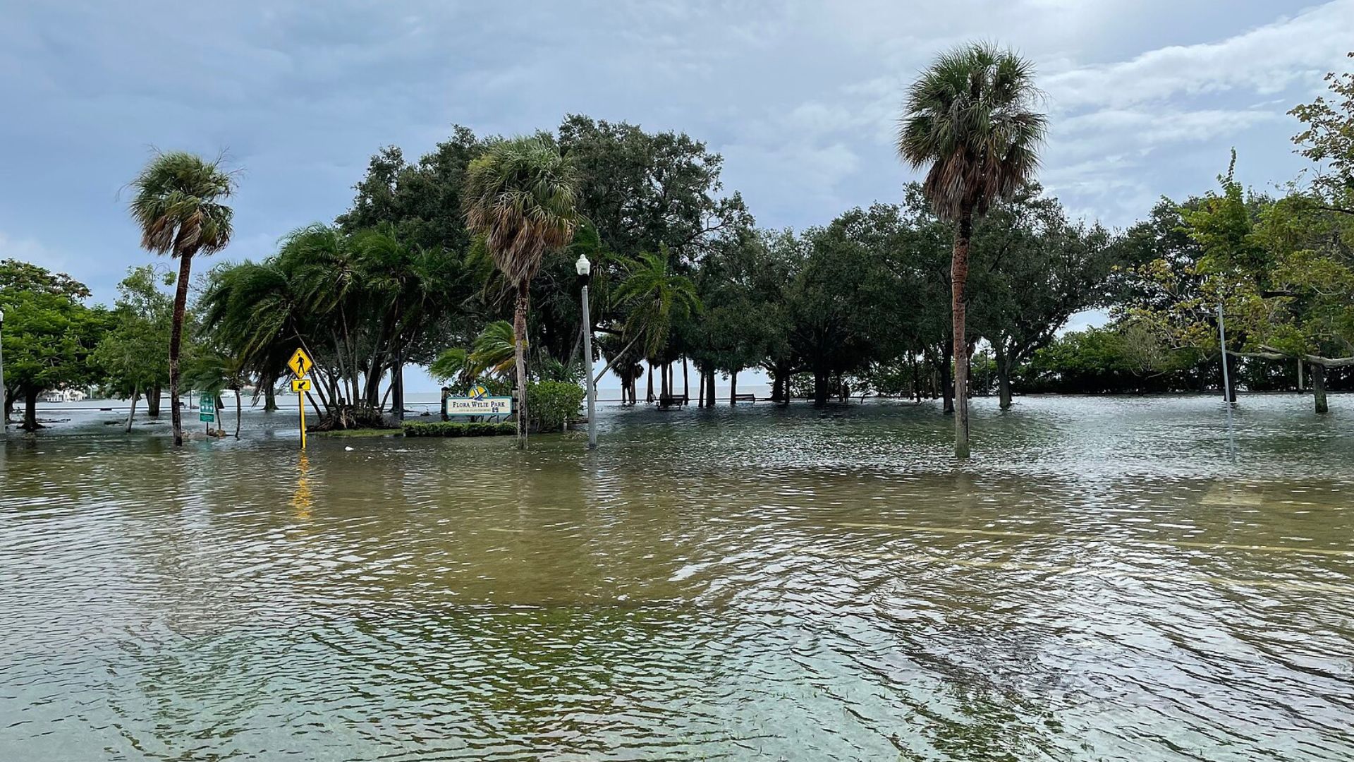
Lance Franck advises, “if drivers encounter flooded roadways, the smart choice is to turn around and go a different way.”
This advice is part of broader safety measures aimed at preventing travel accidents during the storm.
The Hidden Danger of Night Flooding
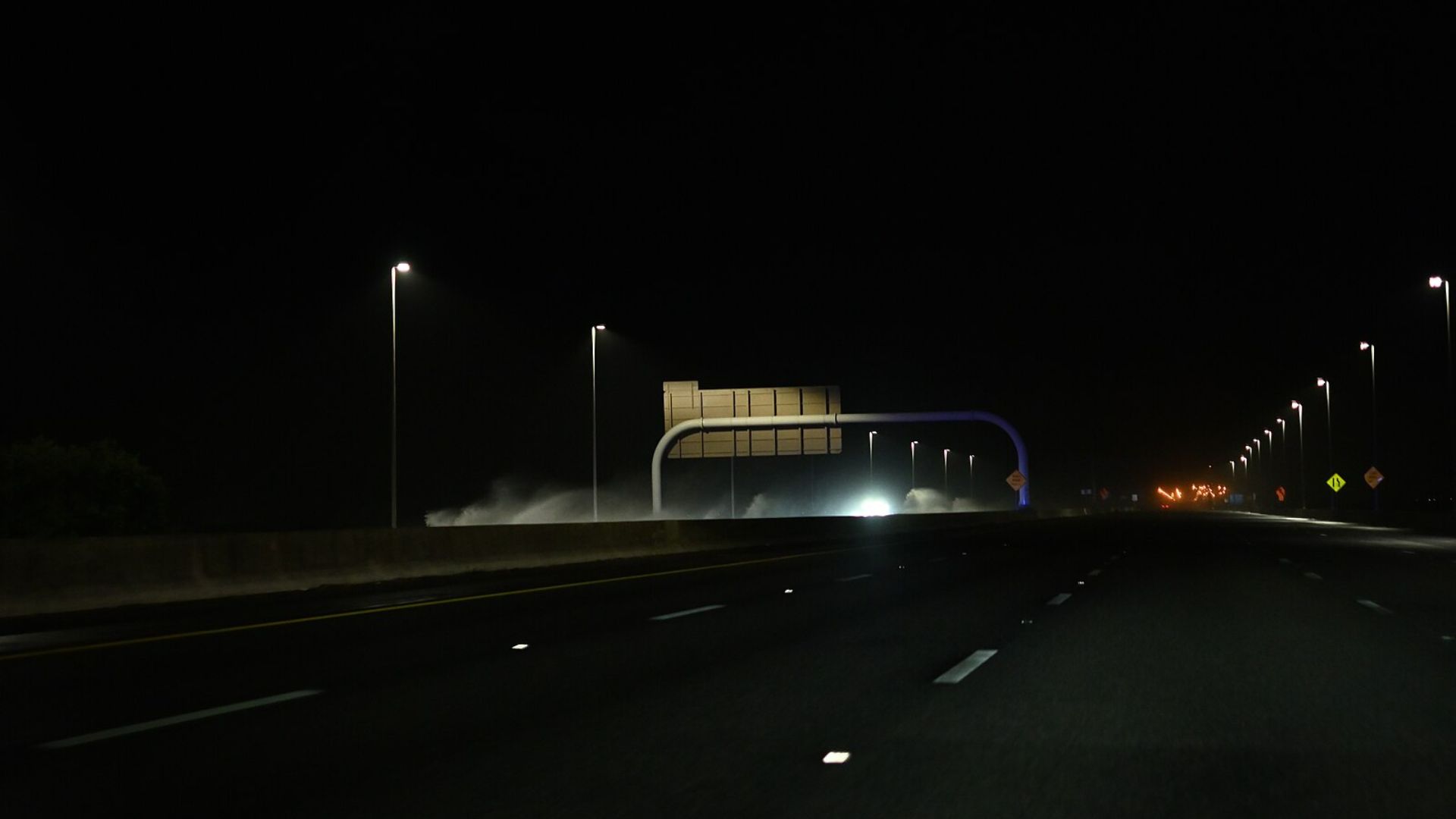
Flooding at night poses a particularly dangerous threat, the outlook warns.
Residents in flood-prone areas are urged to take extra precautions and prepare for emergencies that could arise under cover of darkness.
Be Prepared, Stay Safe
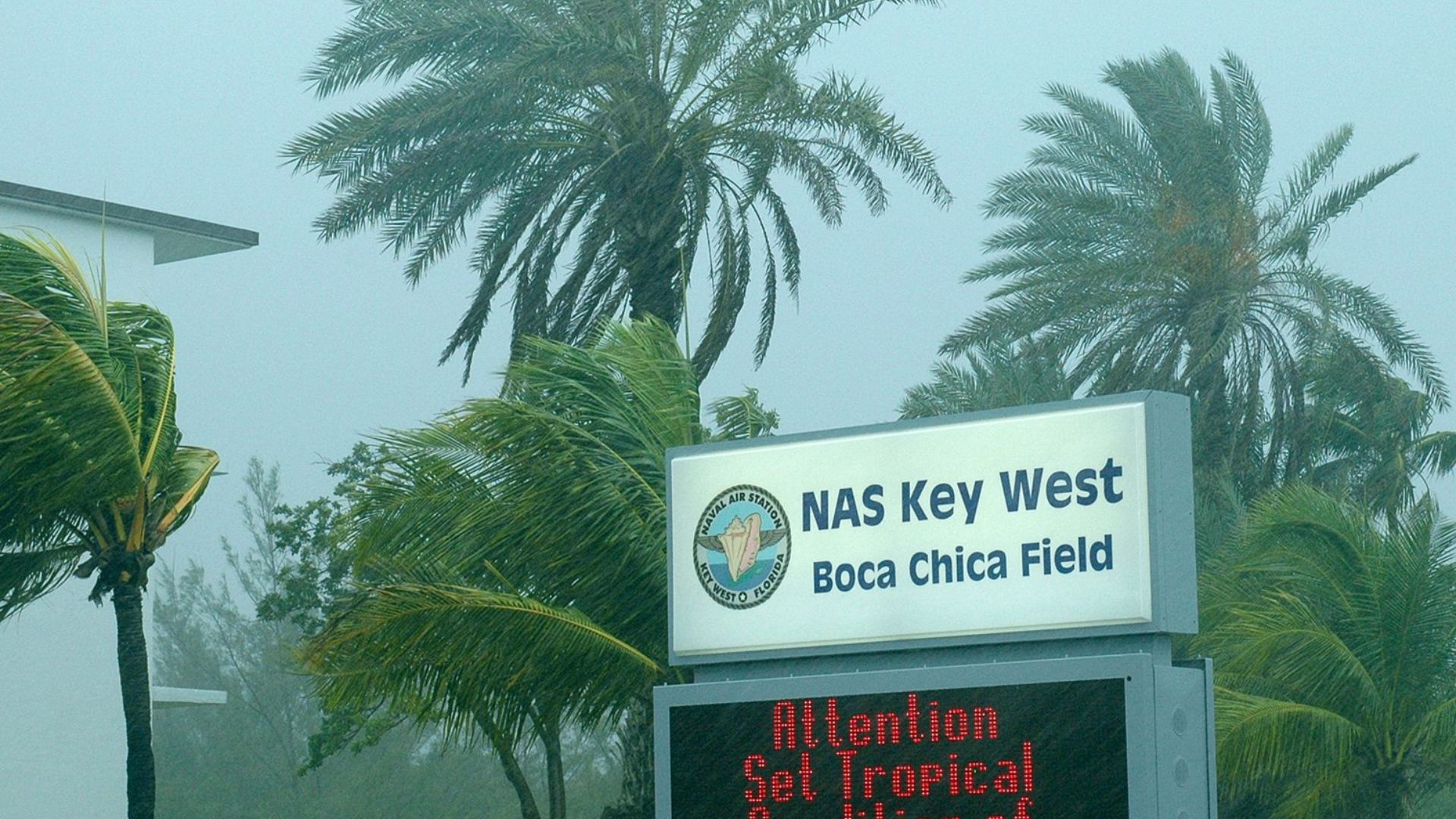
Residents in vulnerable zones are encouraged to assess their flood risk and prepare for rapid response.
The hydrological outlook advises everyone to stay vigilant and ready to act should the weather conditions deteriorate further.
Flood Watches Extend Beyond Florida
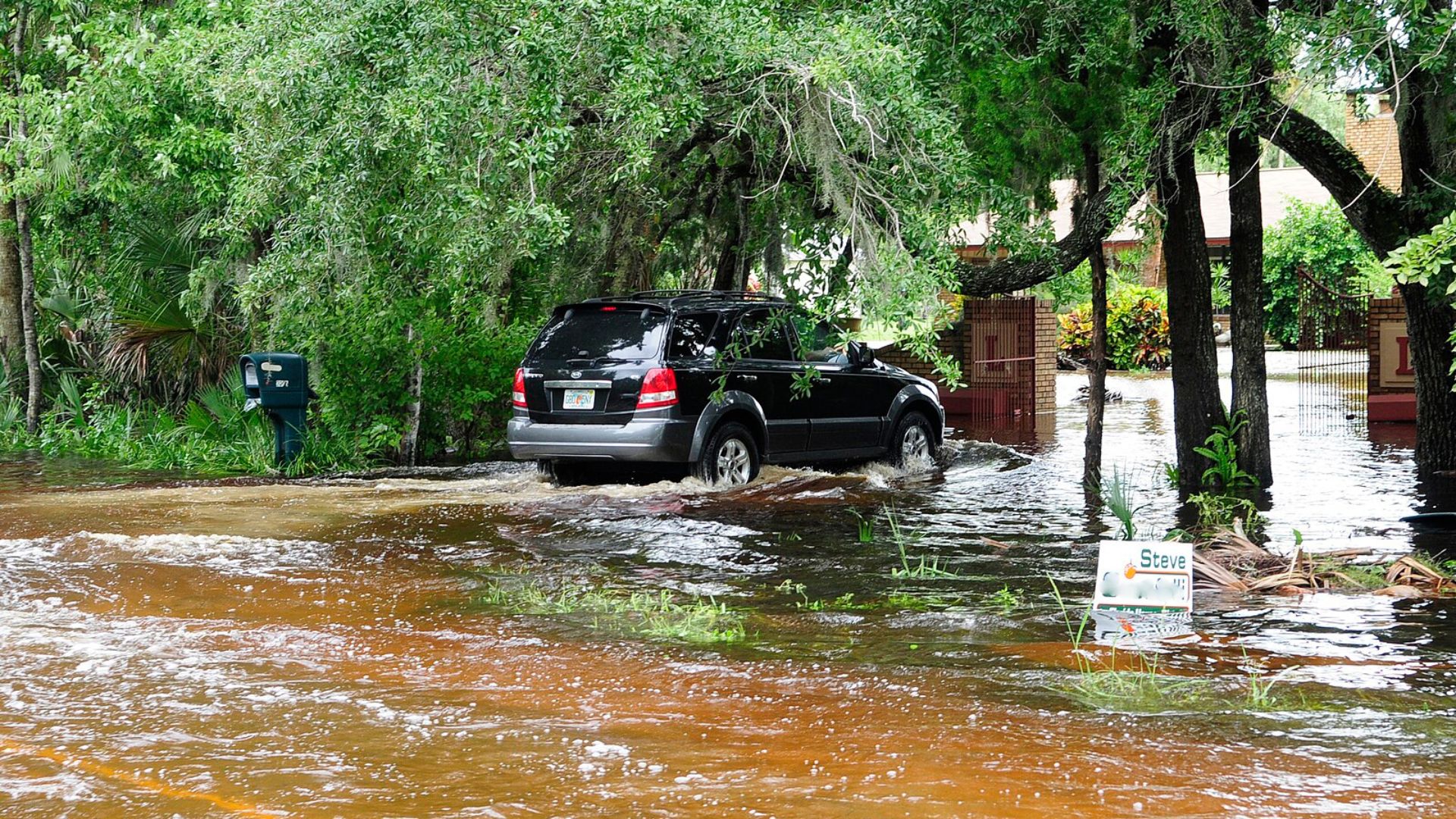
The storm’s effects aren’t confined to Florida alone.
Neighboring Texas and Louisiana are also under flood watches, with persistent heavy rains indicating a widespread and ongoing weather event affecting multiple states.
A Widespread Weather Crisis
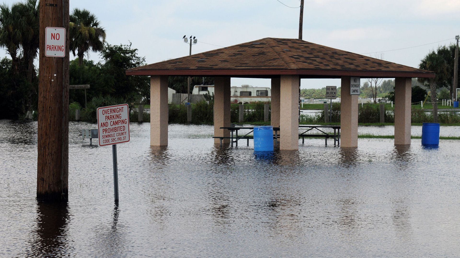
The slow-moving Gulf storms are causing more than just local trouble; they’re a part of a larger pattern of severe weather affecting a broad swath of the Gulf Coast.
This situation serves as a reminder of the powerful impact that such storms can have, reaching far beyond local boundaries.
